


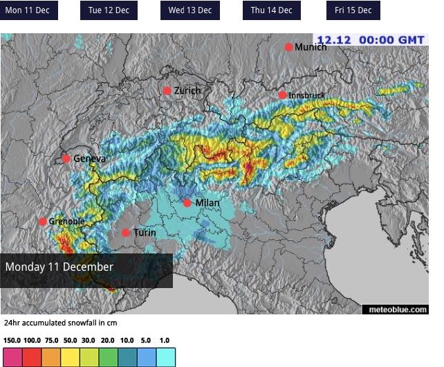
We’re in the middle of a miraculous spell of mid-December weather. Early-season conditions were already pretty good at the start of the month – but last Thursday it began snowing again across the northern Alps, and according to current forecasts, it won’t really let up until December 18.
It’s not been snowing continuously. There have been several breaks in the weather already. Each successive weather front has a slightly different focus, too. But the overall effect has been to boost the cover significantly across the whole region.
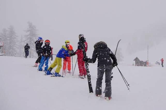
I was in Serre Chevalier on Friday and Saturday, and left just before the storm really got going. There was 40cm of new snow there yesterday, at the top of the mountain, and the cover is 35-100cm deep. Here’s how it looked mid-mountain yesterday.
It’s been snowing there today, too, and the avalanche risk is now up 4/5, which rules out any off-piste skiing.
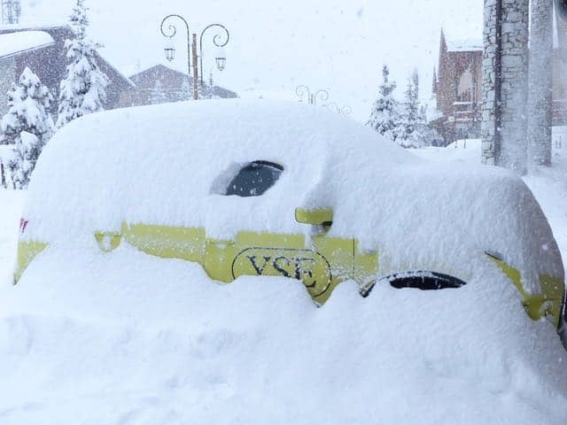
Meanwhile, in Val d’Isere, they reckoned on 60cm of fresh snow yesterday, and have 108-165cm of settled cover across the slopes. Again, the avalanche risk is 4/5.
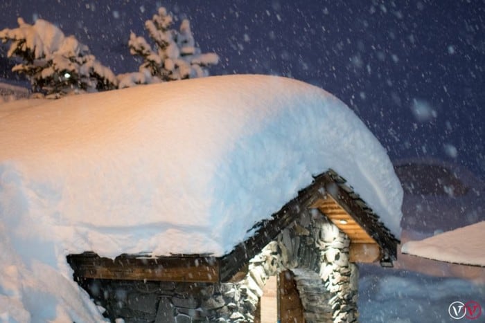
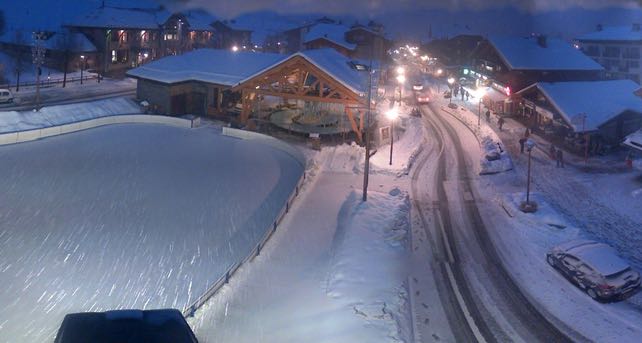
In Val Thorens, in the Three Valleys, there’s 115-140cm of settled snow. Here’s how it looked last night.
Meanwhile, the Austrian Arlberg saw heavy snow on Saturday, and St Anton reports 45-250cm of cover, while up on the Stubai glacier, south of Innsbruck, which is being hammered by snow today, there’s over two metres of settled snow on the pistes.
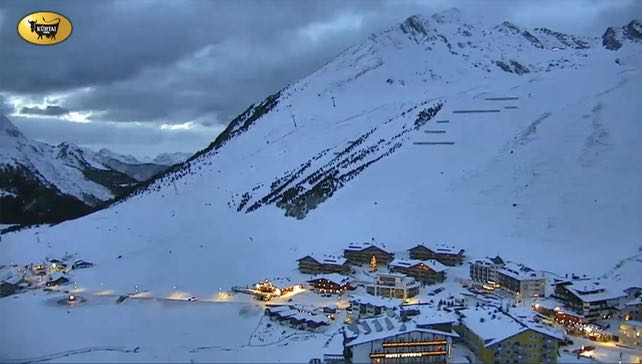
Here’s how it looked in Kuhtai near Innsbruck this afternoon.
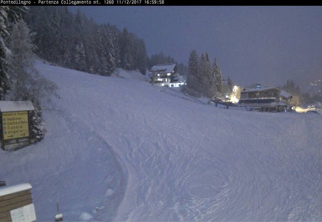
One feature of the snow today is how heavy it’s been at the eastern end of the Italian Alps. Here’s how it looked at Passo Tonale this evening. Nearby, Madonna di Campiglio has also seen heavy snow.
However, it did warm up significantly today for a time, and there’s been rain at village level in many resorts. Fortunately, temperatures are dropping again. As you can see from this shot of Les Gets, set at 1200m, the snow is falling again as I write.
These are the best early-season conditions we’ve had since 2012, and lucky are the skiers who’ve been able to enjoy it. With Christmas round the corner, the Alpine ski industry has heaved a huge sigh of relief – although it’s going to take at least one more cold December to convince many skiers to switch back to the early season for their holidays.
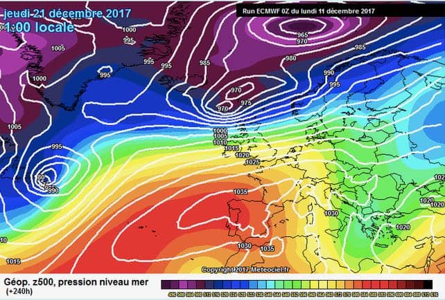
It’s also worth bearing in mind that a sharp thaw could develop next week, especially in the western Alps. It’s too soon to be sure of this, but anyone hunting for a last-minute Christmas bargain should bear it in mind. It’s not that the slopes will be snowless: but the quality of the cover on the lower slopes will have been affected by a cycle of melting and refreezing.
Here’s the ECMWF’s forecast for December 22, to give you an idea of how different next week might be.


Add Comment