


Hallelujah, Snowfiends! It looks as though the Christmas storm lived up to its promise.
Admittedly, the white stuff wasn’t evenly distributed across the Alps. A few isolated spots in Switzerland, Austria and Italy were walloped by a staggering 100-150cm – while some of the lower resorts in Austria saw a lot of rain at village level, with less than 10cm of snow higher up.
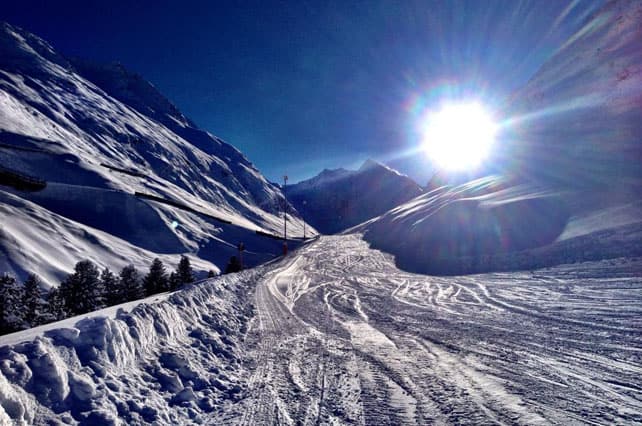
Generally speaking, however, most resorts saw 25-50cm, with big differences between accummulations at the top and the bottom of the lift systems. In most cases, it’s been more than enough to set the pistes up for a superb day of skiing today, especially if you stick to the higher slopes.

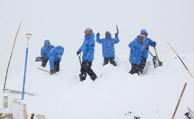
Off-piste, conditions are more variable. The cover was very thin across the Alps before the Christmas Day/Boxing Day storm, and in many resorts skiers will still have to accept that they’re going to scrape the odd rock on popular off-piste descents. They’ll need to be disciplined about avalanche safety, too: thanks to high winds, unstable wind slabs are a feature of snow cover off-piste, and the avalanche risk is up to 3/5 – “considerable” – in most areas as a result.
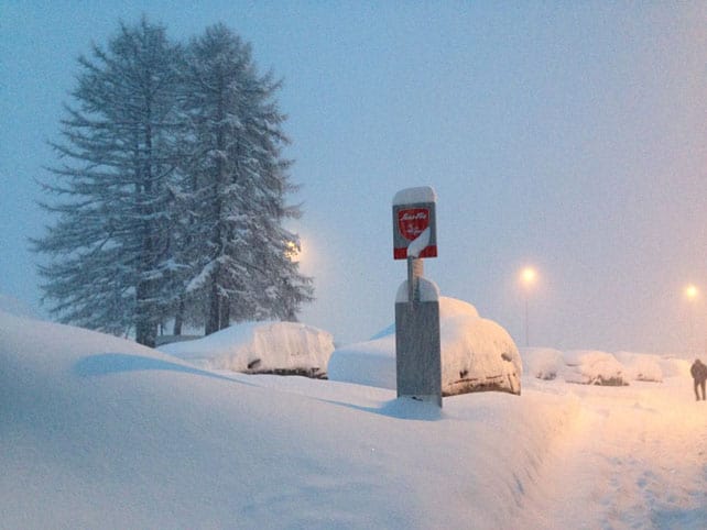
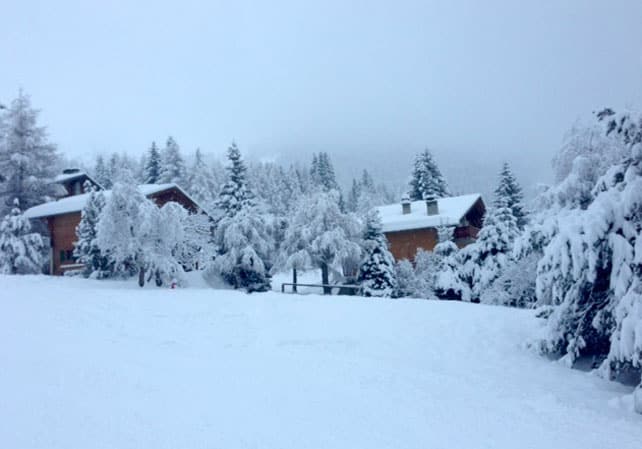
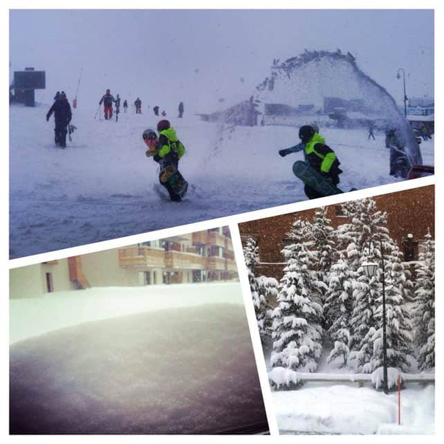
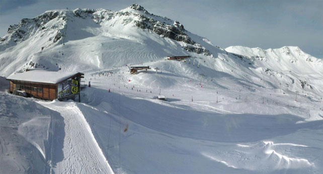
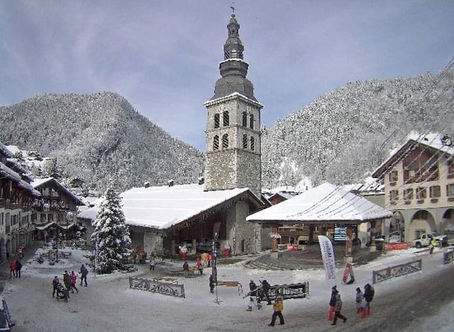
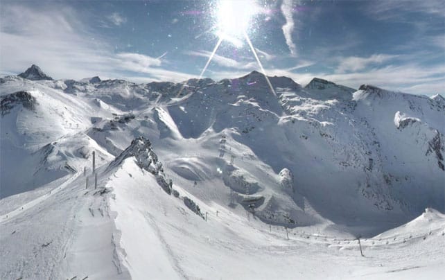
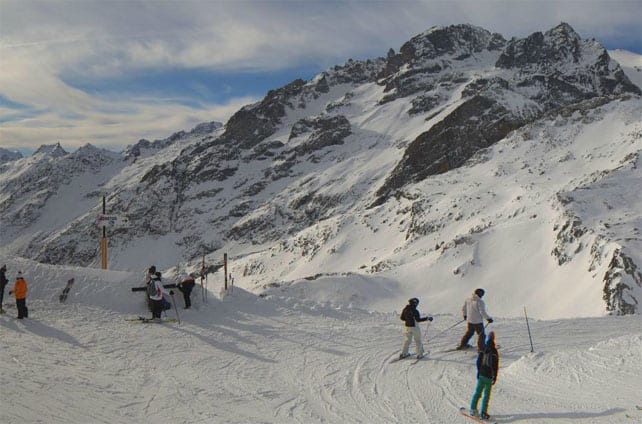
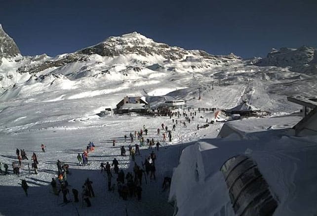
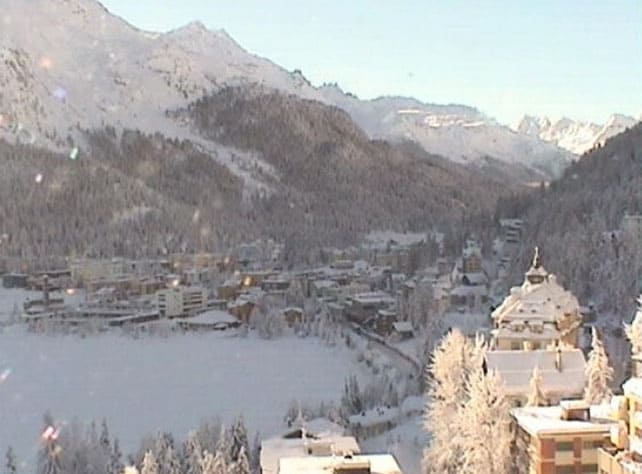
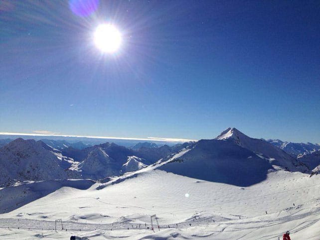
Here’s a brief survey of webcam shots and Facebook pictures from the resorts.

More snow is on the way
One feature of today’s weather are the mild temperatures. In the French Alps, the freezing point is likely to rise to 2300m in the sunshine – and in Austria, it’ll be almost as high. That’s going to affect the snow cover on sunny slopes – so it’s good to know that more snow is on the way today and tomorrow.
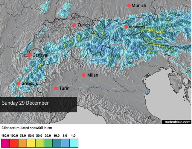
Here’s the snow forecast for the Alps for Saturday.

And this is the forecast for Sunday.
One thing to note about this coming dump is the fact that temperatures will be quite low – the snow should fall down to village level, even in the lowest resorts. However, if I were heading out to the Alps in the near future, I’d still target a high-altitude resort. It has been a mild winter so far, and there’s no sign yet of profound change.
It looks as though there will be more snow on New Year’s Day, too.
More snow in the Pyrenees
It wasn’t just the Alps that had snow over Christmas. Pictured below, was the Grandvalira ski area in Andorra yesterday.
Meanwhile, in Catalonia, Baqueira-Beret reports 40-50cm of new snow, depending on altitude.
Pre-Christmas powder in the Rockies
In the immediate run-up to Christmas, there was more snow in the Rockies too. As in the Alps, it was unevenly distributed, but some places did well.
This video was shot in Vail, Colorado on December 23 – when the resort reported 22cm of fresh snow overnight and 53cm in four days.
Jackson Hole in Wyoming did well, too, with 76cm over a similar period. On December 23 Breckenridge reported 20cm – which was a great curtain-raiser for the opening of Peak 6 on Christmas Day. Here’s the opening-day video…
Generally speaking, the next five or six days in the southern half of the Rockies are likely to be dominated by high pressure. Further north, in Canada, Montana and Wyoming, snow is in the forecast for the start of next week.
| France: Most French resorts saw moderate accumulations of snow from the Christmas storm. 30cm was fairly typical at altitude. Conditions almost everywhere are much improved as a result – on-piste at least. Thanks to high winds, and the fact that the existing snow pack was unstable, the avalanche risk in currently considerable off-piste. Currently, Les Deux Alpes has 15-180cm of settled cover, on-piste, Val d’Isere has 58-105cm, Val Thorens has 95-140cm, Meribel 50-110cm and La Clusaz 30-140cm. | |
| Switzerland: 30-40cm was a fairly typical figure for new snow from the Christmas storm, although there were exceptions. Andermatt had around 50cm of new snow, and now has 55-350cm of settled-cover, on piste, depending on altitude. Elsewhere, Laax the settled cover is 30-140cm deep, in Verbier it’s 18-103cm deep and in St Moritz it’s 86-132cm deep. | |
| Austria: Some parts of Austria had heavy snow over Christmas. The Stubai Glacier reports around a metre of powder, and Obergurgl had up to 80cm of fresh snow. However, the lower ski areas further north had much less, and the Skiwelt reports cover only 20-40cm deep today. Fortunately, the snow that’s in the Alpine forecast for Sunday should help. | |
| Italy: The Italian resorts did well from the Christmas storm. In Cervinia, for example, there was 35-70cm of fresh snow. Madonna di Campiglio reports a whopping 120cm, and in the main Dolomite skiing area in the east, the slopes above Canazei had 15-70cm of new snow. | |
| Andorra: Thanks to heavy snow in November, the Pyrenees got off to a cracking start to the season – and them heavy snow at Christmas has left them in excellent shape for the rest of the holidays. In Andorra, Grandvalira currently reports 90-170cm of settled snow, on-piste. | |
| Western USA: See our main report. Most Rocky-Mountain resorts had a top-up of snow before Christmas, and in some places it was heavy. In California, by contrast, they’re aching for more snow. Currently, Breckenridge has 107cm packed down, mid-mountain, Snowbird has 122cm, and Jackson Hole 110cm. | |
| Western Canada: Whistler could do with a decent dump. It’s had lots of little top-ups, but nothing like its usual big storms. Currently the mid-mountain snowpack is 90cm deep. In Banff National Park, Lake Louise has a drier climate than Whistler, but the resort had a couple of 30cm-snowfalls in mid-December, and the mid-mountain snowpack is also at 90cm as result. Meanwhile,Revelstoke reports 17cm of fresh snow in the last 24hrs and a mid-mountain snowpack of 126cm. |


Our latest Snow Report surveys the impact of the Christmas storm in the Alps. https://t.co/e99mnPNzaX