


Hold onto your bobble hats, Snowfiends, and grab an umbrella. The weather is about to go slightly bonkers.
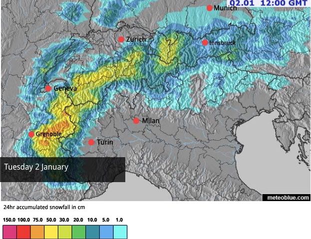
This week, we’ve already seen one thaw, followed by a meaty snowstorm. Now, another wave of heavy snow will be followed by a second thaw, which will be rather more bothersome than than the last, especially in the west.
Tomorrow, we’ll see the daytime freezing point jump to around 2300m in the French Alps, and there will be heavy rain up to 2000m. Then, on Sunday, when the skies are expected to clear, the freezing point will shoot up to 3000m, before plummeting again on New Year’s Day.
As a result, skiers will experience everything from light, fluffy powder to slush, to icy, hard-packed pistes between December 30 and January 1.
Finally, if the forecast holds good, the region will see a return to winter on Tuesday, when heavy snow is expected across most of the northern Alps. According to the European Centre for Mid-Range Forecasts this will be the start of a more consistent period of cold, which could last until January 8.
Right now, there’s plenty of snow around at all altitudes. Generally, it’s deepest in the French and Swiss Alps, but the Austrian Arlberg is doing well too – St Anton reports 80-310cm of snow on its slopes. The Italian Dolomites are also in great nick, thanks to the 35-80cm that fell there yesterday. The rain will be a nuisance, but it will be short-lived and there’s just too much of the white stuff around for anyone to worry about grassy pistes. Especially as more snow is coming.
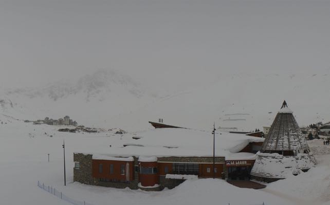
Here’s a very quick Friday-afternoon survey of the webcams – starting in the west, where the latest snowstorm is in full swing. Pictured below was the bottom of the slopes at La Daille in Val d’Isere, which currently has 104-161cm of settled cover on its pistes.
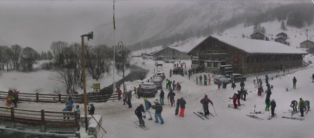
Below is how it was looking at the end of the day in Meribel-Mottaret, in the Three Valleys. Here, there’s 88-168cm of settled cover on the pistes.
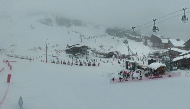
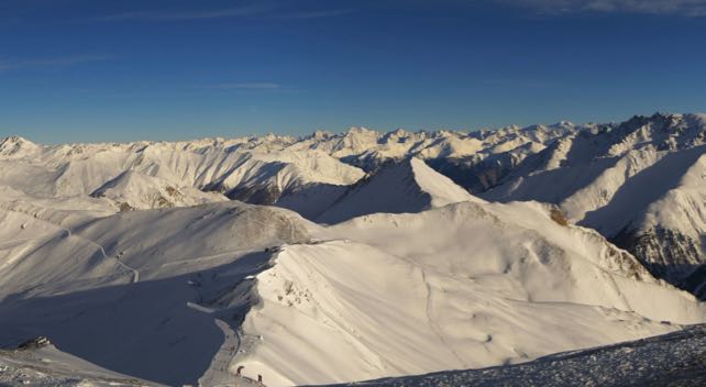
Here’s how it was looking this afternoon in Ischgl in the Austrian Tirol, where the average snow depth is around a metre. The snow falling in the western Alps is expected to reach Ischgl after dark.
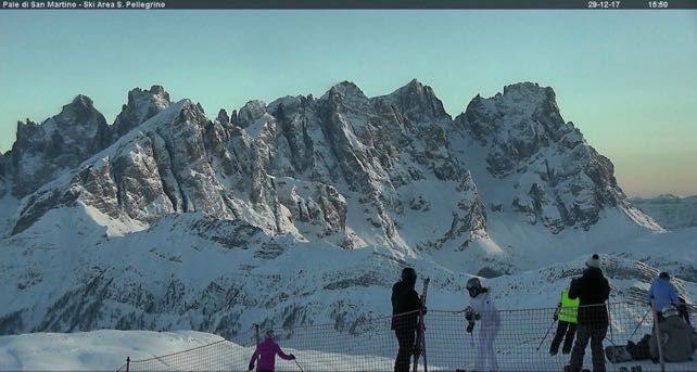
Finally, here’s the stunning Pale di San Martino massif near Moena in the Italian Dolomites. On the Passo San Pellegrino, where this shot was taken, the snow is currently 40-110cm deep. The area won’t see much new snow over the next four days, but it will miss out on the rain, too.
This is the last snow report for 2017. I’ll be back on January 2. So have a brilliant New Year’s Eve in the meantime – and don’t forget to raise a glass to the Snow Gods of the Alps. Despite the recent pesky thaws they’ve done us proud so far this winter.


Add Comment