


Another week of low temperatures and fresh snow awaits…
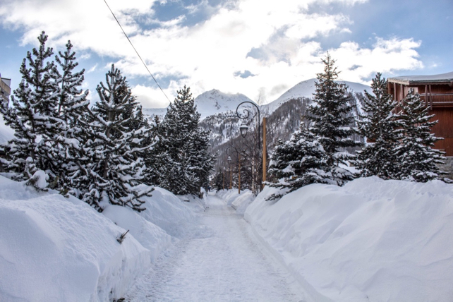
The latest weather front washed across the Alps yesterday and this morning, dumping more than half a metre of fresh snow in parts of the western Alps. According to MeteoFrance’s avalanche service, parts of the Chamonix valley have had 55cm of snow since Saturday night, and in Val d’Isere there’s been about 30cm.
Meanwhile, further east, in the Austrian Tirol, St Anton has had 5-20cm of fresh snow, depending on altitude. Settled snow depths range from 95cm to a whopping 495cm on the Valluga at the top of the ski area.
Temperatures jumped briefly during the weekend, with the freezing point above 2000m on Saturday afternoon: but they dropped sharply as the snow fell, and the white stuff was settling in even the lowest resorts this morning.
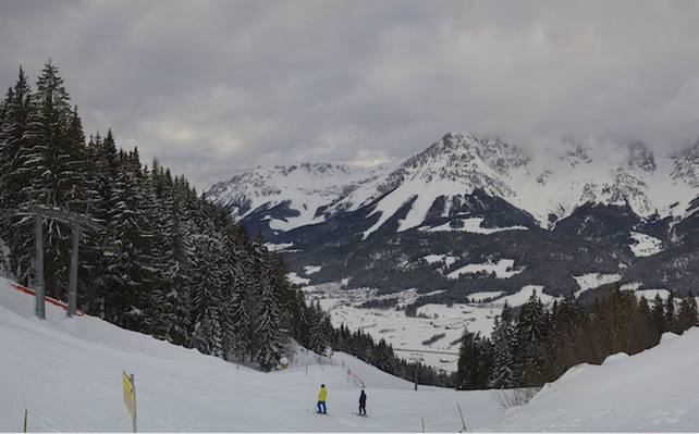
Here’s how it looked above Going in the Tirol’s Skiwelt earlier today. The snow here is 170-250cm deep – impressive for a ski area that tops out at around 1900m. It’s a good indication of how exceptionally snowy January has been in Austria.
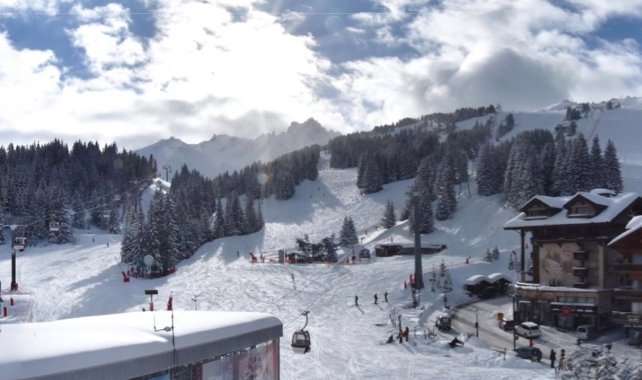
This was the scene at La Croisette in Courchevel this afternoon, where the cover is 125-173cm deep.
In parts of the French Alps, the avalanche risk rose to 4/5 yesterday, with the new snow bonding poorly with existing cover. It’s now settled back to 3/5 – although that still means great caution is needed, off-piste.
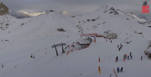
The southern side of the Alps also saw some snow yesterday – above Canazei in the Dolomites for example, there was 5-30cm of fresh snow, which will have freshened up the pistes nicely. However, in contrast with their Austrian neighbours to the north, the Dolomite resorts have had a fairly dry winter so far. The pistes are in great shape (this is the home of some of the world’s best snow-making systems): but the cover is still thin off-piste.
Here’s how it look at on the Col dei Rossi this afternoon.
Tomorrow should see a prolonged spell of sunshine in the Alps – and fabulous skiing. But after that we’re expecting three separate weather fronts to move quickly through the region, on Wednesday, Thursday and Friday/Saturday.
The north-western Alps will see the heaviest snow: but on Friday it looks as though one of the storms will roll along the southern side of the Alps too, bringing significant falls to the Italian Alps. It’s a weather pattern we’ve not seen much of this winter.
According to some mid-range forecasts, the weather will stay cold and snowy until the early next week. Next Tuesday (February 5) there’s a chance warmer air will push in from the Atlantic, but it’s too soon to be sure of that yet.
Meanwhile, in the Pyrenees…
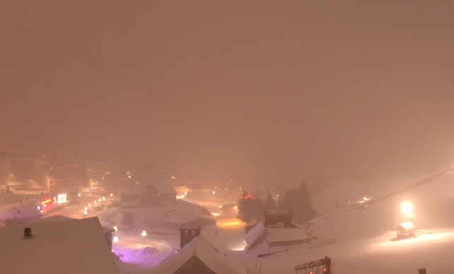
It’s been snowing hard all day across the French Pyrenees and in Andorra. More of the same is expected on Wednesday.
Here’s how it’s looking at La Mongie this evening. The resort has been cut off from the outside world today because of the avalanche risk.


Add Comment