


So hands up who wishes they were in the Alps this week?
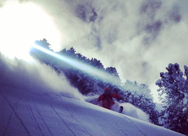
For some of this…
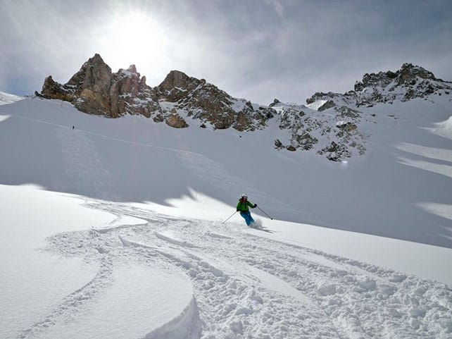
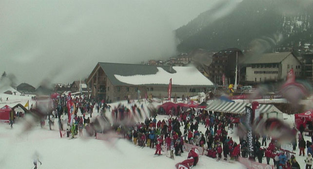
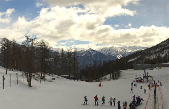
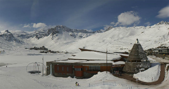
And some of this…
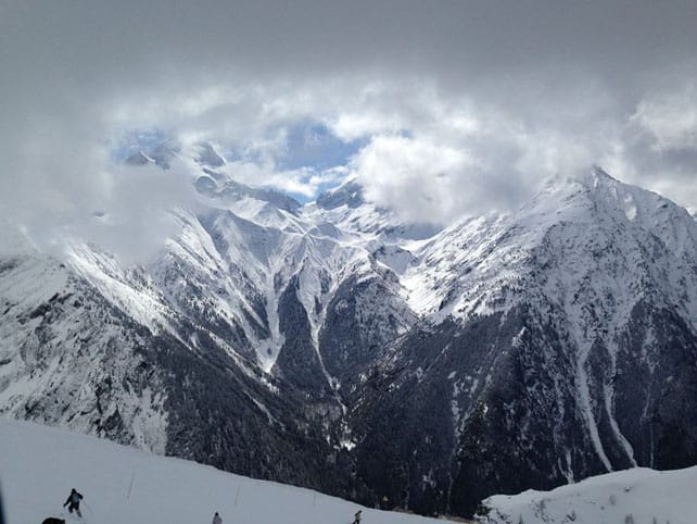
And some of this…
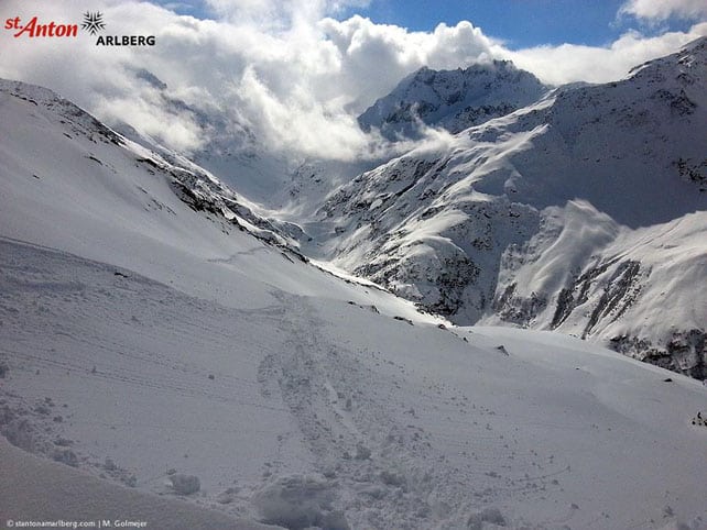
And some of this…
Oh yes, and some of this…
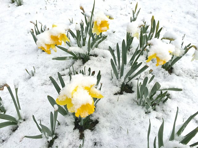
Poor old daffodils. Lucky skiers.
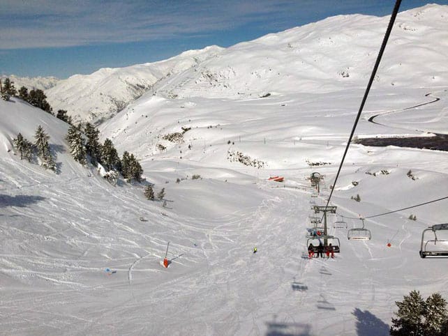
As you’ll have probably seen from Monday’s Snow Report, there was a big dump in the northern Alps last weekend, with many resorts getting half a metre of snow. Temperatures were low for late March too. So as soon as the sun came out, the powder party began.
Needless to say, the pistes have been in superb condition too, although it’s worth saying that on south-facing slopes the strong spring sunshine quickly got to work on the snow. This is particularly noticeable off-piste. As the Tirol’s avalanche service put it earlier today: “The snowpack surface on sunny slopes is moistened up to high altitudes, creating widespread melt-freeze crusts.” However, it adds that “Powder is still evident on wind-protected, shady, steep slopes above the treeline.”
Today, there’s some snow falling in the south-western corner of the Alps, but elsewhere the skies are clear, and at least five days of sunny weather are predicted in the Alpine forecast. A significant thaw is on the cards this weekend, too – with the freezing point likely to hover between 2600m and 2900m across the region. So the rule of thumb remains unchanged: aim high – and check out our guide to the best resorts for spring skiing for advice on where to go.
There’s no sign of another dump of snow in the immediate future. However several mid-range forecasts are suggesting a breakdown in the weather at the end of next week: which could mean fresh snow in time for the Easter holidays. Fingers crossed Mother Nature delivers!
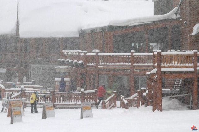
Here’s a quick sample of the webcams today, starting with Montgenevre in the south-west, where rather wet snow is falling at resort level this morning. Here the cover is currently 140-190cm deep, depending on altitude.
Meanwhile, pictured below is the scene in Serre Chevalier this morning, where the snow is 45-235cm deep, depending on altitude.
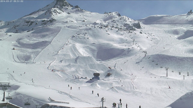
Pictured, below, is high-altitude Tignes, where the snow is 100-200cm deep, depending on altitude.
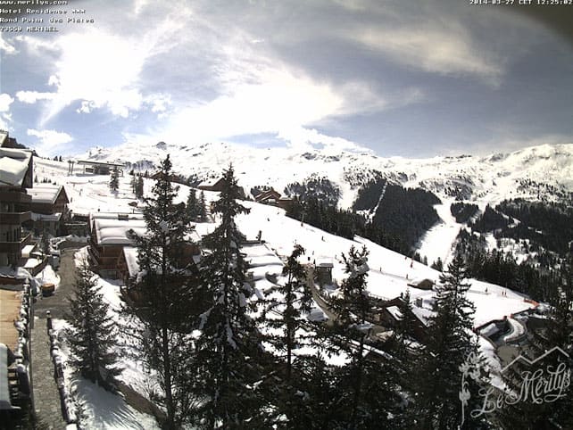
Below is Meribel, where the snow is 80-145cm deep, on the pistes.
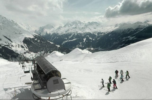
Pictured below is Verbier, where the cover on-piste is 30-183cm deep.
Below is Ischgl, close to the border with Switzerland.
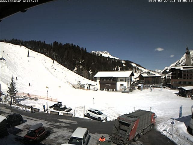
Pictured, below is Lech, in the Arlberg, where the snow is 85-110cm deep.
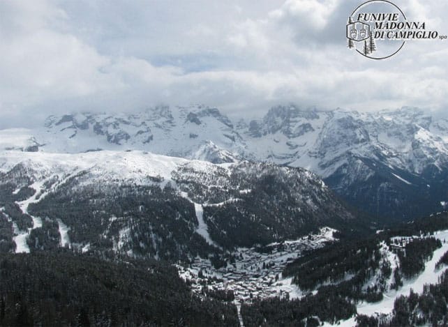
And, finally, below is Madonna di Campiglio in the Brenta Dolomites, where the snow is 160-265cm deep.
Fresh snow in the Pyrenees
There’s been fresh snow in the Pyrenees: 20cm overnight in Baqueira, in fact. As a result, the snowpack is now 145-325cm deep on-piste, depending on altitude.
Here’s how the slopes were looking this morning.
Heavy snow to come in the western US
The forecast is looking promising in the resorts of the American west. California has already started notching up snow, with little Kirkwood – one of my favourite backwoods ski areas – reporting 40cm by close of play yesterday. According to local snow forecaster Bryan Allegretto the Tahoe resorts could see more heavy snow on Saturday and Monday, too.
Here’s video showing how Kirwood was skiing yesterday.
The snow is going to push inland to the Rockies too. Utah is looking forward to three storms in quick succession. So too Colorado.
There’s been snow in the Canadian Rockies too: pictured below is Lake Louise yesterday – which claims 23cm in the last 48hrs. Here the settled snowpack is 199cm deep, mid-mountain.
| France: see our main report. There’s been some superb skiing in France this week, with fresh snow and empty slopes the order of the day. However, the sun has affected the cover on south-facing slopes these last couple of days and now a thaw is on the cards. Aim high if you’re after powdery, wintery snow: or switch back to the spring-skiing tactics everyone was using last week. Currently, Tignes reports 100-166cm of settled snow on its pistes, and Val Thorens 140-250cm. | |
| Switzerland: as in France, the fresh snow transformed conditions – especially in the eastern half of the country, where half a metre or more fell last weekend. However, it is now warming up. Currently, in Saas-Fee the cover is 95-355cm deep, on piste. Meanwhile, little Andermatt reports cover 92-400cm deep on its slopes, and Zermatt 15-210cm. | |
| Austria: Austria did well from the weekend snow, but as in the western Alps, temperatures are rising and spring conditions are returning to the slopes. Currently Nassfeld in Carinthia reports 35-320cm of settled snow, on-piste, St Anton 40-165cm, and Obergurgl 51-137cm. | |
| Italy: Italian resorts close to the central ridge of the Alps saw snow at the weekend, and those in the south-western corner of the region have seen snow in the last 48hrs. Currently, in the Aosta Valley, Cervinia has 105-320cm of settled snow on its pistes, and Canazei in the Dolomites 65-220cm. | |
| Andorra: the Pyrenees have just had fresh snow too. Currently, Soldeu in the Grandvalira ski area reports 90-230cm of settled snow on its pistes. | |
| Western USA: the next few days are looking very good for powder hounds in the American west, with several separate weather fronts lining up to deliver the white stuff. Currently, Jackson Hole in Wyoming, reports a settled mid-mountain snowpack of 266cm. In Colorado, Breckenridge in Colorado has reported its fifth snowiest season ever, and a mid-mountain snowpack of 231cm. In Utah, The Canyons reports a settled snowpack of 160cm. | |
| Western Canada: Whistler reports 32cm of fresh snow in the last couple of days, and a mid-mountain snowpack 268cm deep. In Fernie, there’s been 90cm of snow in the last week, and the mid-mountain cover is 363cm deep, on-piste. In Revelstoke the mid-mountain cover currently measures 259cm. |


Hands up who wishes they were in the Alps this week…
https://t.co/qMbdQxm7l8