


Snow Report 39 – Monday 24 March 2025
In today’s report we catch up on conditions across Europe, North America and Asia with sunshine & fresh snow in the Alps and powder in the United States.
Where’s the snow going to land next? We’ve scoured the internet to give you the best recommendations.
Now on with the snow!
Snow Report
Our ‘on the snow’ reporters have been enjoying great conditions.
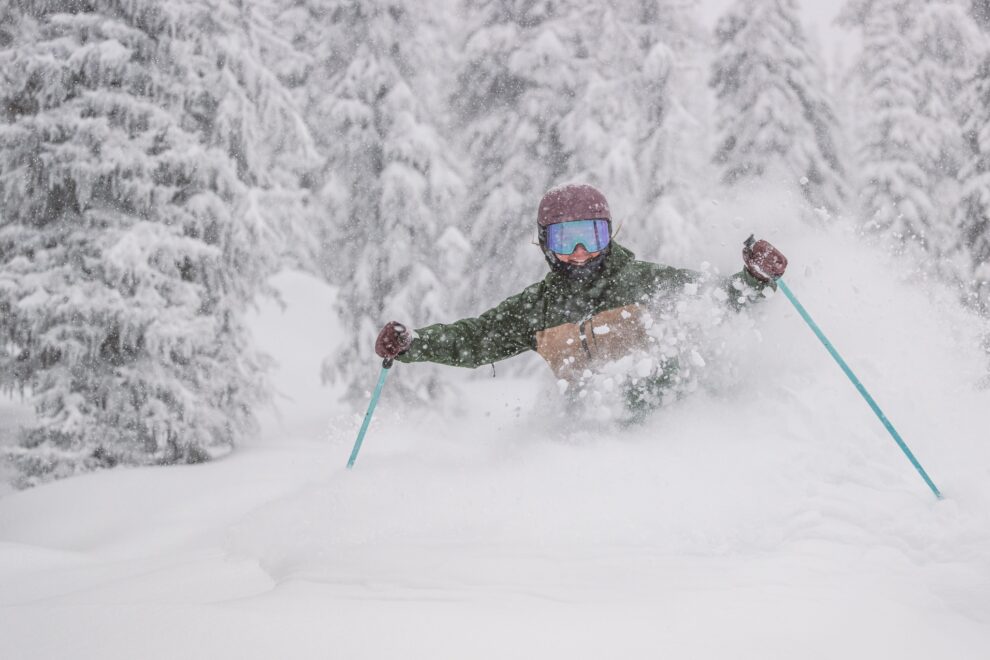
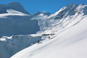
Les Crosets Snow Report, Switzerland
Dave Burrows sent us this report from Les Crosets, Switzerland where he enjoyed some unexpected powder on piste.
Click here to book lessons with Dave and his team
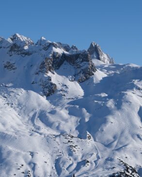
Dolomites Snow Report, Italy
Guide Francesco Tremolada enjoyed the best conditions of the Winter in the Italian Dolomites.
View this post on Instagram
And it was bluebird powder in Lech, Austria last week.
Lech Snow Report, Austria
View this post on Instagram
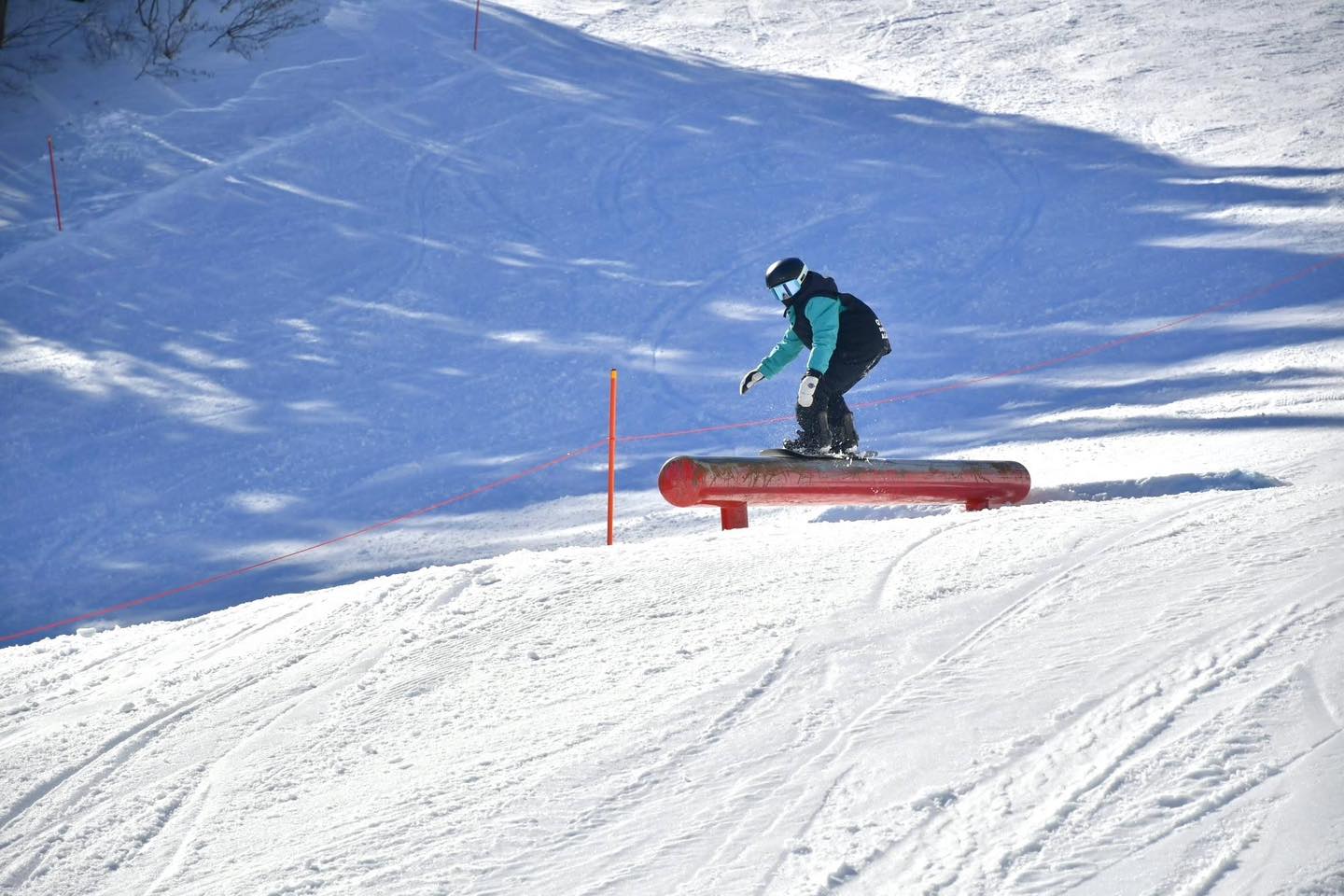
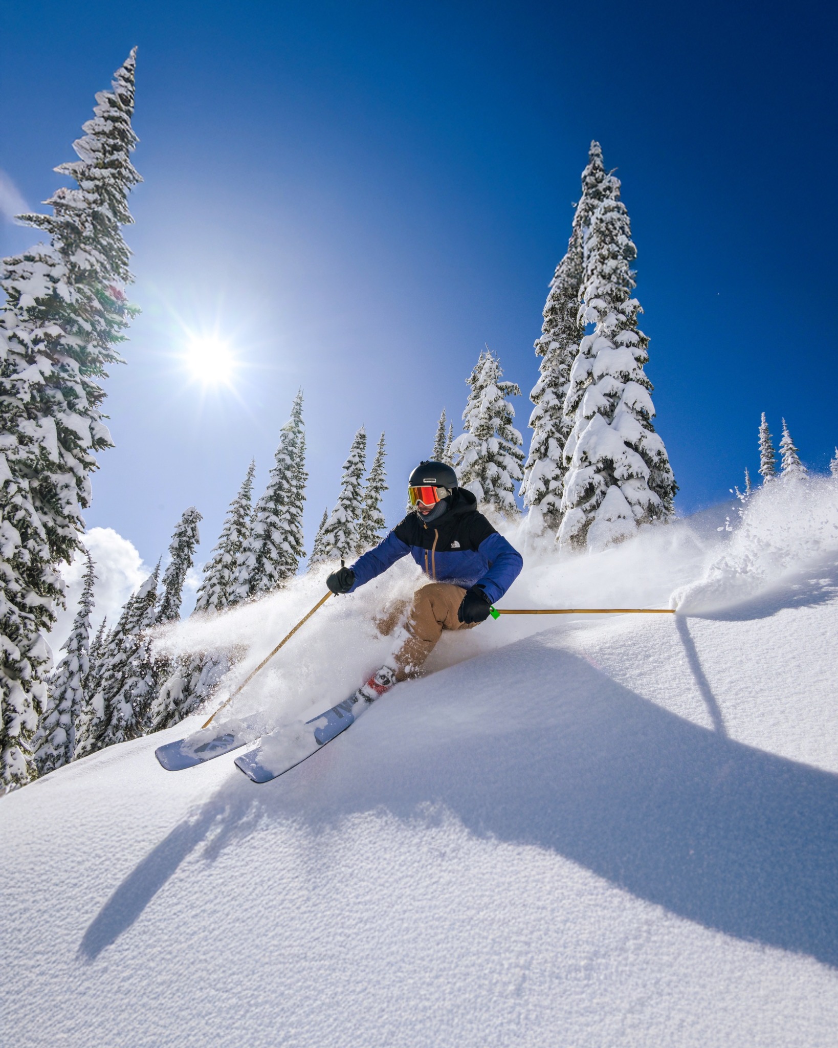
Mt Baker Snow Report, USA
Ski Patroller Urssulaa made the most of the 2.8m (113″) of snow which has fallen this March at Mt Baker, Washington, USA.
View this post on Instagram
World Snow Forecast For The Next 3-4 Days
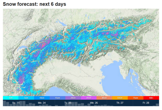
After great snowfall up high last week the mercury continues to roam up and down the scale across the Austrian, French, Italian, and Swiss resorts with the freezing level peaking at 2,300m over the next 3-4 days bringing a mix of sunshine and 5-10cm of snowfall above that level, and rain below it.
Andorra and the French & Spanish Pyrenees will see cooler temperatures and 15-20 cm of new snowfall above 1,800m.

It will be warmer in Central and Eastern Europe for the next 3-4 days with rain to 2,800m across much of the region and freeze-thaw conditions top to bottom.
Further East the Georgian and Turkish resorts will continue to see below freezing temperatures under sunny skies for perfect Spring skiing.
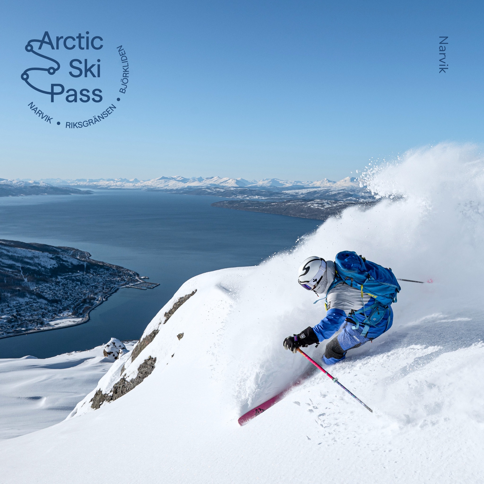
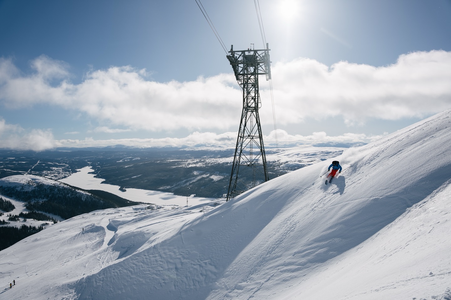
Temperatures remain below freezing in the Nordic Countries of Finland, Norway and Sweden with a combination of sunshine and 5-10cm of snowfall for the next 3-4 days. Narvik and Stranda, Norway could see 30-35cm of new snow; Are, Sweden is expecting 15-20cm.
The great conditions continue at the Canadian resorts of Alberta and British Columbia with below freezing temperatures and 5-10cm of new snow forecast. Revelstoke, BC could see 10-15cm; and Whistler Blackcomb, BC is forecast to receive 30-35cm up high but rain below mid-mountain.
Temperatures have dropped on the East Coast of Canada with 5-15cm of new snow forecast across the region.
It will be a warm & sunny start to the week for the western US resorts with temperatures climbing to double digits to just below the highest summits.
It will be a similar situation at the West Coast resorts of California, Oregon and Washington with rainfall possible to 3,000m. Alyeska, Alaska will see sunshine and below freezing temperatures.
Temperatures have dropped on the East Coast of the United States with 5-10cm of new snow forecast across the region. Jay Peak, Vermont could see 15-20cm.
Spring has sprung on Japan’s main island of Honshu bringing sunshine, freeze thaw conditions and light rain to all levels.
It’s cooler further North on the island of Hokkaido with 10-15cm forecast above mid-mountain but rain at village level.
Where To Ski
There will be good Spring skiing across the Alps but head to north facing slopes above 2,300m for the best conditions. Preferably with gondola or covered chair access from the village to escape the rain.
The resorts in Italy’s Aosta Valley and further south at Prato Nevoso received 30-40cm of new snow over the weekend and there will be great skiing on offer the first half of this week.
Andorra and the French & Spanish Pyrenees will see great powder conditions to back up the snow which fell over the weekend.
Narvik and Stranda, Norway & Are, Sweden are the go to destinations up North.


Add Comment