


Snow Report – Thursday 20 March 2025
In today’s report we catch up on conditions across Europe, North America and Asia with sunshine & fresh snow in the Alps and Eastern Europe, and powder in the United States.
Where’s the snow going to land next? We’ve scoured the internet to give you the best recommendations.
Now on with the snow!
Snow Report
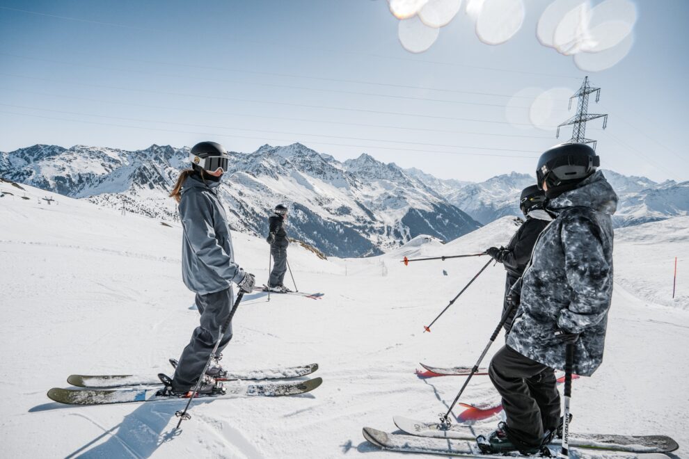
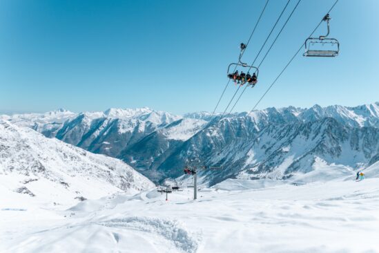
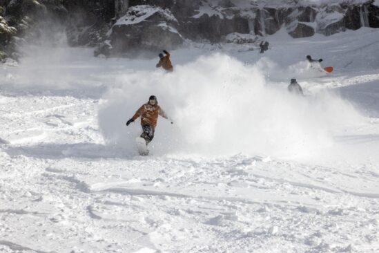
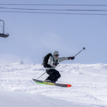
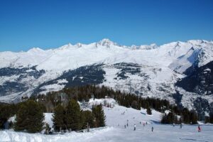
It’s been a great start to the week in Europe
La Grave Snow Report, France
Epic conditions above the clouds at La Grave, France.
View this post on Instagram
Dolomites Snow Report, Italy
Classic couloirs in primo conditions in the Italian Dolomites
View this post on Instagram
HeliSki Albania Snow Report, Albania
Perfect conditions in the Valbona Valley, Albania earlier this week
View this post on Instagram
Tamarack Resort Snow Report, USA
Ski Legend Glen Plake got the goods at Tamarack Resort, Idaho on his ‘Down Home Tour’.
View this post on Instagram
Snowbird Snow Report, USA
‘Miracle March’ continues at Snowbird, Utah and Luke was first in line
View this post on Instagram
World Snow Forecast For The Next 3-4 Days
The mercury will be up and down the thermometer across the Austrian, French, Italian, and Swiss resorts the next 3-4 days with the freezing level peaking at 2,800m on Friday before dropping to around 2,000m over the weekend.
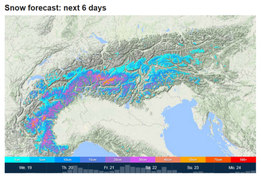
A new front will move in from Saturday morning with light rain, freeze thaw conditions, and temperatures reaching +10C below 2,000m and 5-10cm of new snow above that level.
Nassfeld, Austria, Isola 2000, France and Madesimo, Italy could all see 15-20cm. The Aosta Valley, Italy could see heavy snowfall above 1,700m with the small but perfectly formed Cogne expecting 30-35cm.
It will be a similar situation in Andorra and the French & Spanish Pyrenees with heavy rain to 2,500m today turning to snow over the weekend. Grandvalira is expecting 20-25cm; Cauterets, France 30-35cm; and Formigal, Spain could see 55-60cm.
It will be dry, sunny, and warm in Central and Eastern Europe for the next three days with a storm front moving in on Sunday bringing 5-15cm of new snow above 2,000m across much of the region but rain below that level.
Further East the Georgian and Turkish resorts will see colder temperatures with 10-15cm of snow at all levels. Gudauri and Tetnuldi, Georgia are expecting 25-30cm of new snow with Ergan, Turkiye forecast to receive 30-35cm on top of the 25cm which fell yesterday.
Temperatures remain below freezing in the Nordic Countries of Finland, Norway and Sweden with sunshine for the next 3-4 days. Narvik, Norway could see 10-15cm of new snow above mid-mountain.
The great conditions continue at the Alberta and British Columbia resorts of Canada with temperatures well below freezing and 5-10cm of new snow forecast. Big White, BC could see 15-20cm; Revelstoke, BC 25-30cm; and Whistler Blackcomb, BC is forecast to receive 45-50cm up high but rain at village level.
Temperatures will drop dramatically on the East Coast of Canada with freeze thaw conditions and rain today turning to light snowfall and minus double digit temperatures by Sunday evening.
Most of the western US resorts will see a mix of sunshine and snow showers bringing 10-15cm of new snow through Monday. Jackson Hole, Wyoming could see 20-25cm of new snow. Schweitzer Mountain, Idaho could see 35-40cm.
After over 1m of snowfall last week the West Coast resorts of California will see a break in the weather with clear skies and sunshine.
Oregon and Washington will see 40-45cm of new snow through Monday, with 60-65cm forecast for Timberline, Oregon and 80-85cm for Mount Baker, Washington.
Temperatures will drop dramatically on the East Coast of the United States with freeze thaw conditions and rain today turning to light snowfall and minus double digit temperatures by Sunday evening. Jay Peak, Vermont could see 15-20cm.
The freezing level has risen on Japan’s main island of Honshu bringing sunshine and freeze thaw conditions to all levels.
It’s still snowing up North on the island of Hokkaido with temperatures remaining below freezing at all levels and 15-20cm forecast. Kiroro could see 25-30cm and the snow magnet Asahidake forecast to receive 60-65cm.
Where To Ski
There will be good Spring skiing across the Alps but look for north facing slopes above 2,300m for the best conditions. Preferably with gondola access from the village to escape the rain.
The Aosta Valley could be a good base for the coming days.
Head to Gudauri and Tetnuldi, Georgia; and Erciyes and Ergan, Turkiye for powder.
Narvik, Norway is the go to up North with powder up high.
Have the time to head further afield?
Then make your way West to the Rocky Mountain resorts of Idaho and Wyoming and the West coast resorts of Oregon and Washington.
Or head East to Hokkaido, Japan where cold smoke powder is still on the menu.


Add Comment