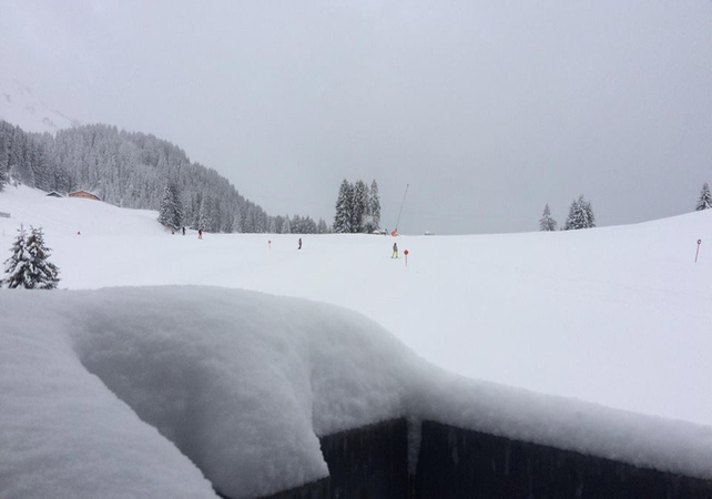
The unusual weather continues. Austria and parts of eastern Switzerland have had snow, on and off, all week – while in the west and south the skies have been clear. Friday, Saturday and Sunday will all see similar conditions.
The cause of this sharp contrast is an area of high pressure that’s firmly lodged over the UK. It’s keeping the western Alps mild and dry, but allowing much colder and more humid air to sweep down from the north over eastern and central Europe.
Here’s how it looked in St Anton this evening – where there was 10-55cm of new snow on the slopes first thing today. Up on the Valluga, the cover is now an impressive 340cm deep, and 250cm deep at mid-mountain level.
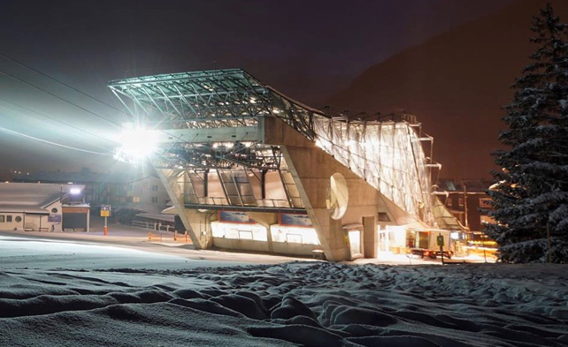
Temperatures have been low too. It was -21C on the Valluga this morning.
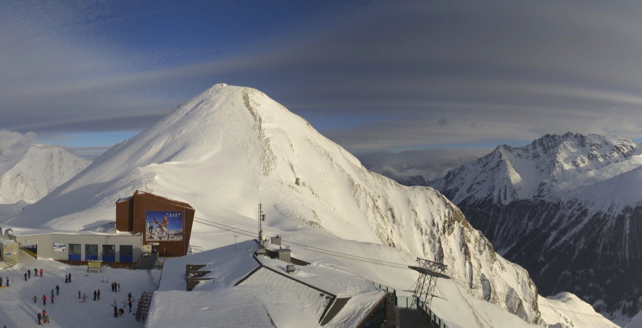
Pictured below were the mountains between Ischgl and Samnaun earlier today. Ischgl is a little further south than St Anton, and hasn’t received quite the same amount of snow. But even so, the mid-mountain cover is now 140cm deep.
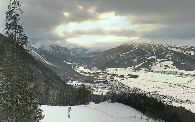
And this was the scene in the Tiroler Zugspitz Arena earlier today. Even on the valley runs the snow here is 70cm deep – and 260cm deep on the Zugspitz.
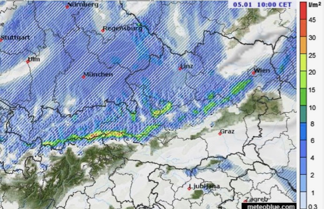
After heavy snow in the first half of the week, falls were much lighter and more sparsely scattered today. But another weather front is due in tonight, with more to come on Saturday – as you can see from this Meteoblue weather map.
Skies will eventually clear on Sunday. After that, there’s hope that more widespread snowfall will arrive on Tuesday or Wednesday. The lower resorts of France will be especially pleased to see it, if it comes. They’ve got a lot of catching up to do.
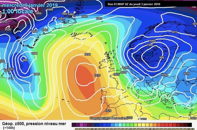
Here’s the ECMWF’s latest mid-range forecast for next Wednesday.


Add Comment