


Snow Report – Monday 14 April 2025
Easter Snow Bunnies
In today’s update, we take a look at conditions across Europe, North America, and Asia — with sunshine lighting up the Alps and fresh snow falling in Georgia, Norway, and the U.S.
Wondering where the next flakes will land? We’ve done the digging to bring you the best forecasts and recommendations.
Let’s get into it!
Snow Report
Our ‘on the snow’ reporters have been enjoying great Spring conditions the first week of the Easter Holidays.
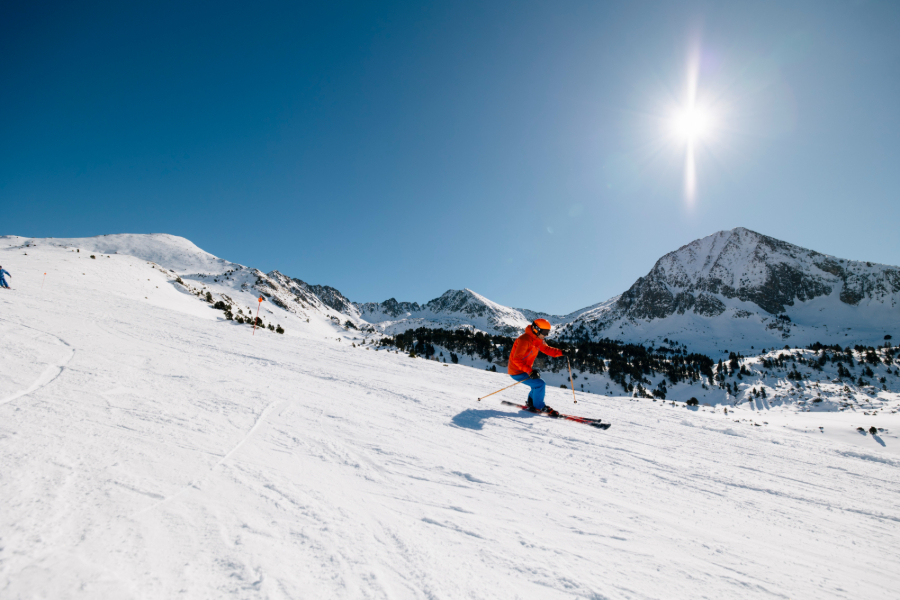
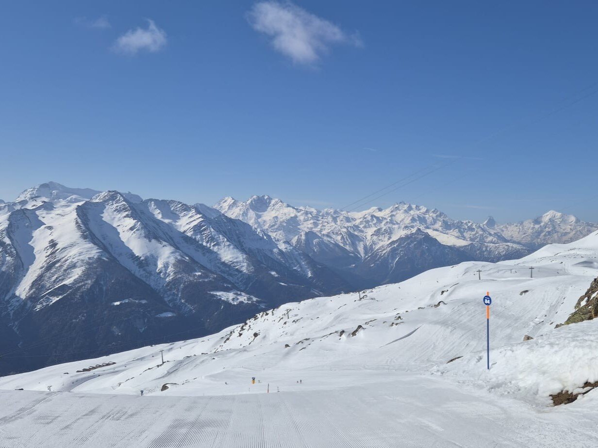
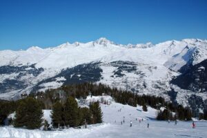
Passo Tonale Snow Report, Italy
It was an excellent end to the first week of the Easter Holidays at Passo Tonale in the Trentino region of Italy. Despite having no snowfall for over two weeks the piste bashing crew did an unbelievable job preparing the pistes each evening, with only a few patches showing through.
The conditions were firm in the morning turning to soft chopped up pistes and bumps in the afternoon. In between there was a layer of ‘velvet’ on the groomed surfaces which offered up smooth GS turns top to bottom.
Post-lunch we headed up the Paradiso and Presena lifts to the top of Presena Glacier at 3,000m where we enjoyed dry, chalky snow on piste and spectacular views.
Here’s Dani skiing the Cadi Carosello black run just before lunch last Friday.
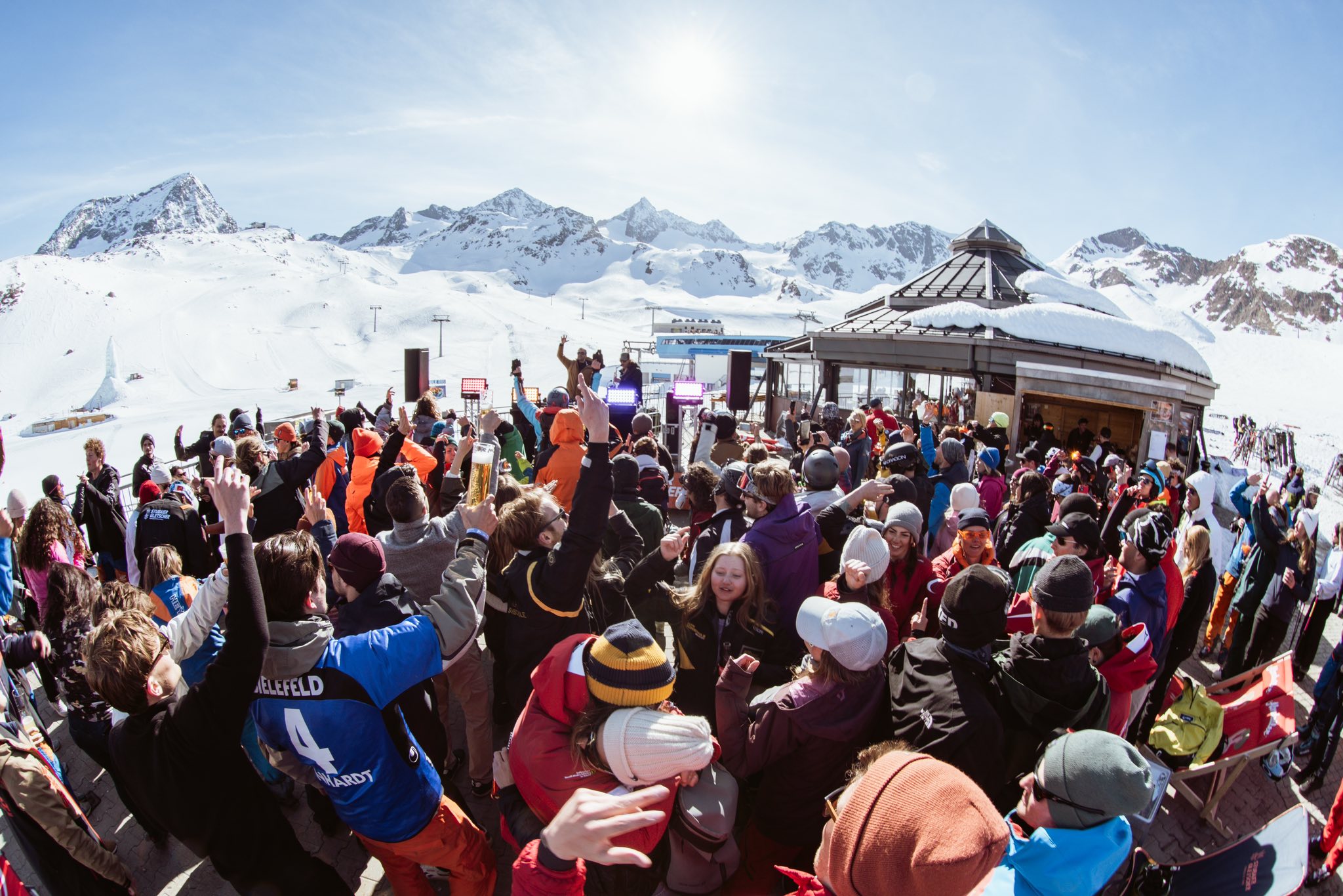
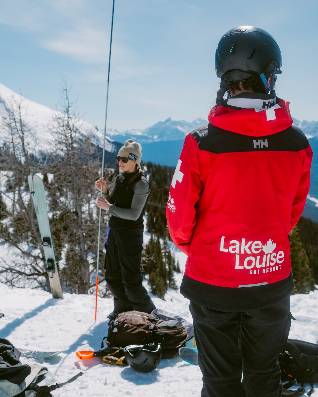
Les Crosets Snow Report, Switzerland
Dave Burrows sent us this report from Les Crosets, Switzerland to mark the end of his 7-month season.
Click here to book lessons with Dave and his team.
Gudauri Snow Report, Georgia
It’s still Winter in the Caucasus mountains of Georgia.
View this post on Instagram
Alyeska Snow Report, Alaska, USA
Powder, pooches, and painting up north in Alaska.
View this post on Instagram
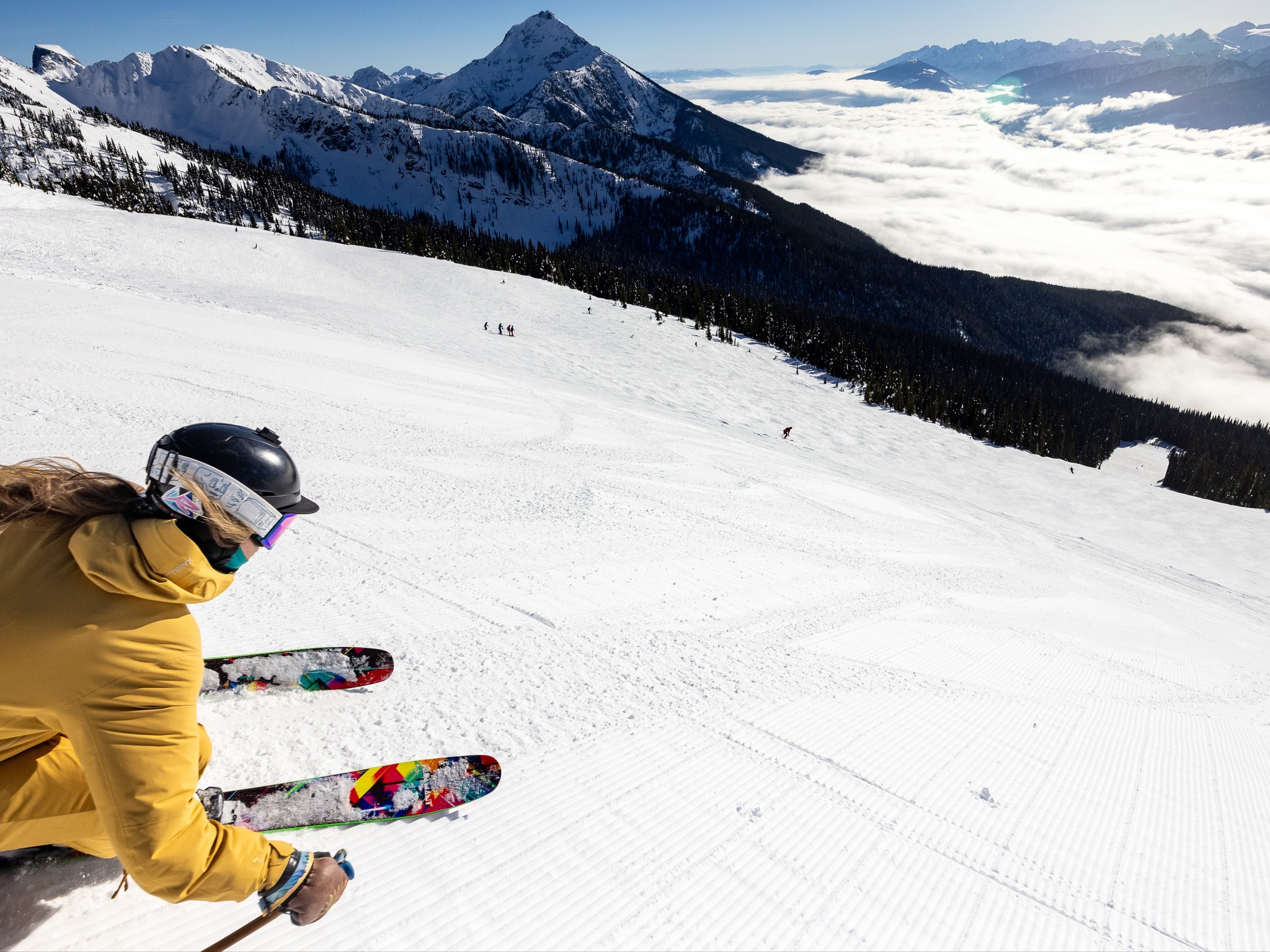
World Snow Forecast For The Next 3-4 Days
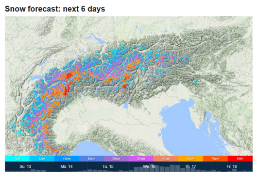
There will be a change in the weather across Austria, France, Italy and Switzerland on what will be for many resorts the last week of the ski season.
After almost three weeks of sunshine a storm system will move in from today with the freezing level fluctuating between 2,300m and 2,500m bringing snowfall above that level and the chance of rain below.
The Austrian resorts will see cloudy skies and light snowfall of 5-10cm.
The French, Italian and Swiss resorts are forecast to receive 15-25cm with Val D’Isere, France expecting 40-45cm.

In Italy the Aosta Valley resorts are expecting 45-50cm, the Monterosa resorts could see 80-85cm, and San Domenico is forecast to receive over 1m!.
The Swiss resorts of Saas Fee & Zermatt could see 80-85cm through Thursday, with the Aletsch Arena expecting over 1m!
It will be a similar situation in Andorra and the French & Spanish Pyrenees with a lower freezing level but a similar pattern of precipitation. Baqueira Beret, Spain could see 40-45cm of new snow.
Central and Eastern Europe has warmed up bringing rainfall top to bottom across the resorts still operating the first half of this week.
It will be a snowy start to the week at the Georgian and Turkish resorts with 10-15cm of new snow forecast. Gudauri, Georgia is expecting 20-25cm on top of the 50cm which fell over the weekend.
Temperatures will hover around freezing in the Nordic Countries of Finland, Norway and Sweden with freeze thaw conditions and 5-10cm of snowfall on the highest peaks. Narvik, Norway and Riksgransen, Sweden are expecting 15-20cm of new snow.
Further West, Akureyri in Northern Iceland is forecast to receive 50-55cm.
The Canadian resorts of Alberta and British Columbia will see temperatures rise above freezing with 5-10cm of new snow up high. Castle Mountain, Alberta could see 25-30cm.
The temperature will hover around freezing on the East Coast of Canada with 5-10cm of new snow forecast at Tremblant, Quebec.
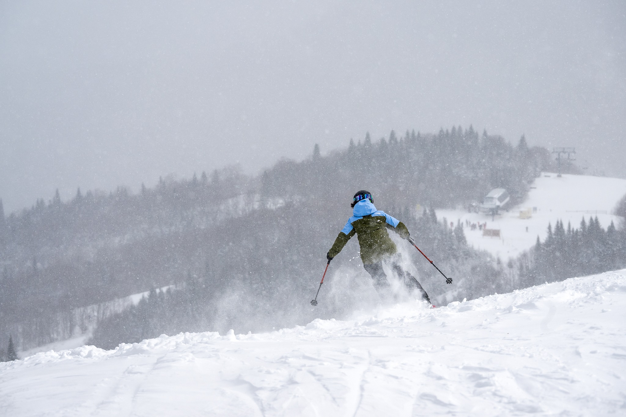
The warm spell continues at the Western US resorts bringing sunshine; freeze thaw conditions; and the chance of rain at village level.
The West Coast resorts of California, Oregon, and Washington will see clear skies, sunshine, and above freezing temperatures with 5-10cm of snowfall on Wednesday evening.
Alyeska, Alaska is forecast to receive 20-25cm on top of the 60cm which fell over the weekend.
The East Coast of the United States will see temperatures hovering around freezing across most of the region with 5-10cm of new snow forecast on the highest peaks and rain at village level from Tuesday evening. Jay Peak, Vermont could see 20-25cm.
The snow returns to Japan’s main island of Honshu on Tuesday with 55-60cm forecast above mid-mountain at Happo One.
It will be colder up North on the island of Hokkaido with 10-15cm of snowfall through Thursday. Kiroro could see 30-35cm.
Where To Ski
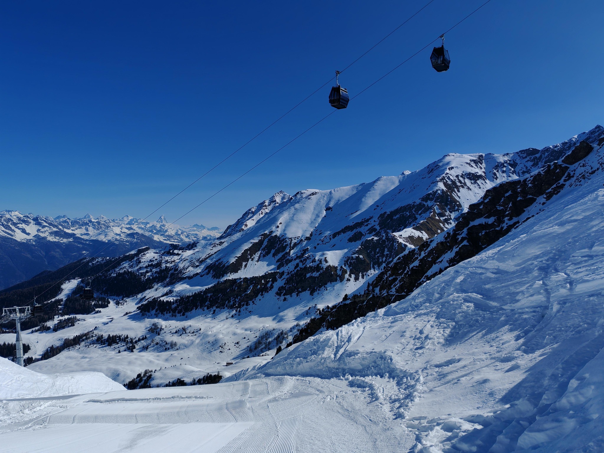
There will be very good Spring skiing across the Alps but head to north facing slopes above 2,500m for the best conditions.
Val D’Isere, France; the Aosta Valley, Monterosa resorts and San Domenico, Italy; and Aletsch Arena, Saas Fee, and Zermatt, Switzerland are your best bets for Western European powder.
Gudauri, Georgia is still the best choice out East.
Narvik, Norway has been joined by Akureyri, Iceland and Riksgransen, Sweden as the go to destinations up North.
Further afield a Spring trip to Alyeska, Alaska, USA is still worth the travel time.


Add Comment