


Snow Report – Thursday 27 March 2025
Awesome Alps
In today’s report we catch up on conditions across Europe, North America and Asia with sunshine & fresh snow in the Alps and powder in the United States.
Where’s the snow going to land next? We’ve scoured the internet to give you the best recommendations.
Now on with the snow!
Snow Report
Our ‘on the snow’ reporters have been enjoying great conditions.
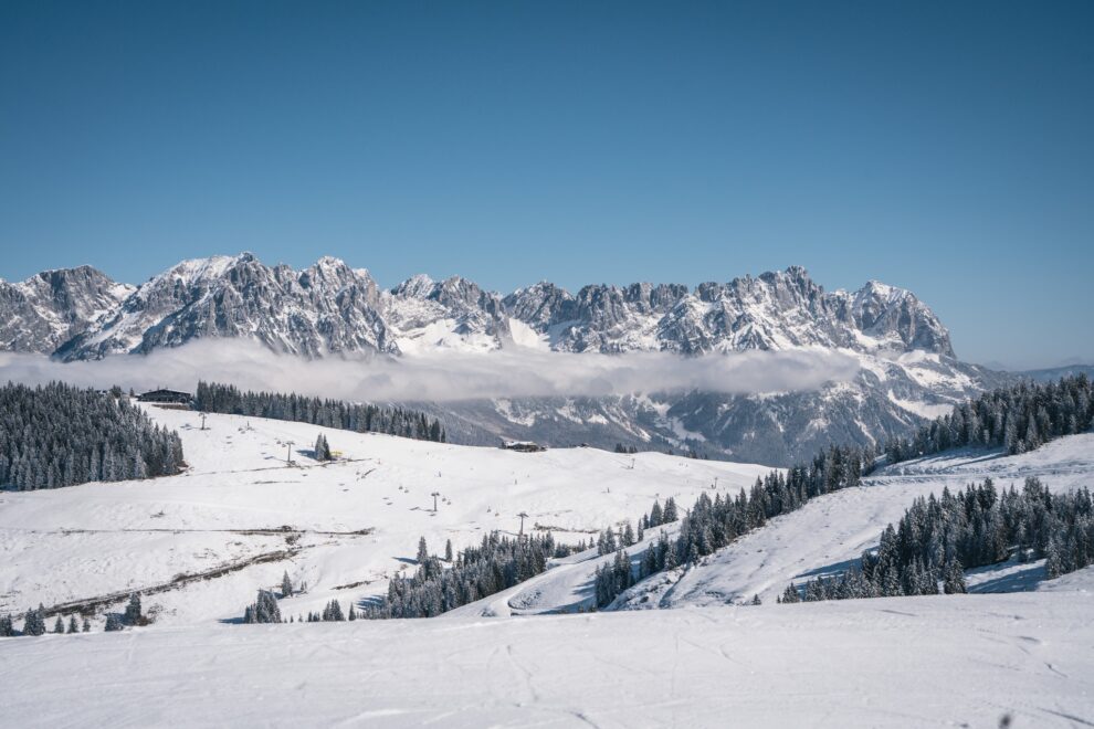
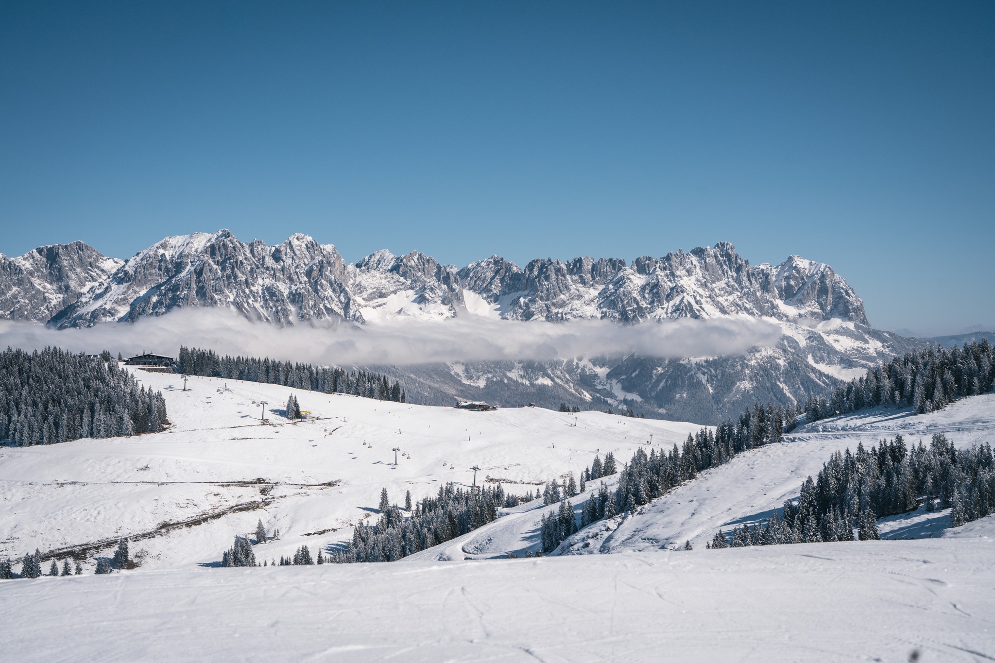
Val D’Isere & Tignes Snow Report, France
Ken Smith has lived and worked in Val d’Isere for 30 seasons and is the owner of Progression Ski and Snowboard School and Alpine Exclusive accommodation agency.
St Anton Snow Report, Austria
Patrick Baetz had ‘smiles for miles’ above St Anton, Austria
View this post on Instagram
Prato Nevoso Snow Report, Italy
Prato Nevoso, on the way to Italy’s Ligurian coastline, continues to have an excellent season with +30cm of new snow the first half of the week
View this post on Instagram
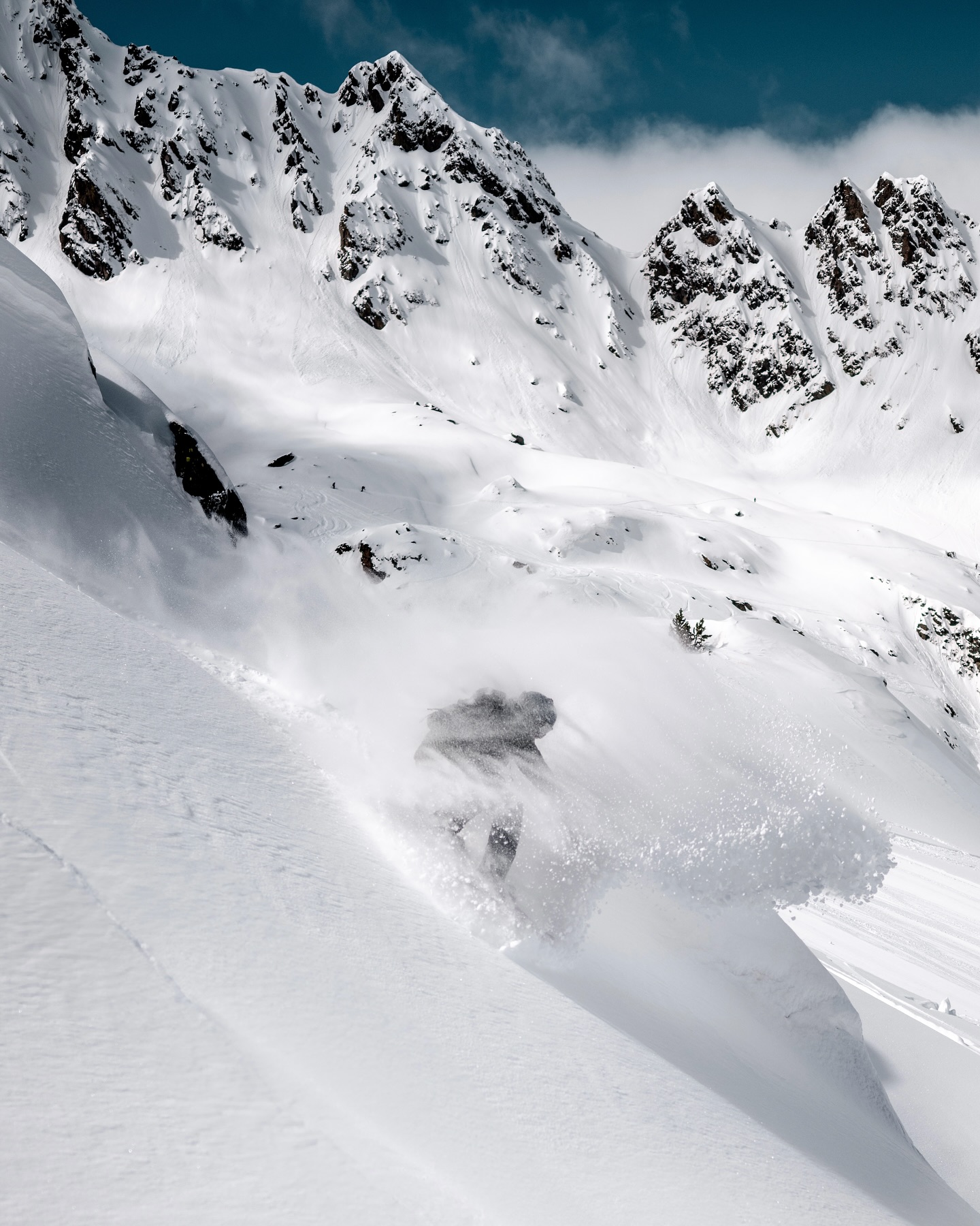
Sella Nevea Snow Report, Italy
Further east it was epic conditions at Sella Nevea, Italy which lies on the border with Bovec Kanin, Slovenia
View this post on Instagram
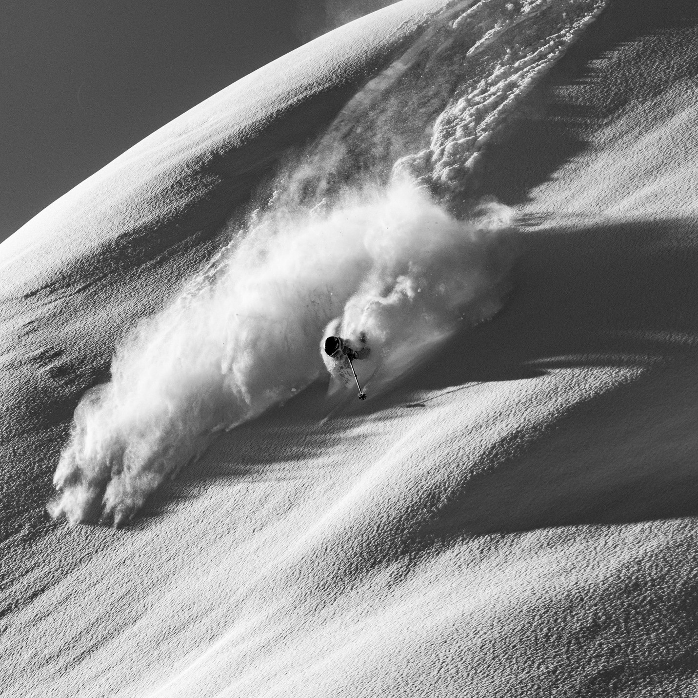
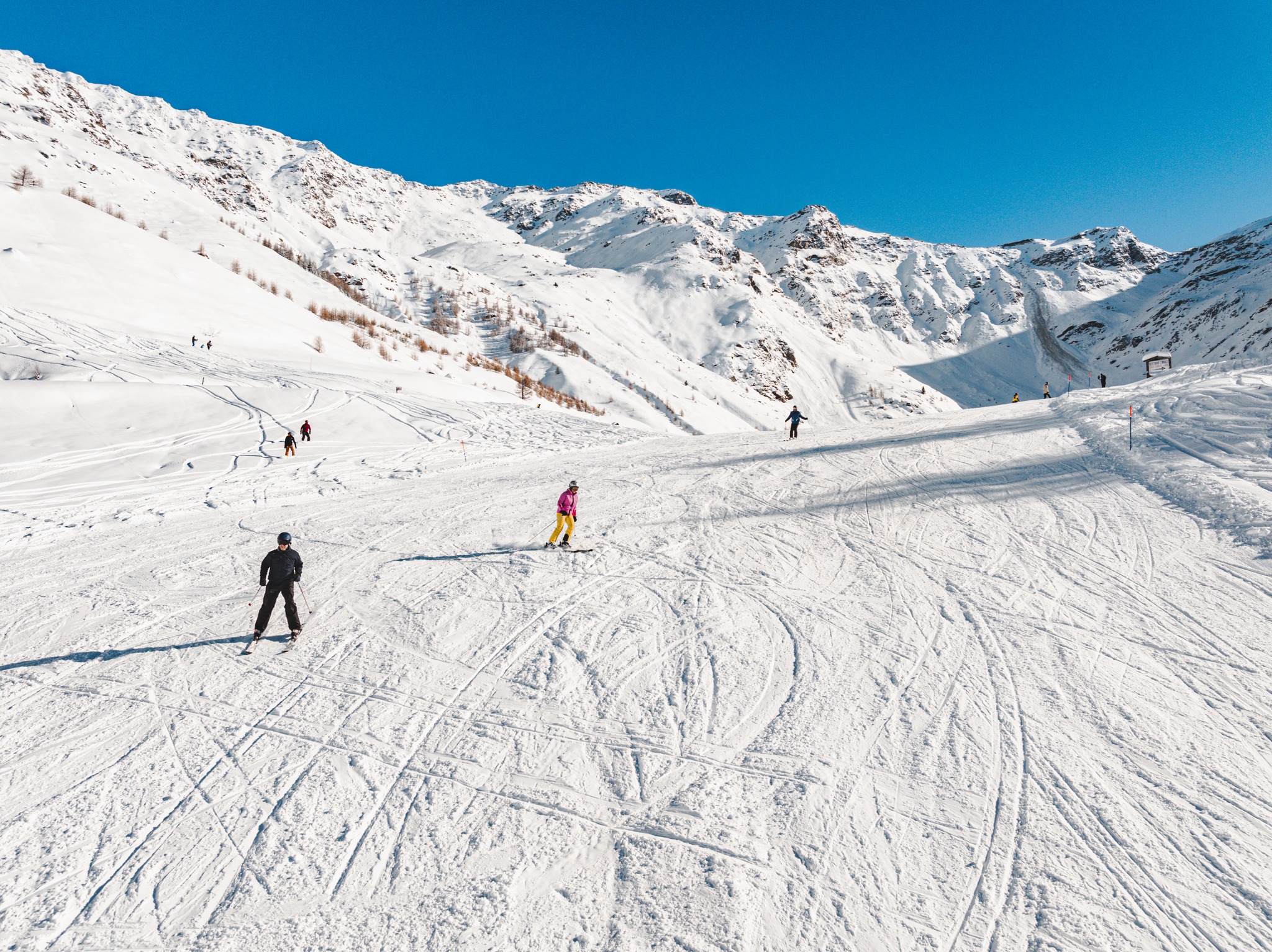
Snowbird Snow Report, Utah, USA
Luke was on the spot once again for the rope drop at Peruvian Gulch at Snowbird.
View this post on Instagram
World Snow Forecast For The Next 3-4 Days
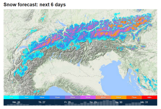
After snowfall up high the first half of this week the mercury continues to roam up and down the scale across the Austrian, French, Italian, and Swiss resorts with the freezing level down to 1,700m over the next 3-4 days bringing a mix of sunshine and 5-10cm of snowfall above that level, and rain below it.
Roccaraso in the Italian Apennine range could see 45-50cm; with Campo di Giove and Gran Sasso both in the Abruzzo region of Italy expecting 75-80cm above 1600m.
Resorts in Andorra and the French & Spanish Pyrenees will see similar conditions to the Alps with the freezing level down to 1,800m over the next 3-4 days bringing a mix of sunshine and 5-10cm of snowfall above that level, and rain below it.
It will be cooler in Central and Eastern Europe for the next 3-4 days with 10-15cm of snowfall above 2,000m across much of the region. Bjelanisca, Bosnia and Bansko, Bulgaria could see 25-30cm; Popova Shapka, North Macedonia is forecast to receive 35-40cm.
Further East the Georgian and Turkish resorts will see above freezing temperatures and freeze thaw conditions top to bottom before a new storm system moves in on Sunday evening.
Temperatures will hover around freezing in the Nordic Countries of Finland, Norway and Sweden with 5-10cm of snowfall on the highest peaks. Myrkdalen and Narvik, Norway could see 30-35cm of new snow above mid-mountain.
The snow continues to fall at the Canadian resorts of Alberta and British Columbia with below freezing temperatures and 5-10cm of new snow forecast. Lake Louise, Alberta could see 15-20cm; Whistler Blackcomb, BC is forecast to receive 25-30cm up high but rain below mid-mountain.
Temperatures remain below freezing on the East Coast of Canada with 5-10cm of new snow forecast across the region.
It will be warm & sunny for the western US resorts before a storm system moves in on Saturday bringing 5-10cm above 2,000m. Steamboat, Colorado is expecting 15-20cm.
The snow will return to the West Coast resorts of California, Oregon and Washington with 10-15cm forecast above 1,700m. Palisades Tahoe and Sugar Bowl, California are expecting 20-25cm; Mt Hood and Timberline, Oregon 25-30cm; and Mount Baker, Washington could see 20-25cm.
Temperatures remain below freezing on the East Coast of the United States with 5-10cm of new snow forecast across the region. Sunday River, Maine could see 20-25cm; and Cannon Mountain, New Hampshire is expecting 25-30cm.
Spring has sprung on Japan’s main island of Honshu bringing sunshine, freeze thaw conditions, and light rain below mid-mountain but 15-20cm of new snow above that. Appi Kogen could see 25-30cm of new snow through Monday.
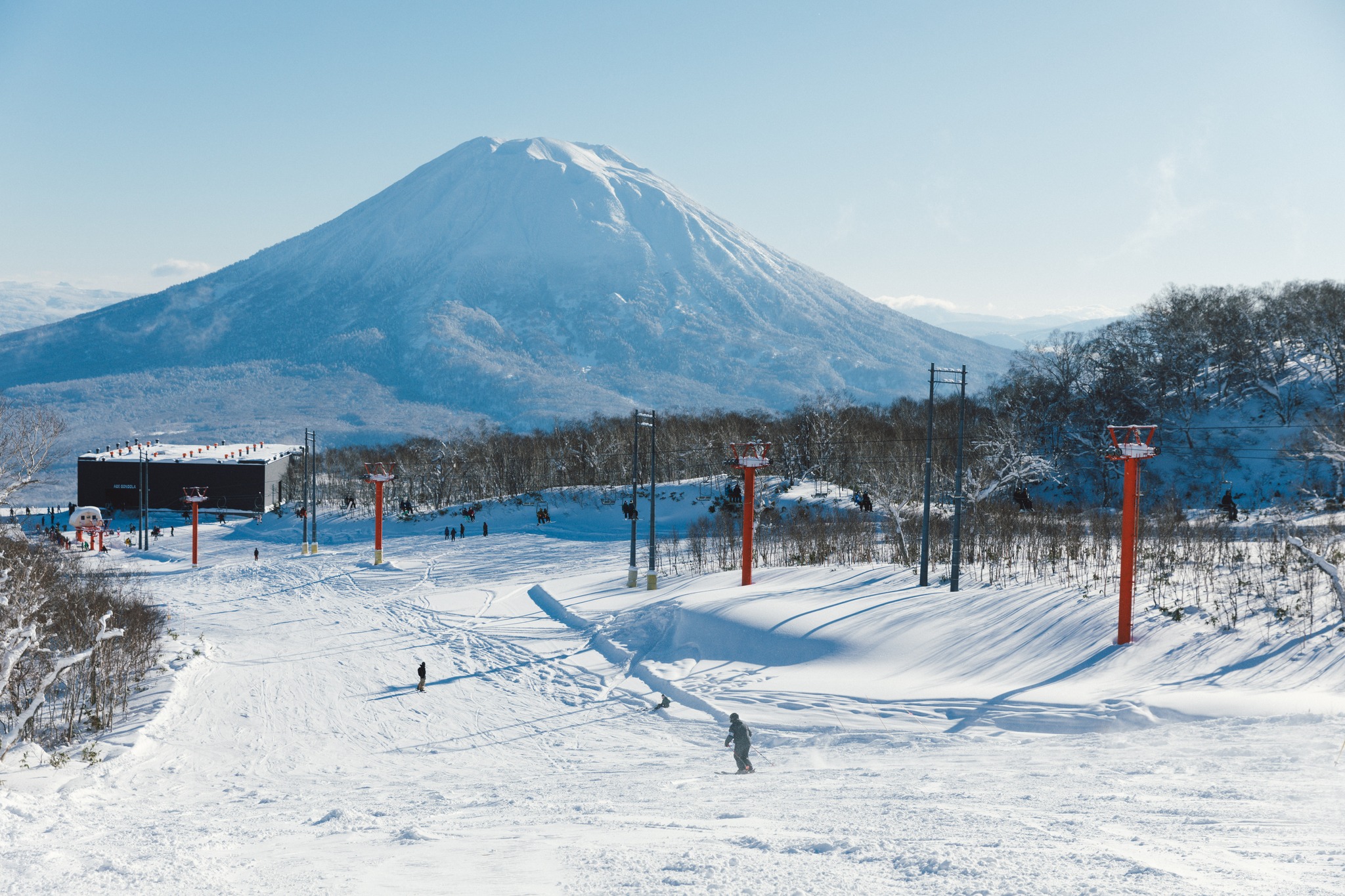
It’s cooler further North on the island of Hokkaido with 20-30cm forecast above 500m. The Niseko Resort Area is expecting 40-45cm.
Where To Ski
There will be very good Spring skiing across the Alps but head to north facing slopes above 1,700m for the best conditions. Preferably with gondola or covered chair access from the village to escape the rain.
Head to Roccaraso, Campo di Giove and Gran Sasso in the Italian Apennines for great Spring powder conditions.
Eastern Europe is looking good with Popova Shapaka living up to its ‘We Have Snow’ tag line.
Myrkdalen and Narvik are the go to destinations up North.
Further afield, a Spring trip to Hokkaido is still definitely worth the travel time.
Add Comment