


Snow Report – Monday 31 March 2025
In today’s report we catch up on conditions across Europe, North America and Asia with sunshine & fresh snow in the Alps and powder in Canada and the United States.
Where’s the snow going to land next? We’ve scoured the internet to give you the best recommendations.
Now on with the snow!
Snow Report
Our ‘on the snow’ reporters have been enjoying great conditions.
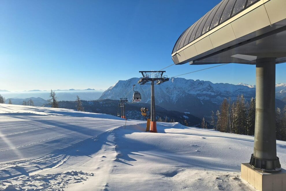
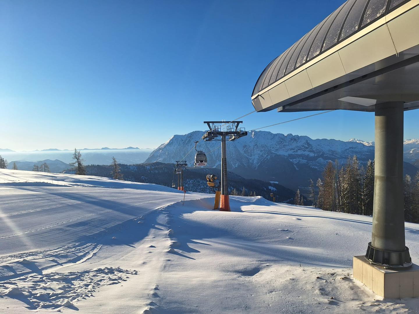
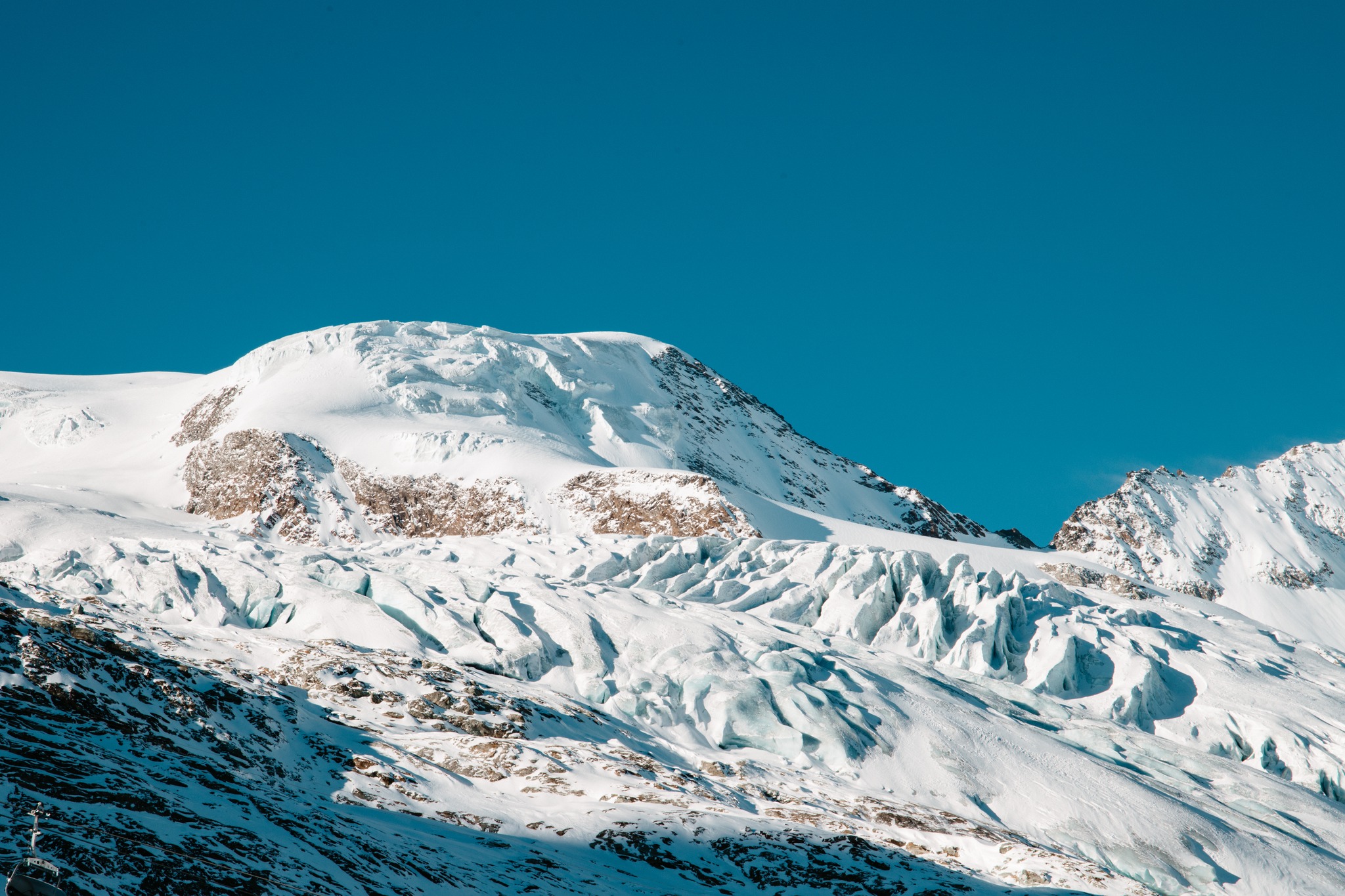
Aosta Valley Snow Report, Italy
Phil Brown sent us this report from the Aosta Valley where he’s enjoyed fresh snow and sunshine.
Click here to book lessons with Phil and his team.
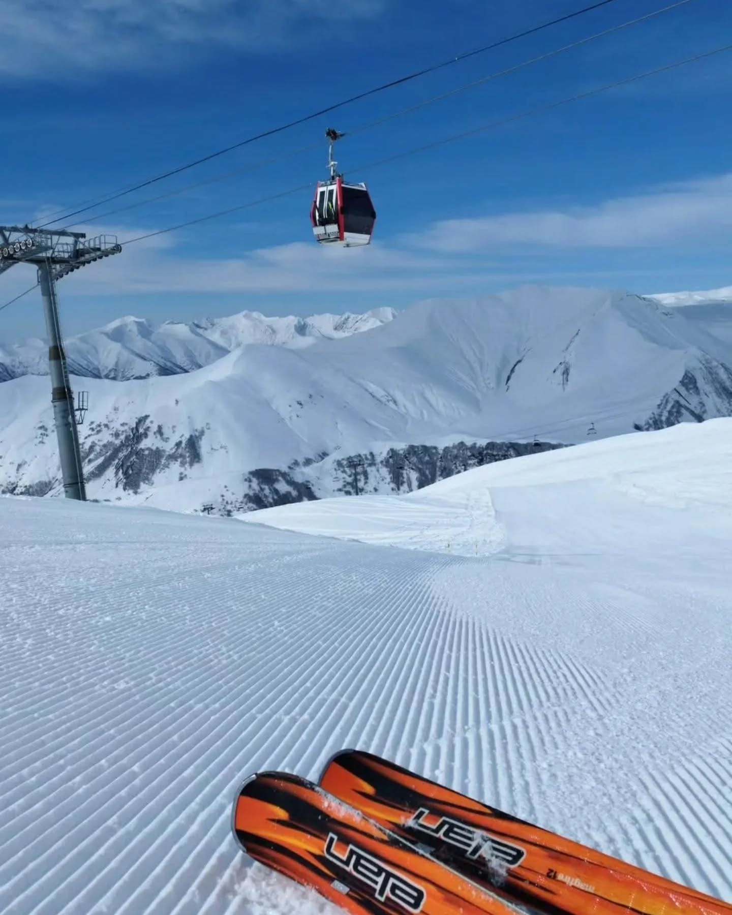
St Anton Snow Report, Austria
Super Sunday at St Anton, Austria.
View this post on Instagram
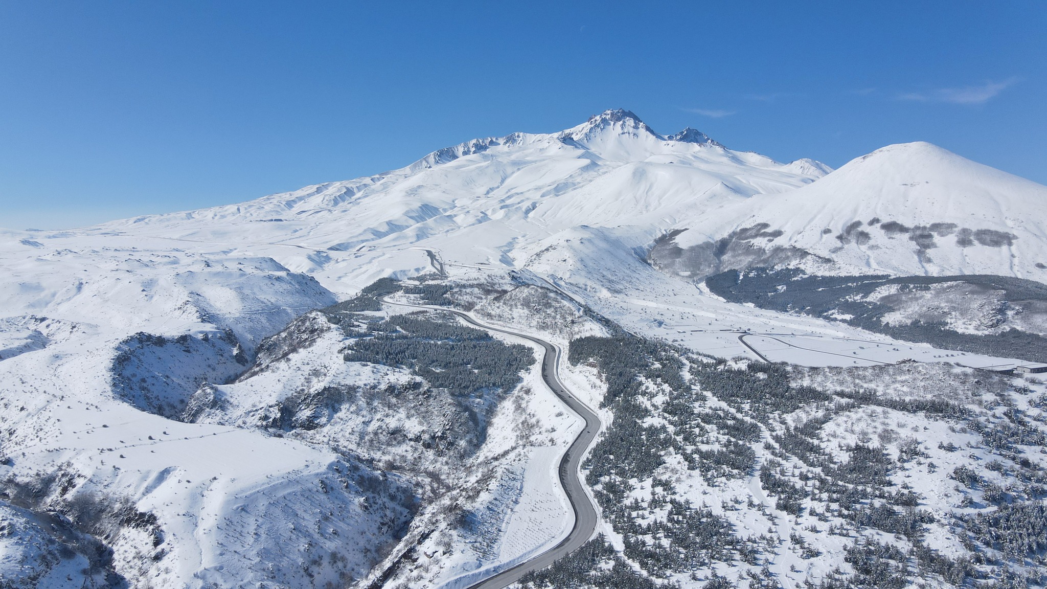
Gran Sasso Snow Report, Italy
Epic conditions at Gran Sasso National Park in Italy’s Abruzzo region. Combine skiing with a ‘Roman Holiday’ – the Italian capital is just 2hrs drive from the mountains.
View this post on Instagram
Banff Sunshine Snow Report, Alberta, Canada
Inbounds powder for the end of March at Banff Sunshine.
View this post on Instagram
Palisades Tahoe Snow Report, California, USA
Palisades Tahoe is in prime condition ahead of the 1m forecast this week.
View this post on Instagram
World Snow Forecast For The Next 3-4 Days
The Spring cycle is in full effect across the Austrian, French, Italian, and Swiss resorts with fluctuating freezing levels; a mix of sunshine and cloud; below freezing temperatures and snowfall in the alpine; and the chance of rain and snow at village level.
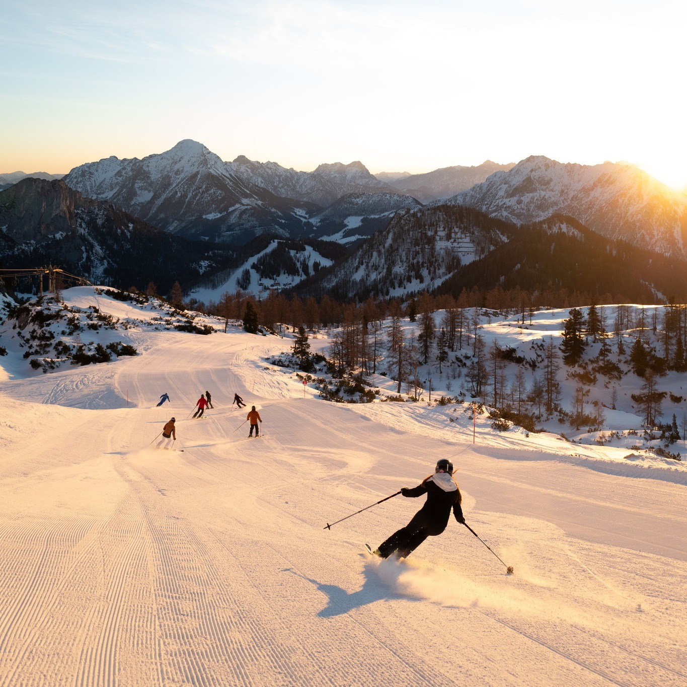
Good March snowfall should see most resorts offering great skiing top to bottom through the Easter Holiday period.
The freezing level will be below 2,000m the first half of the week with 5-10cm forecast, before a warming spell starting Thursday brings freeze thaw conditions and sunshine.
The Eastern Austrian resorts of Hinterstoder and Tapulitz could see 45-50cm of new snow on top of the 25cm which fell over the weekend.
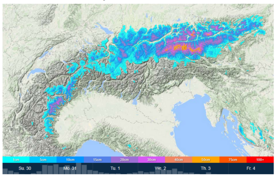
Isola 2000 and neighbouring resorts in Southern France are forecast to receive 60-65cm.
Campo di Giove and Gran Sasso both in the Abruzzo region of Italy should see 35-40cm of new snow above 1600m to add to the +50cm which fell over the weekend.
The powder days at Prato Nevoso, Italy continue with 80-85cm forecast the first half of the week.
Resorts in Andorra and the French & Spanish Pyrenees will see similar conditions to the Alps with a freezing level of approximately 2,100m over the next 3-4 days bringing a mix of sunshine and 5-15cm of snowfall above that level, and rain below it.
Central and Eastern Europe will see 5-10cm of snowfall above 2,000m across much of the region the first half of the week. Below that level it will be a combination of sunshine, warm temperatures, and light rainfall.
Further East the Georgian and Turkish resorts will see the freezing level dropping to 2,600m bringing 10-15cm of new snow above that level and light rain in the village.
Temperatures will hover around freezing in the Nordic Countries of Finland, Norway and Sweden with 5-10cm of snowfall on the highest peaks. Narvik, Norway could see 30-35cm of new snow above mid-mountain on top of the 30cm which fell over the weekend.
The snow continues to fall at the Canadian resorts of Alberta and British Columbia with below freezing temperatures and 5-10cm of new snow forecast.
It will be a wet start to the week on the East Coast of Canada with heavy rain top to bottom turning to snowfall above mid-mountain on Wednesday evening.
The snow has returned to the Western US resorts with 10-15cm above 2,000m through Thursday. Steamboat, Colorado and Alta, Utah are expecting 20-25cm.
The West Coast resorts of California are going to get pounded this week. Palisades Tahoe and Sugar Bowl could see 1m!
The Oregon and Washington resorts will see 10-15cm forecast above 1,700m.
It will be a wet start to the week on the East Coast of the United States with heavy rain top to bottom turning to snowfall above mid-mountain on Wednesday evening.
Spring has sprung on Japan’s main island of Honshu bringing sunshine, freeze thaw conditions, and light rain below mid-mountain but 10-15cm of new snow above that. Appi Kogen could see 20-25cm of new snow.
It’s cooler further North on the island of Hokkaido with 10-15cm forecast above 500m. Asahidake is expecting 20-25cm on top of the 25cm which fell over the weekend.
Where To Ski
There will be very good Spring skiing across the Alps but head to north facing slopes above 2,000m for the best conditions. Preferably with gondola or covered chair access from the village to escape the rain.
Head to the Eastern Austrian resorts of Hinterstoder and Tapulitz; Isola 2000 in Southern France; and Campo di Giove and Prato Nevoso in Italy for great Spring powder conditions.
Narvik is the go to destination up North.
Further afield a Spring trip to California, USA is still definitely worth the travel time.
Add Comment