


Snow Report: Thursday 27 February 2025
In today’s report we catch up on conditions across Europe, North America and Asia with big snowfall in Georgia and the United States.
Where’s the snow going to land next? We’ve scoured the internet to give you the best recommendations.
Now on with the snow!
Snow Report
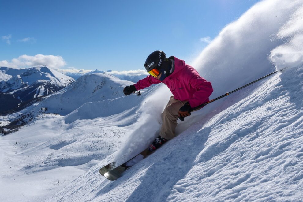
Our ‘on the snow’ reporters have been enjoying great conditions across the European Alps.
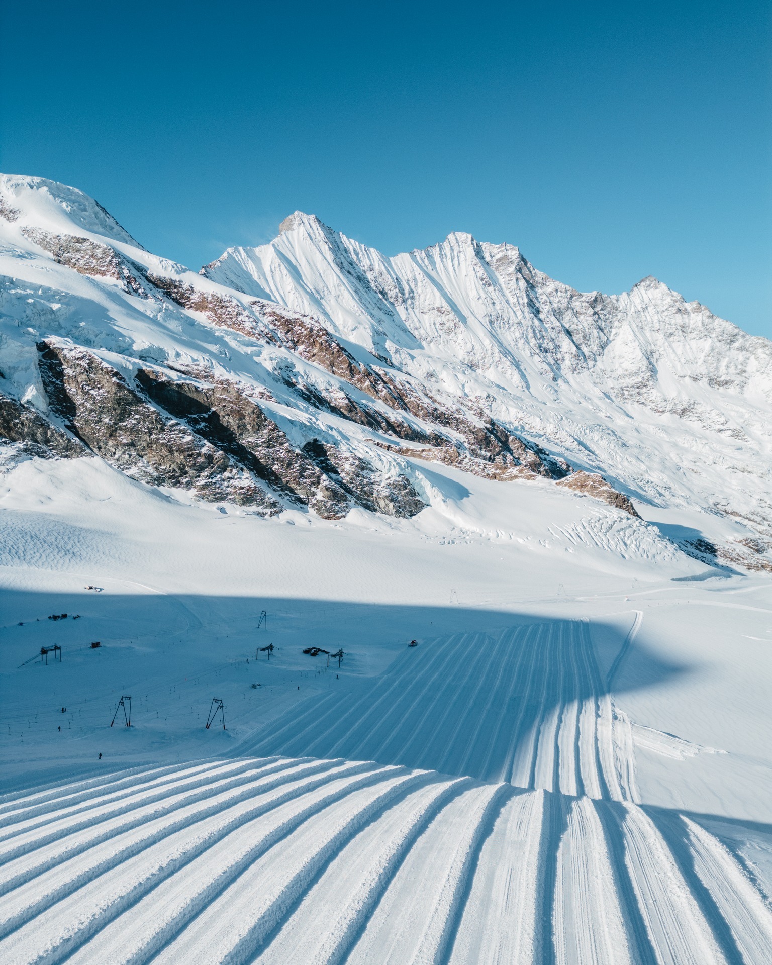
Pila Snow Report, Italy
Phil Brown sent us this report from Pila, Italy where the snow has started falling after almost two weeks of sunshine.
Click here to book lessons with Phil and his team
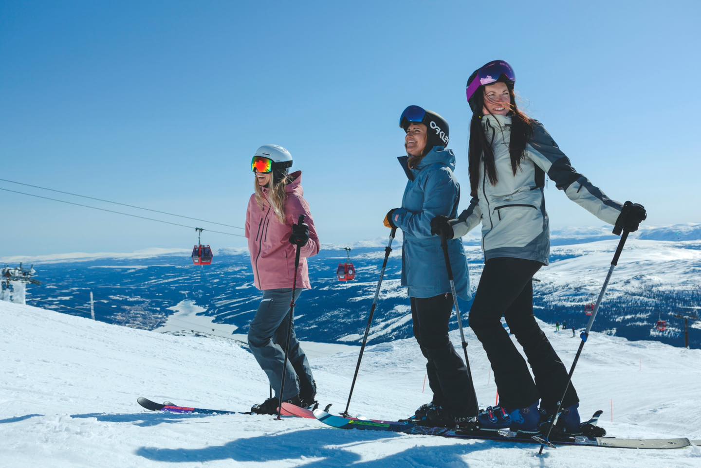
Looking to avoid the February Half Term crowds and price hikes? Head East to Erciyes Resort in Turkiye like Nerys Royal has for wonderfully groomed, deserted pistes and next to no lift queues.
Erciyes Snow Report, Turkiye
Further East, a major snow storm has swept across Georgia bringing wonderful powder conditions but also increased avalanche risk. If you’re heading off-piste please ski with others; carry the necessary avalanche safety equipment bringing huge disruption to Istanbul; deep snow at the resorts in the West; and season’s best conditions in the mountains on the Black Sea Coast.
Svaneti Snow Report, Georgia
View this post on Instagram
Gryon Snow Report,Switzerland
Dave from SnowPros Ski School
Grand Saint Bernard Snow Report, Switzerland/Itlay
Jim Welove2Ski Digital Editor
World Snow Forecast For The Next 3-4 Days
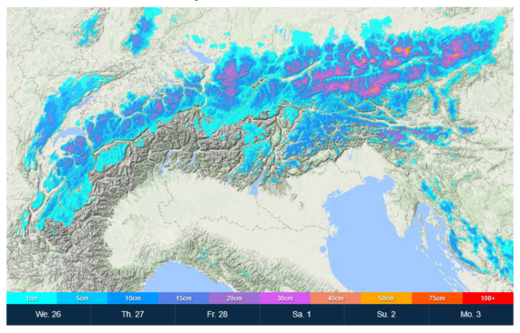
The Alpine resorts of Austria, France, Italy, and Switzerland will see a sprinkling of new snow and temperatures between -5C and -10C.
Further East, the Italian Dolomites will see a storm moving in this evening bringing 15-20cm to Cortina and 25-30cm to San Martino Di Castrozza.
Andorra and the French & Spanish Pyrenees will see below freezing temperatures and 5-10cm of new snow.
Central and Eastern Europe will see below freezing temperatures and 5-10cm of new snow. It’s snowing in Krvavec, Slovenia with 25cm overnight and a further 10-15cm forecast through Monday.
Further East the Georgian and Turkish resorts will see temperatures between -5C and -10 C with 10-15cm forecast.
The Nordic countries of Finland, Norway and Sweden will see freeze thaw conditions and the chance of 5-10cm of new snow at higher elevations. Stranda, Norway is forecast to receive 25-30cm and Are, Sweden is expecting 35-40cm.
The Alberta and British Columbia resorts of Canada will see a warming spike with freeze thaw conditions conditions.
Temperatures will remain cold on the East Coast with 15-20cm forecast for Tremblant, Quebec.
Most of the western US resorts will see mixed conditions with freeze thaw conditions to most levels.
The West Coast resorts of California will continue to see clear skies and sunshine with a storm moving in on Sunday. Sugar Bowl could see 25-30cm.

Further north the Oregon and Washington resorts will see the ‘Pineapple Express’ rolling in from Hawaii bringing temperatures close to 10C top to bottom. Thankfully this is a warm, dry event.
Further North, Alaska is going to get pounded with 70-75cm forecast for Alyeska Resort.
Temperatures remain cold on the East Coast with a further 10-15cm forecast. Killington, Vermont could see 20-25cm.
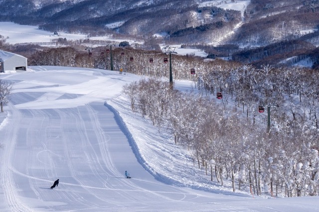
Japan’s main island of Honshu will see a massive spike in temperature on Sunday bringing heavy rain top to bottom. The northern island of Hokkaido will escape the rain with 10-20cm forecast through Monday.
Where To Ski
There will be great skiing all across the Alps but for new snow head to the Italian Dolomites.
Krvavec, Slovenia is the pick in Central and Eastern Europe.
Stranda, Norway and Are, Sweden will have the best conditions in the Nordic countries.
Have the time to head further afield?
Then head to Alaska, United States for deep powder turns and ocean views.


Add Comment