


Snow Report: Monday 03 March 2025
In today’s report we catch up on conditions across Europe, North America and Asia with big snowfall at Gulmarg, Kashmir.
Where’s the snow going to land next? We’ve scoured the internet to give you the best recommendations.
Now on with the snow!
Snow Report
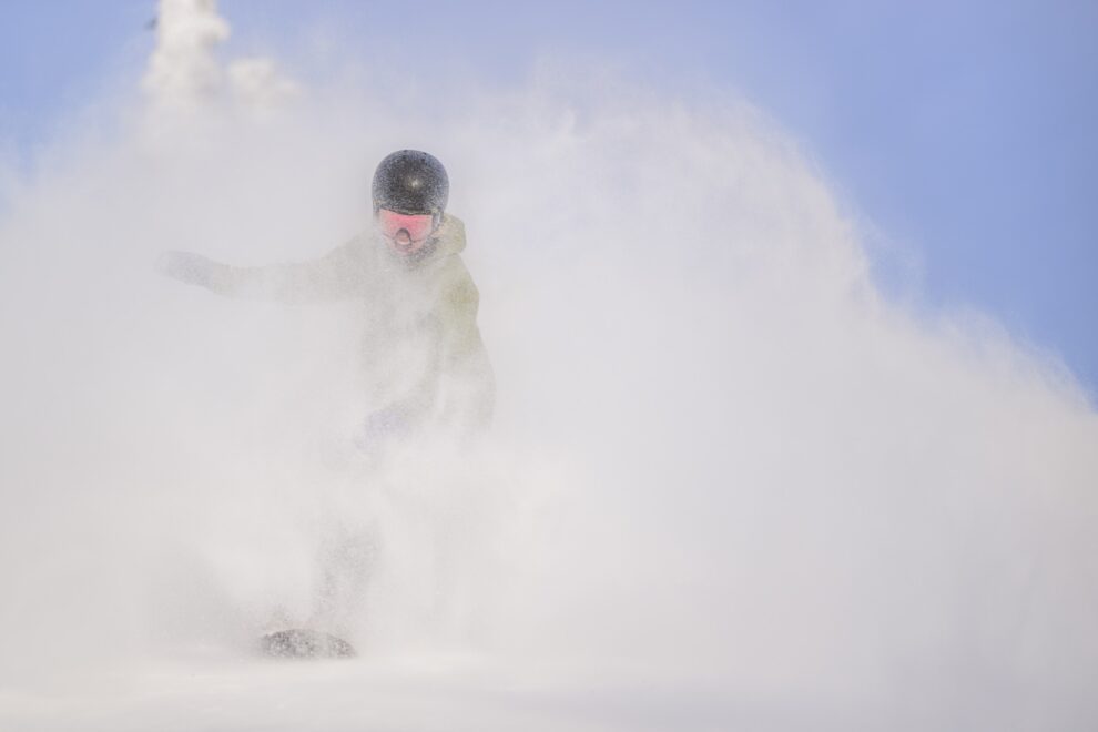
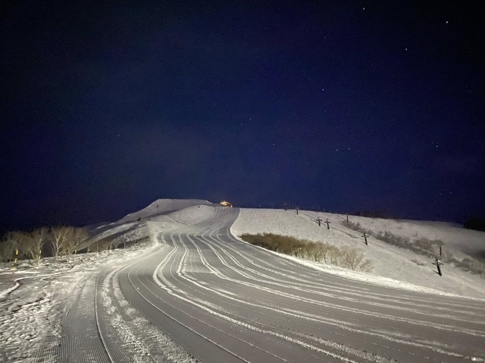
Our ‘on the snow’ reporters have been enjoying great conditions across the European Alps.
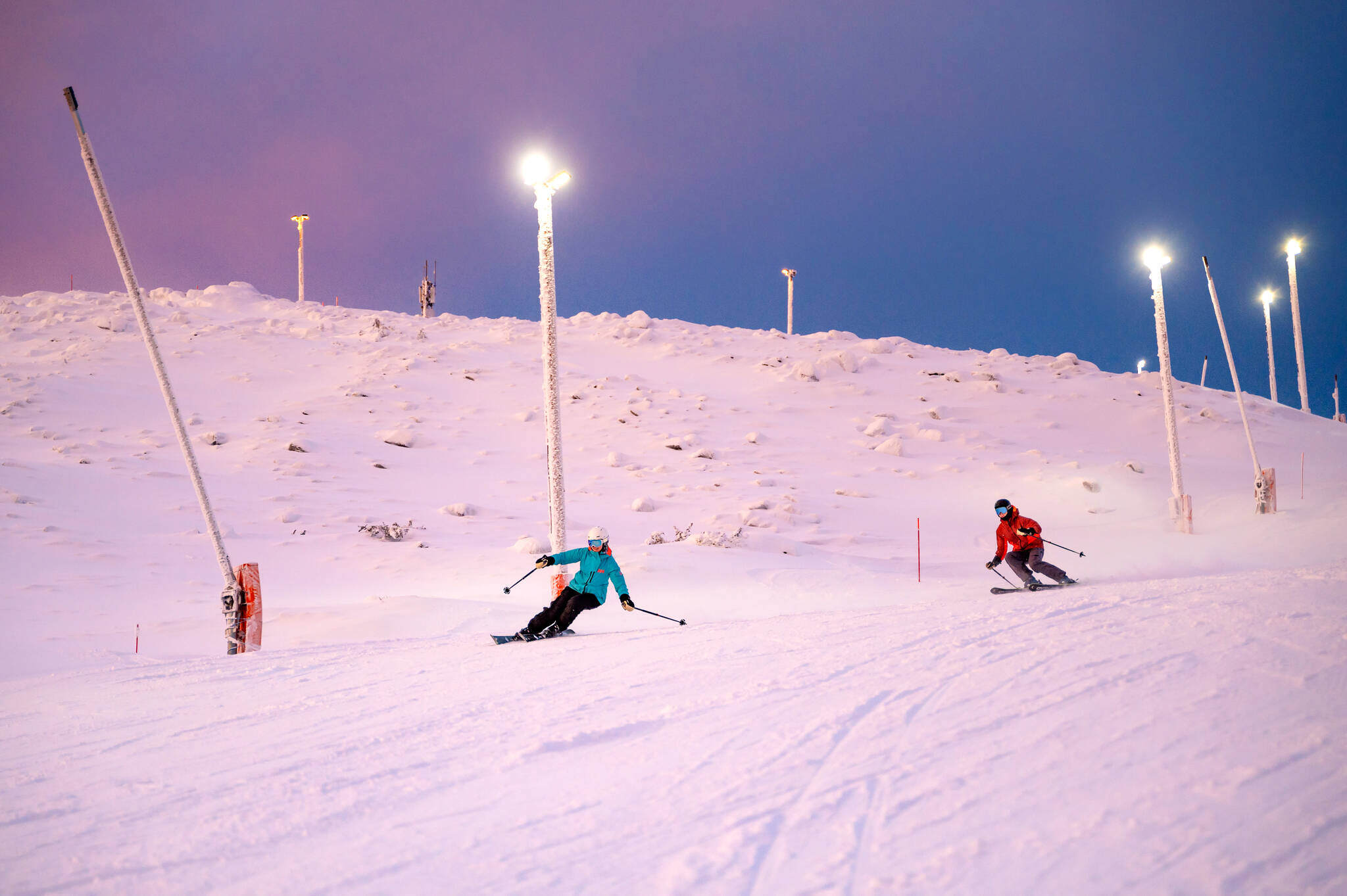
Val D’Isere & Tignes Snow Report, France
Ken Smith from Progression Ski reports sunshine and powder in Val D’Isere and Tignes.
Ken Smith has lived and worked in Val d’Isere for 30 seasons and is the owner of Progression Ski and Snowboard School and Alpine Exclusive accommodation agency.
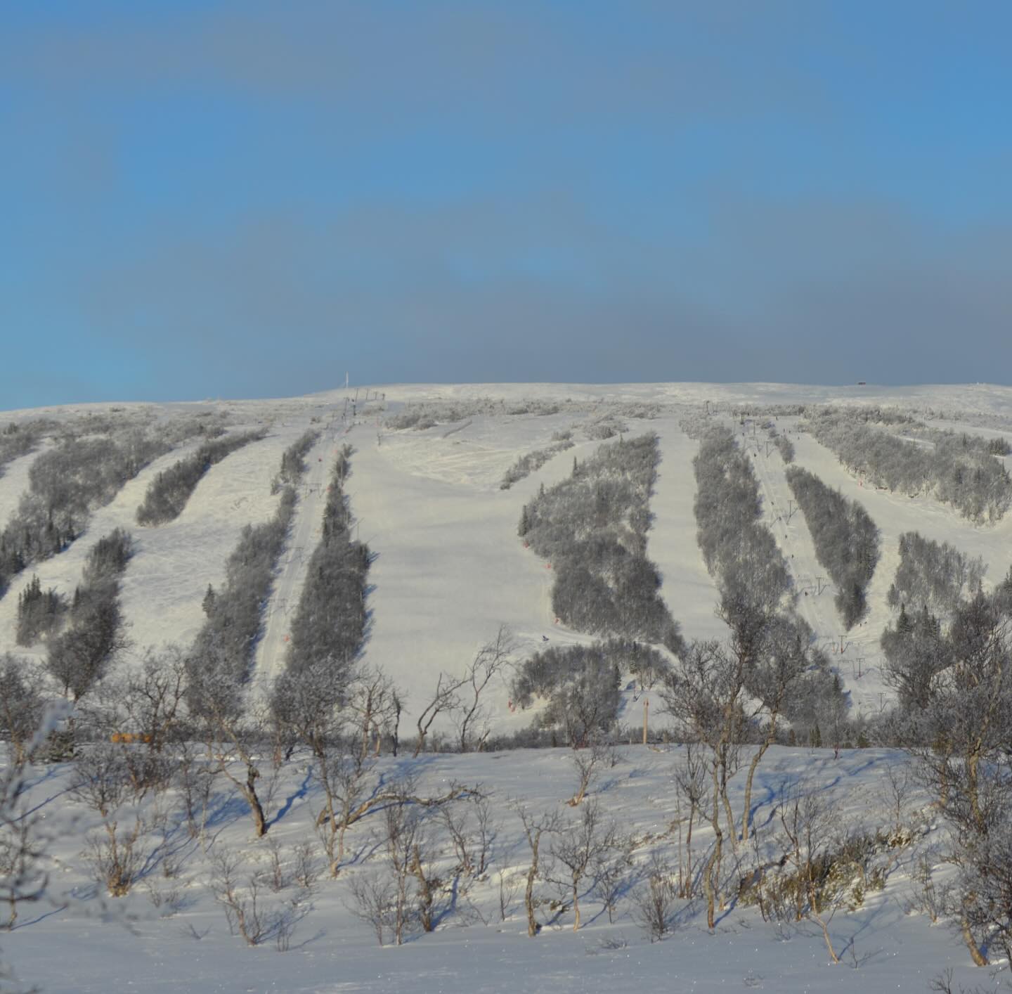
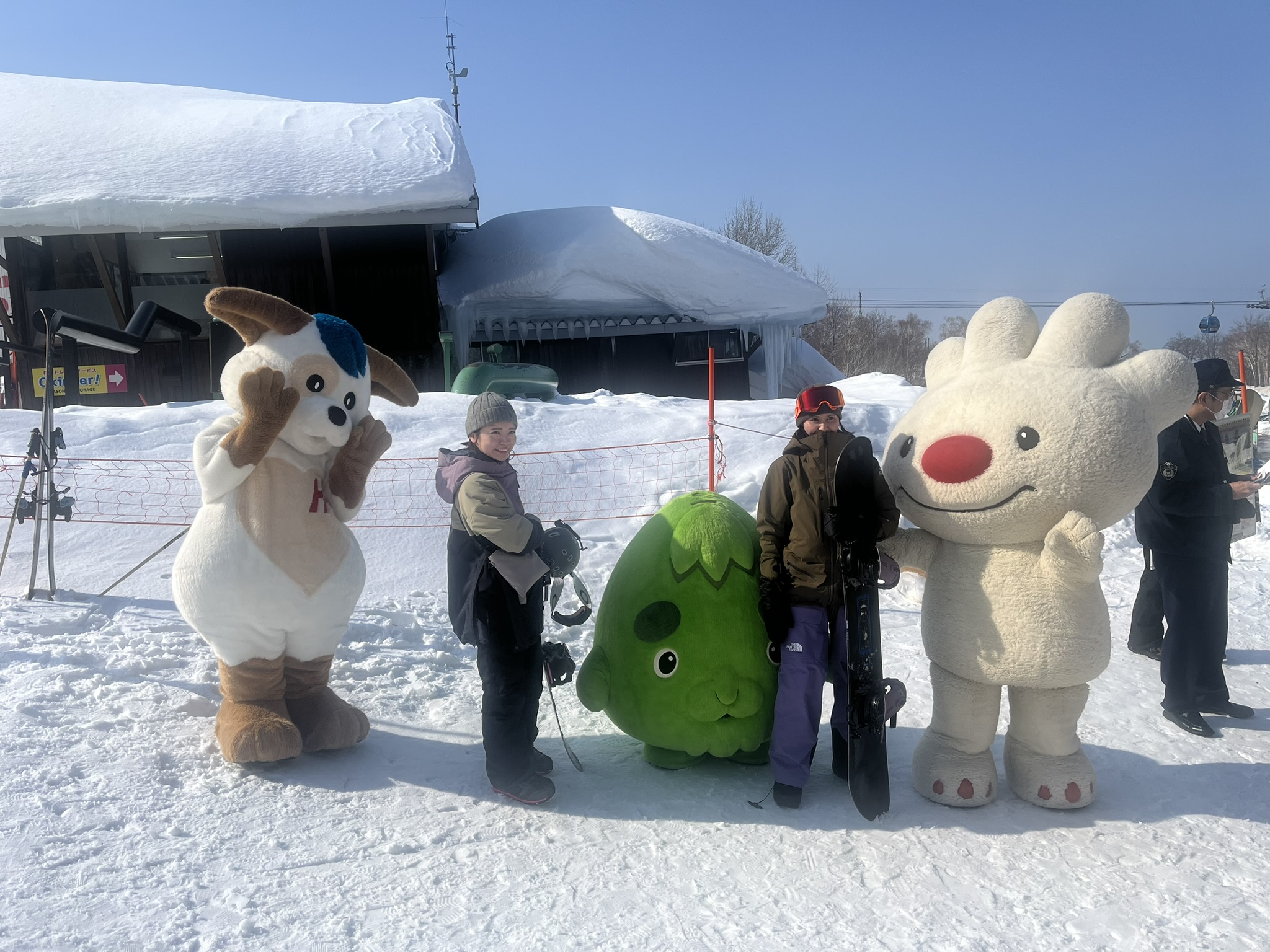
Champex Lac Snow Report, Switzerland
Phil Brown and Dave Burrows sent us this report from Champex Lac, Switzerland where they enjoyed the sunshine and quiet slopes.
Click here to book lessons with Phil and his team
Click here to book lessons with Dave and his team
In Gulmarg, Kashmir 38cm fell last Saturday with another 35cm forecast over the next two days. Conditions are going to be epic once the snowpack settles.
Gulmarg Snow Report, Kashmir
View this post on Instagram
World Snow Forecast For The Next 3-4 Days
The Alpine resorts of Austria, France, Italy, and Switzerland will sunshine and rising temperatures through Thursday with the freezing level getting to 2,500m and freeze thaw conditions at most resorts and most levels.
It will be a similar situation in Andorra and the French & Spanish Pyrenees with the chance of a sprinkling of new snow up high. Valdesqui, Spain received 30cm over the weekend, with another 20-25cm forecast through Thursday.

Temperatures will be a little cooler in Central and Eastern Europe at the start of the week but will quickly rise to between 5C and 10C by Thursday.
Further East the Georgian and Turkish resorts will see temperatures between -5C and -10 C with 5-10cm forecast.
The Finnish resorts will below freezing temperatures and 5-10cm of new snow.
Most Norwegian and Swedish resorts will see freeze thaw conditions and the chance of 5-10cm of new snow at higher elevations.
Myrkdalen, Roldal and Stranda, Norway received 30cm over the weekend, with almost 1m forecast through Thursday. However the freezing level is set to rise bringing rain to 1,000m on Wednesday night.
Are and Storlien, Sweden received 40-50cm over the weekend, with 55-60cm forecast over the next three days.
The Alberta and British Columbia resorts of Canada will see temperatures well below freezing with 5-10cm of new snow forecast.
Temperatures will remain cold on the East Coast of Canada today and tomorrow with 5-10cm forecast but a sudden temperature spike on Wednesday will see rain top to bottom across the region.
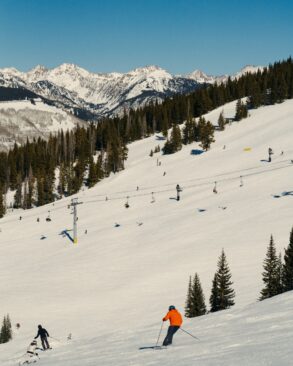
Most of the western US resorts will see a storm system moving in today with 10-20cm forecast. Vail, Colorado could see 30cm.
The West Coast resorts of California, Oregon and Washington will 10-15cm of snowfall on Wednesday. Mammoth, California could see 25-30cm.
Further North, Alaska is going to get pounded with 50-55cm forecast for Alyeska Resort.
Temperatures will remain cold on the East Coast of the United States today and tomorrow with 5-10cm forecast but a sudden temperature spike on Wednesday will see rain top to bottom across the region.
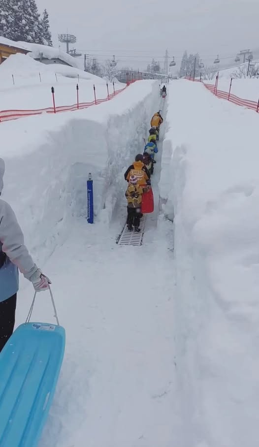
Japan’s main island of Honshu will see a return to more normal temperatures for this time of the season with Happo-One expecting 45-50cm through Thursday. However heavy rain will fall at village level.
The northern island of Hokkaido will escape the rain with 10-20cm forecast.
Where To Ski
There will be great Spring skiing across the Alps but for new snow head north to Norway and Sweden with big falls anticipated at Myrkdalen, Roldal and Stranda, Norway & Are and Storlien, Sweden.
Have the time to head further afield?
Then head to Vail, Colorado and Alyeska, Alaska both in the United States for deep powder turns.
Won the lottery?
Then it has to be Gulmarg, Kashmir or Himachal Heli Skiing out of of Manali, India.


Add Comment