


Winter’s back. The Christmas thaw in the Alps has been blown away by a humid, north-westerly airstream, and heavy snow is expected in both the western and south-eastern Alps. Half a metre of the white stuff is expected in places.
Here’s today’s snow forecast for the Alps.
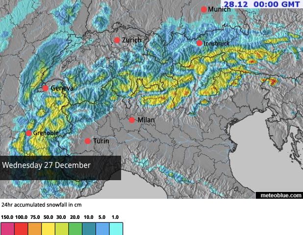
In many places, the day started with the freezing point at the 1500m mark. But it’s falling steadily now, and is expected to be down at 500m by the evening. As a result, the snow will settle at village level right across the region.
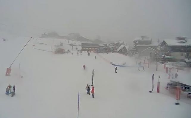
Here’s how it’s looking at an altitude of 1200m this morning – in Les Gets in the French Alps.
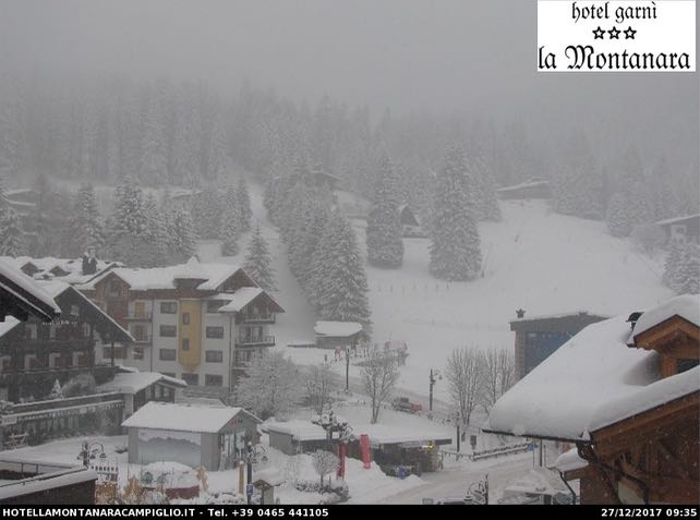
And this is the scene at village level (1500m) in Madonna di Campiglio in Italy. This is one of the areas expecting to see the heaviest snow today.
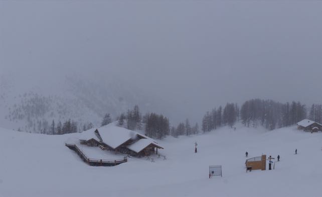
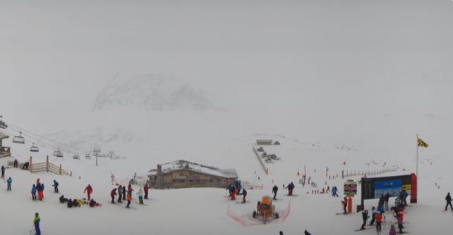
Heavy snow is expected in the French Alps south of Grenoble, too. Here’s how Serre Chevalier looks this morning.
And this is the snowy scene at Val d’Isere this morning.
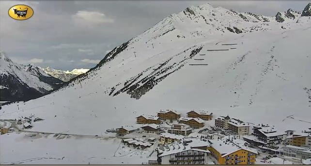
As I write, they’re still waiting for the snow to start in many Austrian resorts. It’s due to get going by early afternoon, and continue for most of Thursday. Pictured below is Kuhtai near Innsbruck.
The new snow will of course do wonders for the quality of the skiing. The Christmas thaw affected many slopes, and it will be great to get a new layer of soft, light, wintry snow on top of the icy pistes and lumpy backcountry runs. However, off-pisters need to be very cautious. The avalanche risk is rising, and may well be at 4/5 by the time the skies clear.
This latest storm is expected to clear from the west tomorrow. Then there’ll be a short pause, before another front blows in on Friday. More heavy snow is expected, but temperatures are also expected to jump on Saturday as the wind swings into the west – and drags in much milder air.
If the forecast is right, there’ll be rain at village level in some resorts. What’s more, according to mid-range forecasts the general trend thereafter is sunny and mild. So if you’re planning a last-minute early-January trip you might want to aim for one of the higher resorts.
Here’s the ECMWF’s latest weather chart for next Wednesday, January 3, showing the next thaw settling over the region.


Add Comment