Suddenly, the march towards winter is looking more self-assured.
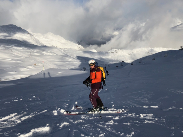
This week, above 2000m, we’ve had several falls of snow. The latest, which swept over Switzerland, the French Alps and patch of western Austria today, left the mountains looking brilliantly white in the afternoon sunshine.
As a result, in Val d’Isere, my fellow Welove2ski editor Peter Hardy was enjoying enviable conditions on the higher pistes. Here, the snow settled down at resort level at 1850m (though not in any great quantity).
But this is just the hors d’oeuvre before the main event.
So far, the autumn and early winter in the Alps have been generally very mild. They’ve been wet too: and in many of of the higher resorts there’s already good (and sometimes excellent) cover for the time of year.
Lower down, by contrast, the valley runs have been snowless in many places.
Now, at last it looks as though we’ll see an extended shift towards colder weather. There’s still the chance of the odd warm burp of air, tomorrow and Sunday, especially in the western Alps. But all the same, two weather fronts are expected and the second will be quite powerful and extended.
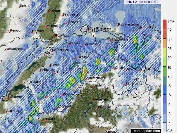
Here’s Meteoblue’s precipitation map for Switzerland on Saturday, at 1am.

By Monday, the daytime freezing point is likely to be at 1,000m in France, and 800m in Austria.
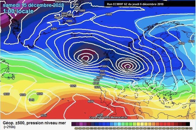
By Tuesday, the weather will have calmed down, and temperatures will rise slightly. But at the moment the mid-range forecast suggests we’ll get another dose of winter around December 15. Here’s the ECMWF’s prognosis for December 15…

It’s too soon to be sure of this – and of course there’s still the chance the weather will warm up before Christmas. It can’t be ruled out in a year as warm as this one. But at the very least, the outlook for the mid to high-level resorts is good, and maybe excellent. If the second, big dose of snow comes around December 15, the lower resorts will be smiling too…


Add Comment