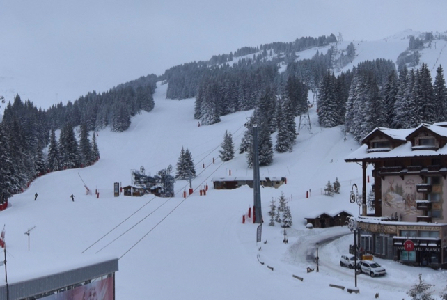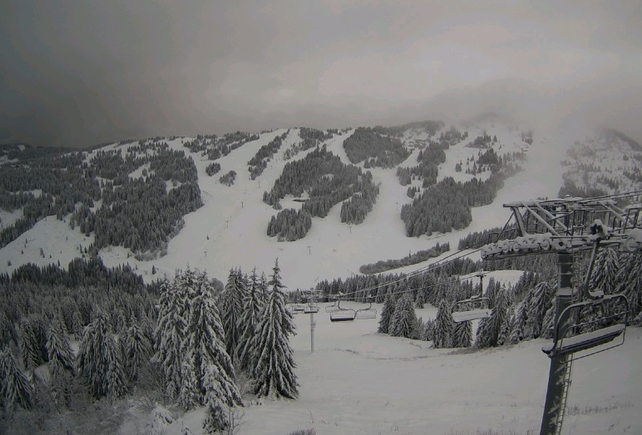
Christmas has come early in the northern Alps. Over the weekend, Mother Nature put her Santa hat on, and dumped more than half a metre of snow in some areas. By the time the skies clear on Tuesday, up to 100cm of the white stuff is expected in places.
So far, the north-western end of the region has seen the heaviest falls. Last night MeteoFrance’s avalanche-forecasting service was expecting a total of 100cm of fresh snow from the storm on north-facing slopes above 1800m Val d’Isere, and around 80cm above Chamonix. However, snow will continue falling for longer in Austria. In the Arlberg (home of St Anton and Lech-Zurs), a metre of the white stuff could fall by Tuesday afternoon. (In fact, by 8.30 this morning the settled snow depth at 2100m in St Anton was already 100cm deep.)
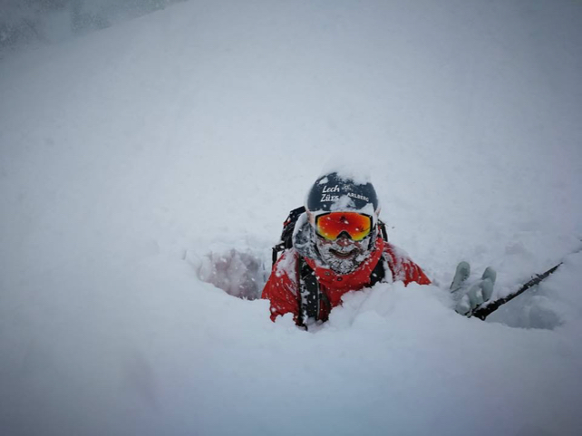
This photograph was taken at lunchtime in neighbouring Lech-Zurs. Obviously, he’s playing up the for camera. But still…

Thanks to the heavy falls and high winds, the avalanche risk is high. Above about 2000m, dense, unstable wind-slabs are sitting on a layer of crusty, refrozen snow: and across a broad sweep of central Switzerland, and western end of the Tirol, the rating is 4/5. That rules out all off-piste skiing.
But all the same: what a gift! In France, Switzerland and Austria, the mid to high-altitude resorts are now well-stocked for the coming festive holiday rush – even if the mid-range forecast is looking decidedly less snowy than it was.
The lower resorts are also looking good today. One significant feature of the storm at the weekend is how temperatures have dropped as the snow has fallen. Even on Sunday morning, the precipitation was still falling as rain at 1000m across the region. But as the day went on, the snowline dropped below that level, and now even the valley runs are white.

However, I’d still suggest aiming for a resort with plenty of skiing above 2000m if you’re hunting for a last-minute Christmas or New Year holiday. Whilst it’s going to stay cold in Austria until the end of the week (the daytime freezing point will hover between 400-800m till Friday), the French Alps will be warmer, with the 0-degree mark nudging 1500m from time to time. And temperatures are likely to climb after that.
In fact some mid-range forecasts are now predicting a steadily-building spell of mild weather in the run up the Christmas holiday. It’s much too soon to be sure of that: but it’s a useful reminder of how fluky the weather can be this time of year. As ever, your best insurance is altitude.


Add Comment