


Across much of the northern Alps, the weather this week has been magnificent – sunny, cold and (from the middle of the week) calm. As I said on Tuesday, the snow has been fairly hard, both on-piste and off. But not everywhere: and after the January storms the sense of wintry stability has felt like a blessing. On piste, skiers have had one of the best weeks of the season.
The cold spell is set to continue well into next week.
However, it won’t be quite as sunny as it has been of late. The high pressure over the Alps is weakening, and we’re expecting some rather feeble weather fronts to cross the region in the next few days. Only light to moderate snowfall is expected, but it’ll help to soften up the pistes once it’s been groomed in.
Here’s tomorrow’s snow forecast.

On Thursday, there may be a milder, stormier interlude, with the chance of rain up to 1500m (and snow above that): but it’s too soon to be certain of it, and the charts suggest it will be short-lived, thank goodness.
So: the main week for half-term holidays looks pretty good, but not perfect. Expect patches of sunshine, light snowfall and then maybe a grottier day on Thursday, before the weather settles down again.
On-piste, you’ll find the softer surface snow being scraped away to reveal the harder stuff underneath as the day progresses, but with the weather being so reliably cold there’s less chance of unmanageable moguls developing at the end of the day. Even so, the best times to ski will be first thing in the morning, when the pistes are freshly groomed, and at lunchtime when they suddenly empty for an hour.
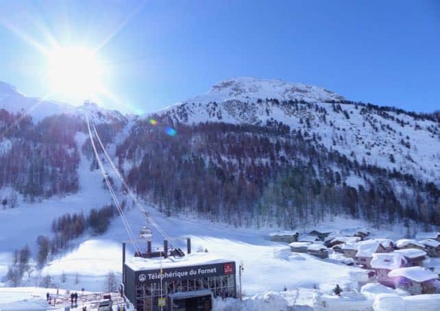
Anyone who’s hoping to find powder off-piste should hire a guide. On all the obvious slopes the snow is well-worn and cruddy. But at altitude, on inaccessible, sheltered slopes, it can still be soft and powdery. I’ve just come back from a fabulous couple of days in Val Thorens, courtesy of the Fitzroy Hotel – and had the enormous privilege of skiing with former Freeride World Champion Aurelien Ducroz. I thought there was no soft snow left in the Three Valleys, but he found plenty…
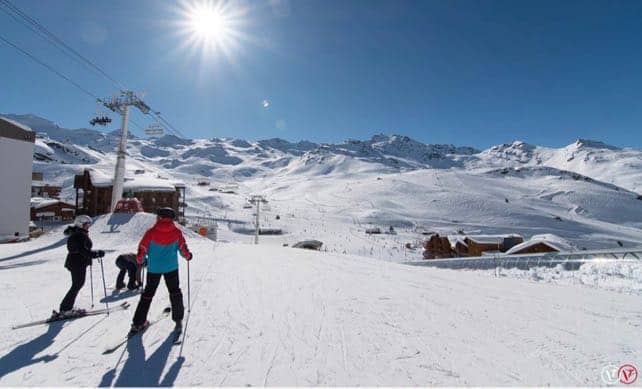
Here’s how it was looking in Val Thorens earlier today. The snow here is 225-270cm deep, on-piste.
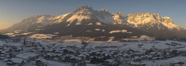
Meanwhile, here’s a rather beautiful shot of the Tirol’s Wilder Kaiser at sunset today, seen from the slopes of the Skiwelt, where the snow is 85-170cm deep.
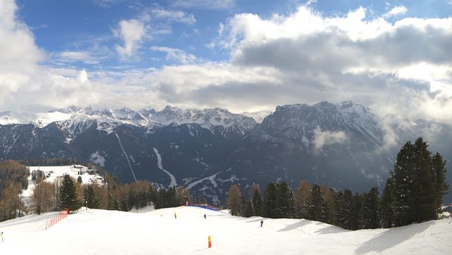
Here’s how it looked this morning in the Val di Fassa, looking from Catinaccio towards the Buffaure area above Canazei. Up there, the snow is 45-140cm deep. As in the Skiwelt shot, note the top-to-bottom snow – a sign of the low temperatures.
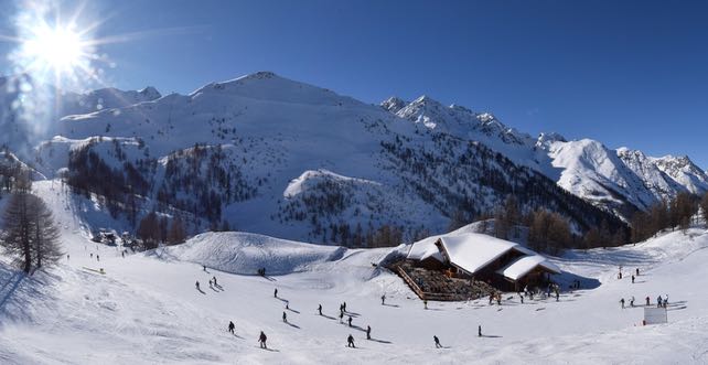
And this was Serre Chevalier, south of Grenoble, earlier today. Here, the settled snow is 84-264cm deep.
If you’re heading out to the mountains next week – have a fantastic trip.


Verbier extrême legend! Where’d he take you?