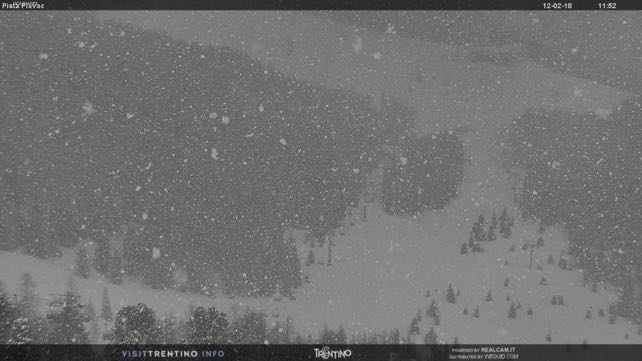
It’s been a wintry start to the half-term week in the Alps. Today, the daytime freezing point has been down at the 300m mark, and there’s been light to moderate snowfall.
Across France and Switzerland, many resorts have picked up 15cm of the white stuff since Sunday, and in Austria, 20-30cm is likely to fall. Already in the Tirol the avalanche risk has risen to 3/5, off-piste – because the new snow is not bonding well with the existing cover. It’s also being hustled into unstable, wind-packed slabs. Elsewhere in the north, the risk is generally at 2/5.
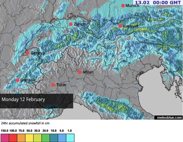
Today’s snow forecast for the Alps gives you an idea of the new snow’s distribution.
Once the new snow is groomed in, tomorrow morning, it’ll create a wonderfully soft and grippy surface on the region’s waymarked trails: but anyone who wants to enjoy it will need to get out early, as the heavy human traffic of this peak holiday week will quickly scrape it away, to reveal a harder surface underneath. It’ll still be perfectly skiable, of course. After the big, scary storms of early and mid-January, the cover is exceptionally deep. But you will need a more precise technique to enjoy it.
Meanwhile, off-piste, there won’t be enough new snow to fundamentally change conditions. Here, much of the cover is hard as a result of thaws at the end of January: but as I discovered last week in the Three Valleys of France, there’s still soft snow around on high, inaccessible slopes that are sheltered from the wind. If you want to ski powder that’s more than a few centimetres deep, you need to hire a guide to show you where it is.
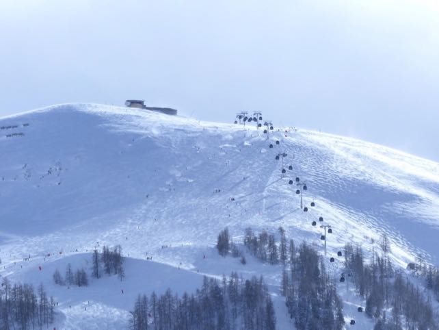
Here’s how it was looking on the Solaise, above Val d’Isere, after the skies cleared today.
According to John Yates-Smith of YSE, the most striking characteristics of the day are the “deep-freeze temperatures,” and piercing northerly winds. “This probably isn’t what Mummy and Daddy had in mind when they persuaded Lysander and Apple that skiing might be almost as exciting as turning themselves into emojis on their iPhone Xs,” he says, but notes that tomorrow will be calmer and sunnier.
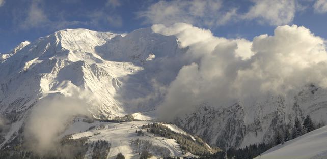
Meanwhile, this was Mont Blanc earlier this afternoon, looking magnificent as the skies cleared above Chamonix.
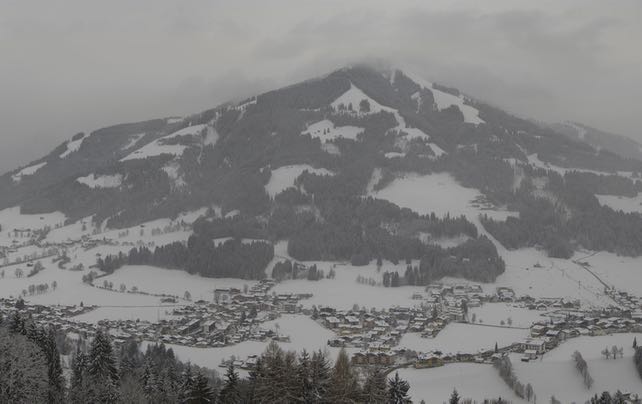
In Austria, the clouds are only just beginning to lift, as you can see from this webcam shot of the Choralpe, above Westendorf, in the Skiwelt.
The outlook is for the chilly weather to continue until Wednesday afternoon – only with less wind and more sunshine. Families will need to wrap up warm, but they’ll also enjoy consistent conditions from top to bottom in their resorts. Then, there’ll be a marked thaw, and on Thursday we’ll see rain up to resort level in many places, accompanied by strong winds.
The weather will settle down again on Friday, but this time it’ll feel more like spring than mid-winter when the sun comes out.




Add Comment