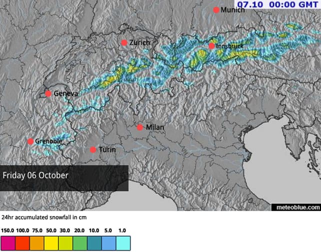
Snow is falling this evening in the eastern and central Alps and looks set to continue until the morning. It follows a dusting on Thursday night, and means some parts of Austria and Switzerland will have notched up 30cm by midnight.
Here’s today’s snow forecast for the Alps to give you an idea of what’s expected where.
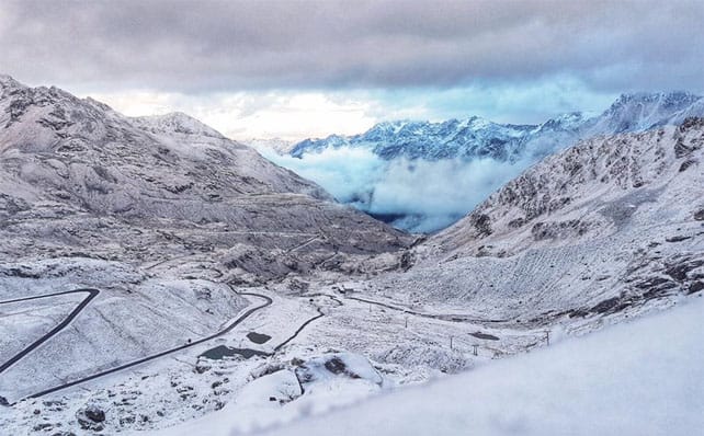
As you can see from the shot below, taken in the Kaunertal this morning, it’s been chilly too, with the snow settling at lowish altitudes for the time of year. The daytime freezing point was in fact down to 1700m in places.
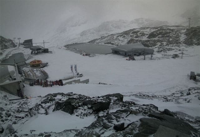
Here’s how it was looking this evening below the Pitztal glacier. The snowfall is still fairly light, but should gather pace as night falls.
I’m thrilled. I’m due to be skiing on the Hintertux glacier next week, at the far end of the Zillertal, not far from Mayrhofen. Already, there’s 70cm of snow bedded down on the highest slopes there, and 31km of pistes will be open. Conditions are excellent, given we haven’t reached mid-October yet,
I’d better do some more squats.
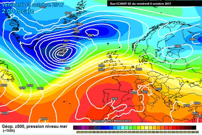
There’s going to be more snow over the weekend, but it’s going to be lighter, and the trend is towards more settled conditions as next week unfolds. The danger is that high pressure will settle over the region, and dominate the weather for several days, as well as sucking up warm air from the south. The chart, below, from European Centre for Mid-Range Forecasts suggests the thaw could be quite sharp. But it’s too soon to be sure of it.

So, as ever, autumn progresses in fits and starts. This new snow confirms Austria’s place as the pick of the glacier-skiing destinations at the moment, although how long that continues is anyone’s guess.
Let’s hope we get another bout of unsettled weather like this soon, and in the meantime, if you fancy a pre-season burn, make sure you build a lot of altitude into your plans. The only place to be skiing at this time of year is at 3000m, or thereabouts.


Add Comment