At the beginning of the week, the Alps were basking in warm, late-summer sunshine.
Now look…
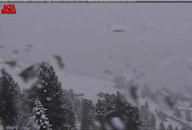
The webcam shot, above, was taken this evening in the Italian Dolomites, near Corvara. Heavy snow is expected here as well as in the Val di Fassa and Val Gardena.
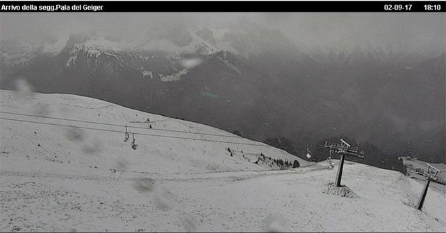
Here’s how it was looking above the mountain resort of Canazei, not far away.
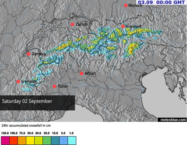
Today’s snow forecast suggests that by midnight 30cm of the white stuff will have fallen in quite a broad area around the Sella massif, and we can expect similar amounts in parts of Austria and Switzerland.
The picture below was taken in Solden in the Tirol, earlier today.
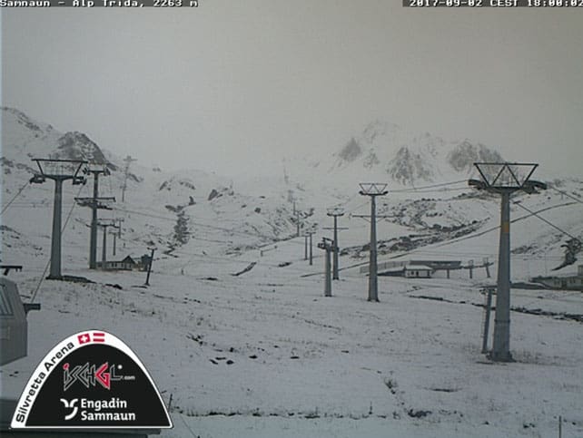
This was part of the ski area Ischgl shares with its Swiss neighbour Samnaun.
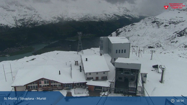
Pictured below is the Corvatsch sector of St Moritz’s ski area in Switzerland.
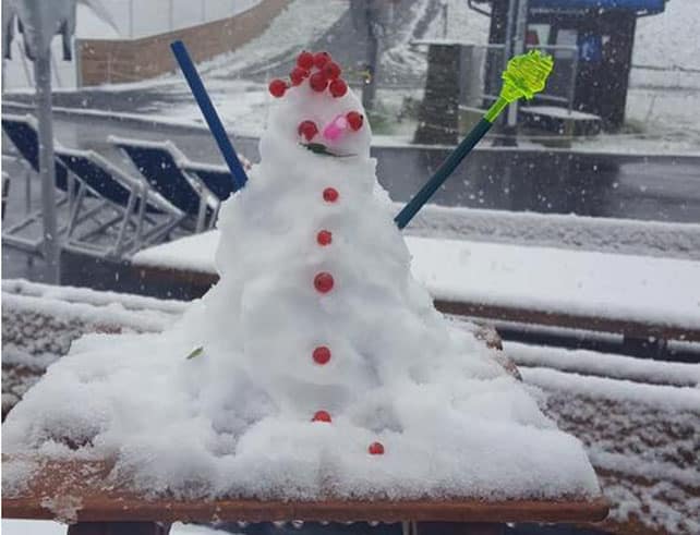
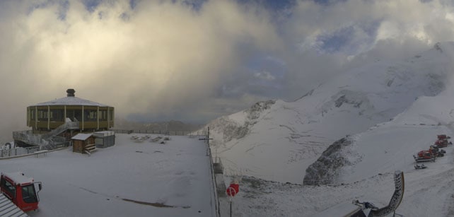
And this was taken at the top of Saas-Fee this evening.
Further west, in the French Alps, there has been some snow too – and the Col de l’Iseran was closed above Val d’Isere last night as a precaution. But generally, the snowline has been higher and accumulations lighter.
This is rather early for the first September snow, compared to recent years. What’s more, it looks as though – after a thaw on Monday or Tuesday – the weather will be quite cool and changeable this week. But we can’t read anything into this. There’s still a lot of hot air just to the south of Europe, and a change in wind direction will bring it flooding back over the Alps. Even if the coming winter does get off to a good start, we can expect plenty of mild and sunny spells beforehand.
So don’t start sharpening your edges just yet – unless you’re planning on skiing one of the glaciers…




Add Comment