


You’ve probably heard that last week ended with a sudden switch to autumn in the Alps. Last Tuesday, the August sun was blazing and the daytime freezing point was up above 4000m. But by Saturday evening it was snowing down to 2200m in places.
The snow was generally heavier in the central and eastern Alps than in the west, and the Stubai glacier, near Innsbruck, reckoned it had about 40cm of the white stuff as a result. This was how it looked earlier today.
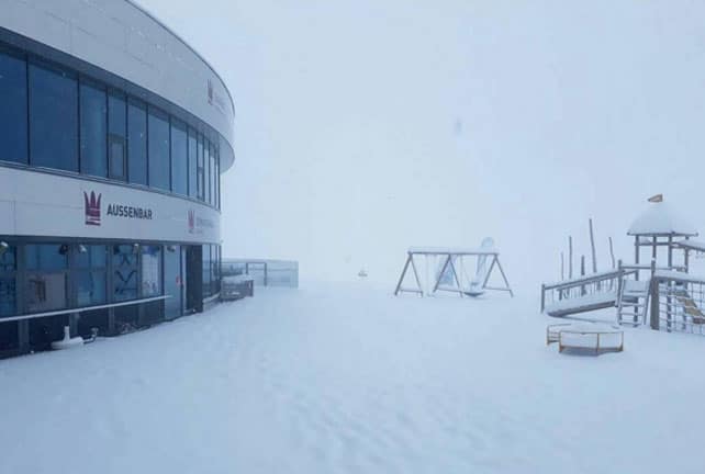
The Stubai is scheduled to reopen for skiing later this month.
Meanwhile, this was the scene in the high-altitude Hintertux ski area in the Zilltertal on Sunday.
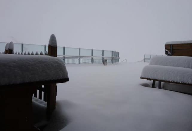
The new snow has done wonders for the cover on the Alpine glaciers – which have had a well-publicised hammering from the sun over the last couple of months. As this photo taken today on the Hintertux shows, the skiing is now much improved.
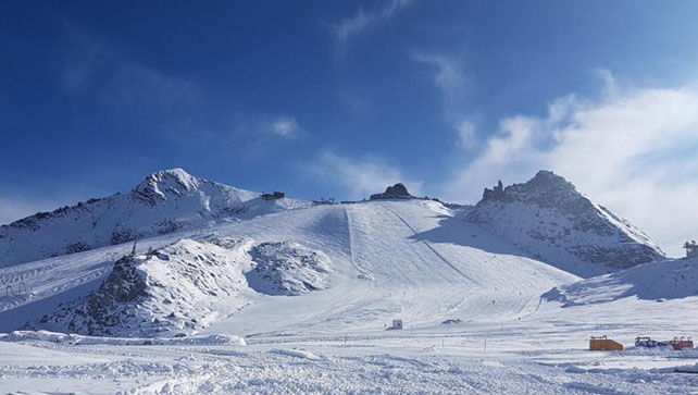
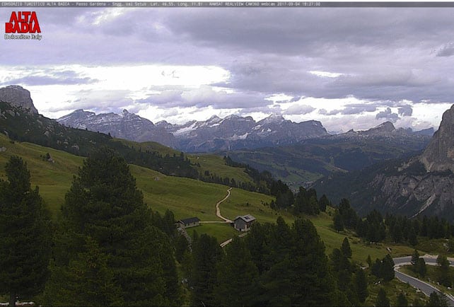
Lower down, the snow has melted quickly, as you’ll see from the next two webcam shots, taken on the Passo Gardena, between Corvara and Selva in the Italian Dolomites.
This was how it looked as the storm set in on Saturday evening.
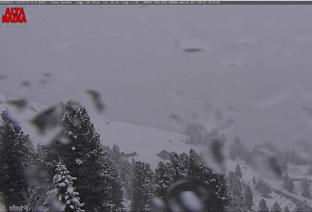
Here’s the same view this evening.
So as you can see, we’re still a long way from the start of winter.
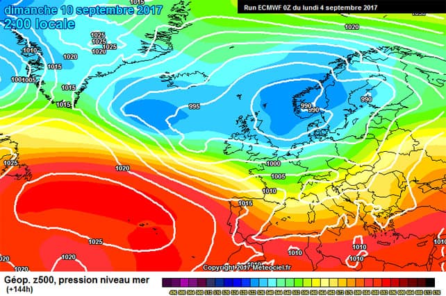
That said, it does look as though the weather in the Alps will remain changeable this week, and the mid-range forecasts are calling for heavy rain on Saturday – which should fall as snow on the highest slopes. The latest chart from the European Centre for Mid-Range Weather Forecasts is certainly suggesting another cool spell.
Let’s hope this is the start of long cool autumn, which turns into a snowy winter. But all we can do at this stage is hope. I’m afraid one or two September snowstorms tell us nothing – one way or the other.
Meanwhile in the southern hemisphere…
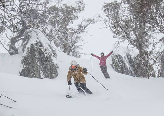
All hail the Blizzard of Oz 3.0! The third big storm cycle in a month is underway in the Snowy Mountains of Australia, and some are predicting a metre of the white stuff by the time the clouds lift. If it delivers, it’ll be a huge boon to the Australian resorts as they roll into spring, freshening up the cover and tempting everyone out for one last weekend before the lifts close. Perisher has already postponed its closing date as a result.
In New Zealand, they’ll be casting jealous glances in Australia’s direction. The Queenstown resort of The Remarkables last had snow on August 21, and has had an unremarkable season. The cover there is 40-80cm deep across the resort. Contrast that with Mt Hutt, which is nearer Christchurch and has up to 350cm of settled snow across the slopes. The latest top-up, of 20cm, came on September 1. The difference in conditions across the South Island is one of the defining characteristics of this year’s NZ ski season.
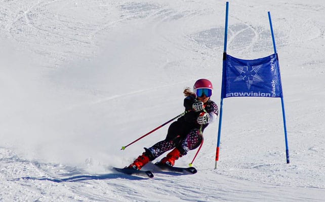
Clearly, there was some cracking skiing on Mt Hutt today…
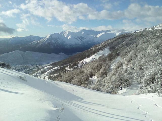
Meanwhile, in South America, the southern end of the Andes is also having a snowy winter – much to the delight of skiers at Catedral Alta Patagonia, near Bariloche. The latest dump was on September 1. Here’s how it looked the following day.


Add Comment