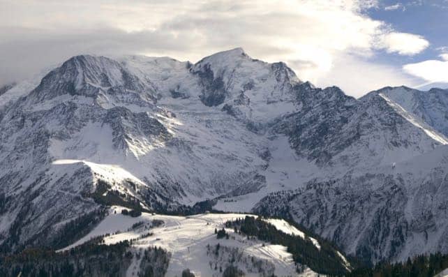
It’s going to be a mild Christmas in the Alps. An area of high pressure has drifted in from the Atlantic, and pulled a lot of warm air with it. Temperatures are rising, and will peak on Sunday, with the daytime freezing point around the 2800m mark in the western Alps and maybe even 3000m in Austria. That’s above the top lift in all but the highest resorts.
So we’re going to see conditions which are almost spring-like for a couple of days. Slopes that get a lot of sun will be a bit slushy by the end of the day, before refreezing overnight. If you want to find soft, squeaky, wintry snow, you need to target north-facing slopes above about 2500m. Those in search of powder, off-piste, will need to look for sheltered slopes as well. Strong winds have been scouring more exposed sections of the mountains.
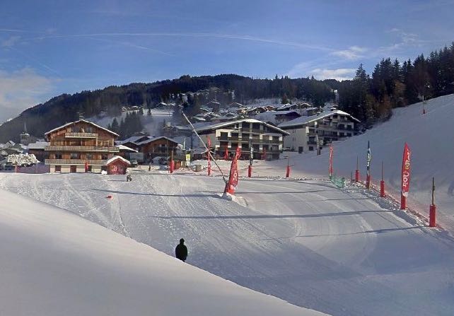
That said, there’s no danger of snowless pistes of the kind we’ve seen in recent years. In the wake of the wonderfully cold and snowy weather of November and early December, there’s plenty of cover. At 1200m in Les Gets in France, for example, there’s 70cm packed down on the Front de Neige, and 120cm higher up. Here’s the scene there this morning.
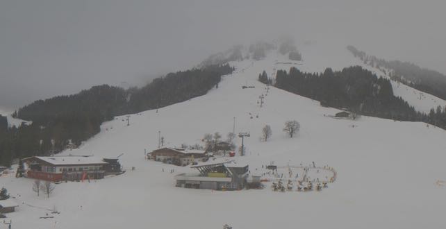
In the Skiwelt in Austria, there’s 50cm of settled snow on the valley runs at 700m and 130cm on the higher runs, and it’s actually still snowing there today. Here’s a webcam shot from earlier today.
Meanwhile, in the Arlberg in Austria, St Anton reports 70cm of snow on the lowest pistes at 1300m, and very nearly three metres on the Valluga at 2600m. In Val d’Isere in France, there’s 106cm at 1800m and 175cm of the white stuff at 3000m. Val Thorens has 130-240cm of cover, and Engelberg in Switzerland has 251cm mid-mountain and over four metres at the top.
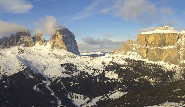
On the southern side of the main Alpine ridge, the cover isn’t as deep. But in the long cold spell earlier this month the snow cannons were working hard, and the pistes are all in good nick. Cervinia has 50-100cm of cover on-piste, and above Canazei in the Dolomites there’s 30-130cm of snow. Here’s how the Saslong and Sella Massif are looking there this morning.
So there’ll be plenty of skiing – and lots of sunshine too. Skiers who don’t like icy conditions should adopt spring-skiing tactics, and wait until the sun has warmed the snow up a bit each morning. If they get their timing right they’ll enjoy a smooth, grippy surface that’s almost as gorgeous as mid-winter snow.
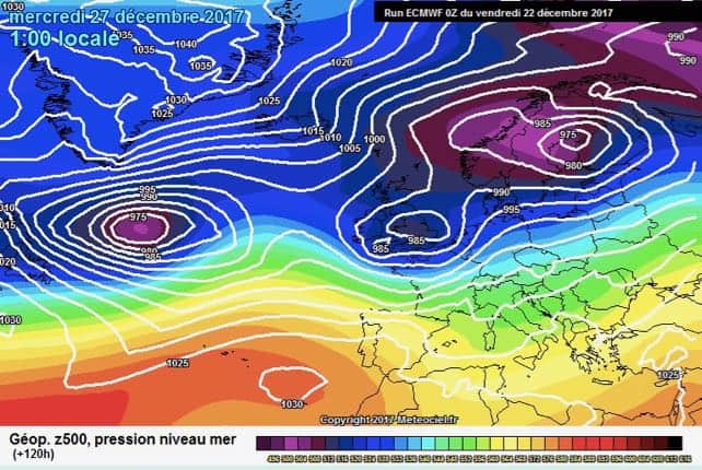
The weather will start to change on Tuesday – although it’s not quite clear yet just how cold the weather will get. The wind is due to pick up, and it will blow from the south-west to start with. But it should swing into the west, and then, we hope, become more north-westerly. We could see significant snow falls from Wednesday, but it’s not a dead cert yet, and there may be rain in the lower resorts to start with.
This is the latest chart from the ECMWF for Wednesday next week.
This is the last snow report before the holidays, so in the meantime, Snowfiends, have a very happy Christmas! May all your mince pieces be served with brandy butter and double cream…




Add Comment