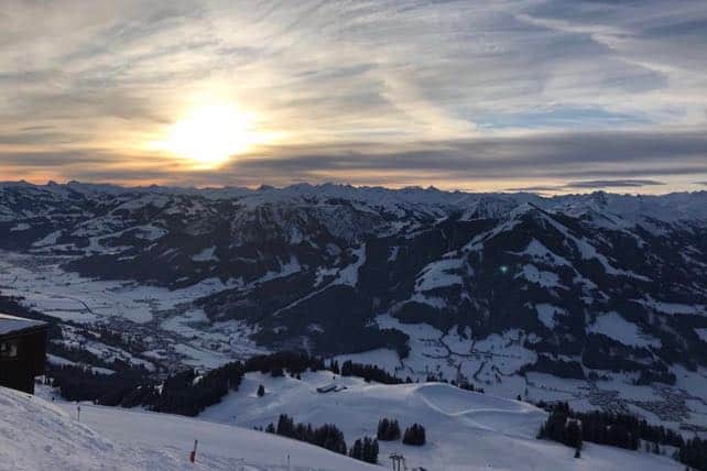
In the Alps, the run-up to the February half-term holiday is going to be chilly but not snowy.
It feels like region’s pausing for breath: and after the meteorological intensity of November, December and January, it could do with a break. Today was a little bit cloudy, a little bit sunny and generally very good for piste skiing, provided you avoided slopes that had been scoured by yesterday’s wind. On the most wind-blasted slopes, the cover was almost bullet-proof. Elsewhere, at altitude, it was soft and squeaky.
Off-piste, conditions are varied, to say the least. Across the northern Alps, the depth of the snowpack varies between good (in the east) and excellent (in the central and western regions). But essentially it’s pretty hard, and recent snowfall has been hustled into isolated drifts which you need to search out in the company of a guide. Some of these drifts are unstable too, and the avalanche risk was 3/5 in many French resorts today as a result.
The best thing about the current weather is the temperature. It’s been cold but not frigid for a week now, and it’s likely to remain so until next Thursday. So the snow will be in good nick for the February half-term crowds, if a little hard on some exposed pistes.
Courtesy of the rather lovely Hotel Fitzroy, I’m in Val Thorens again this week, and look who I took a couple of runs with this morning…
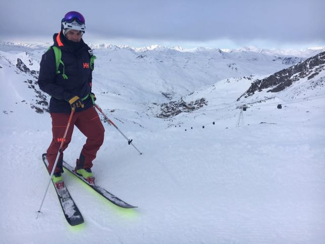
It’s only Aurelien Ducroz, former Freeride World Champion. I’ll be skiing with him some more tomorrow. Like everyone else, we’ll have to look hard for soft snow off-piste – but even blasting down empty low-season pistes with him is inspiring. I can’t wait.
Meanwhile, the western end of the Italian Alps there’s been some fresh snow today, and there’ll be a sprinkling over the Italian Dolomites tonight as well. This’ll be added to the snow that fell across the region on Sunday.
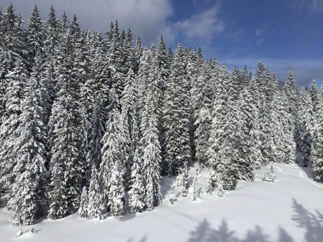
Here’s how Madonna di Campiglio looked on Monday, after the weekend snow.
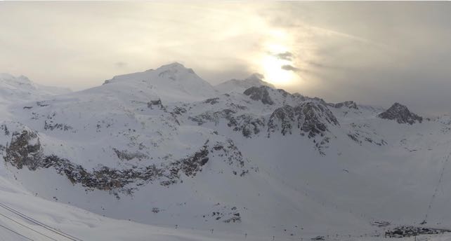
And this was the scene between Val d’Isere and Tignes in France this evening, looking towards the Grande Motte.
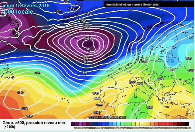
Finally, here’s the first sign of significantly warmer weather in the ECMWF’s mid-range forecast – next Thursday, February 15. It’s too far in advance to be sure of such a prolonged cold spell, but a good sign for anyone skiing next week in one of the lower resorts.


Add Comment