It’s been a white-knuckle day in parts of the Alps. The avalanche risk is up to 5/5, resorts have been cut off and safety measures are in place which haven’t been seen since 1999.
Large parts of the northern Alps have been affected by heavy snow, strong winds and yo-yoing temperatures. But one of the tensest situations today has been in western Austria. In the Tirol, all transport links with St Anton and Ischgl were shut because of the avalanche risk (in all, 30 roads have been closed). In parts of the region, the avalanche risk is at 5/5 for the first time since the Galtur disaster.
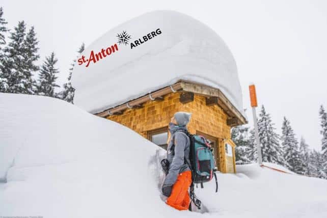
Pictured above is how St Anton looked earlier today. There’s now 170-430cm of snow bedded down on the slopes, and an emergency website has been in operation today. It had the following message for guests this morning.
Dear visitors, we are currently in an emergency situation. Exceptional circumstances require exceptional measures. The Emergency Committee is doing everything to make sure that all villages (in the holiday region St. Anton am Arlberg) and all people currently residing in the affected areas stay safe.
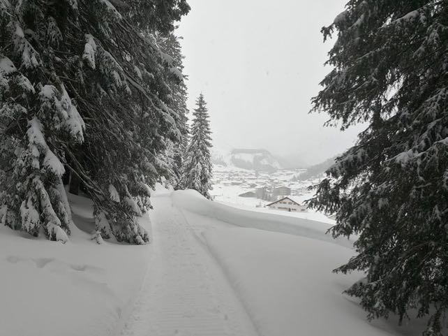
This was the scene in neighbouring Lech last night.
The latest bulletin from the Tirol’s avalanche service says, “The avalanche situation in Tirol is critical, avalanche danger is high over widespread areas.” It’s warning of naturally-triggered slides that “can fracture down to more deeply embedded layers inside the snowpack and grow to large size”.
Zermatt in Switzerland has also been cut off today, and Saas Fee has shut all lifts and pistes. In a broad swathe of the central and western Swiss Alps, the avalanche risk is at 5/5 as I write.
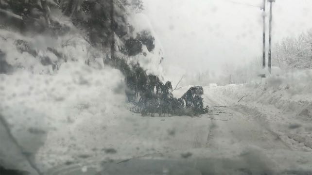
In the Tarantaise in France, the road from Val d’Isere and Tignes to Bourg St Maurice was closed overnight and closed again this afternoon. Radio Val d’Isere is, as ever, the most up-to-date source of information on the subject, and Tweeted this photo of driving conditions on the road down to Bourg this morning.
For the fourth time this year, the hamlet of Le Fornet has been cut off from the rest of the resort. The avalanche risk in the resort is 5/5, as it is in the Three Valleys.
Heavy rain is also complicating the picture. In the Three Valleys, for example, the snow is getting very heavy below 2500m and sits on top of an unstable surface, which is increasing the avalanche risk. Up high, the drier snow is likely to trigger, too.
Here’s today’s snow forecast, which shows how heavy the snow has been at altitude. This is the seventh day of stormy weather in the region.
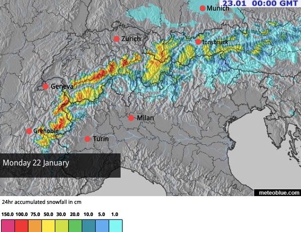
Fortunately, skies are going to clear tomorrow, the choppers will be able to fly, and the snow-blasting crews to get to work. There’s already been plenty of blasting by the fixed equipment: but the teams need to get a good look at the snow themselves to see where the heaviest snow has accumulated.
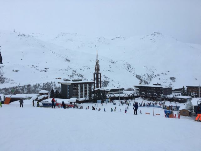
Across the northern Alps, in the resorts which have been open, skiing has been limited, and for many, despite the epic quantities of snow at altitude, it’s been a day characterised by rain. That was the case for two of our editors, Peter and Felice Hardy, who are in Les Menuires at the moment. Pictured below is the centre of the resort earlier today. Tomorrow morning, once the sun comes out, the resort’s broad pistes will be a lot more inviting.
Clear weather and spring-like temperatures are forecast for Tuesday and Wednesday, and whilst that should help the snowpack to settle, there will be plenty of natural discharges of snow in the warmth. Everyone in the Alps needs to pay close attention to local directives and avalanche warnings.
More of the white stuff is expected on Friday, but it won’t be as heavy as this latest storm, and should be followed by clear skies at the weekend.
Stay safe, everyone!




Add Comment