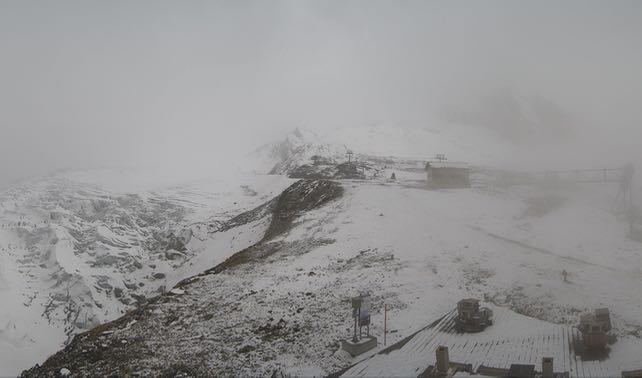
As you’ll see from this Saas-Fee webcam image, there’s a dusting of snow along the main Alpine ridge today. It’s almost a repeat of the snow we saw there on October 11, and once again it favours the western and central sectors. But I’m afraid that just like the last sprinkling, the snow won’t last. Warm, sunny weather is expected tomorrow and by Wednesday the daytime freezing point will be hovering between 3000 and 3500m.
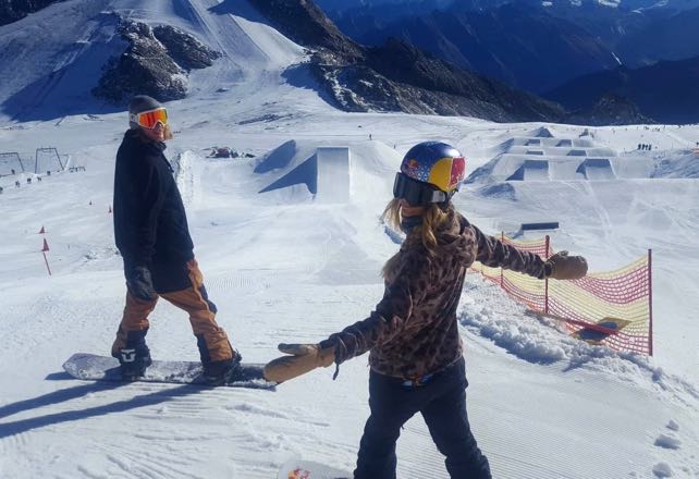
Up in the glacier ski areas conditions are okay, thanks to strenuous work by snow-grooming teams. Pictured below was Hintertux last week, when Austrian snowboard star Anna Gasser was training on its snowpark.
Meanwhile, this was the glacier above Tignes yesterday. The French resort has announced that skiing will start up here on Wednesday.
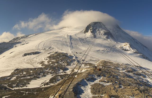
However, it’s worth pointing out that Tignes originally scheduled the opening of its glacier for September 28. It’s not the only high-altitude ski area that postponed its opening this year (Sölden did the same): a reflection of the very mild, dry autumn the Alps have had so far.
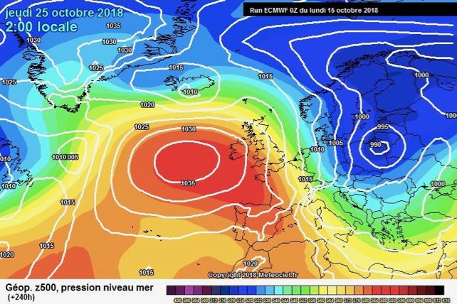
In the short term we can expect more of the same. The weekend in particular is likely to be warm. But there is some hope that the latest area of high pressure to dominate the scene will shift westwards on Wednesday or Thursday next week. This is by no means certain yet: but if it does, it’ll allow a blast of cold, humid air down from the Arctic with snow the likely result.
Here’s the current prediction for October 25 from the European Centre for Mid-Range Weather Forecasts.
If it does comes, it may disrupt the opening races of the FIS World Cup, on Solden’s Rettenbach Glacier, on October 27-28. But only diehard racing fans will be disappointed. The rest of us will be delighted to see some proper autumn snow. Will it signal the a decisive shift away from all this warm weather? I wouldn’t bank on it. If you’re planning some early-season skiing, aim high.
Meanwhile, in North America…
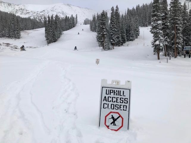
In contrast to the Alps, the American Rockies have turned chilly at just the right moment. There was snow last week and over the weekend too. Here’s the how Arapahoe Basin looked yesterday.
And this was the snow gauge in Loveland, which reports nearly 30cm of snowfall so far this autumn, on top of the work done by its snow cannons.
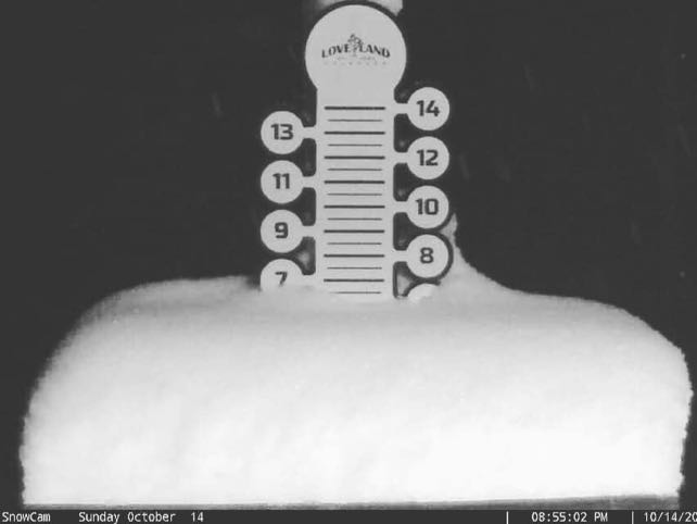
Neither has opened yet, but both seem confident the lifts will be running before the end of the month.




Add Comment