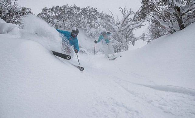
Smiles are a mile wide in the Snowy Mountains of Australia, thanks to a series of weather fronts dubbed The Blizzard of Oz. They’ve brought four days of snow, and in the mountain resort of Perisher they reckon 100cm has fallen so far. In Thredbo this morning, they estimated 75cm of new snow in two days and 130cm over the course of the last week.
Here’s a little taste of the conditions in Thredbo, filmed on Sunday.
ARVE Error: For the maxwidth (maxw) option you need to have normal or lazyload mode enabled, either for all videos in the plugins options or through shortcode e.g. [youtube id=123456 mode=normal maxw=999 ].
One of the best things about this storm is the fact that it’s been accompanied by temperatures low enough to keep the snow dry and powdery. It’s likely to get heavier on Thursday as the weather warms up: but there’s another cold snap on the way at the end of the week, when more snow is expected.
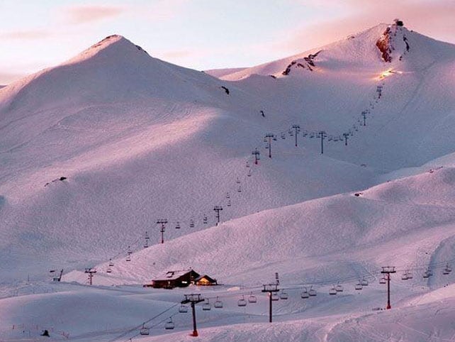
Needless to say, the place to be skiing right now is Australia – though the resorts of the Andes might snatch its crown at the end of the week, thanks to a low pressure system that’s due to work its way up the range starting this afternoon. It should reach the resorts near Santiago by Wednesday. Heavy snow is expected – and will be most welcome, as Valle Nevado and other central resorts haven’t had a proper dump for a couple of weeks.
Here’s how Valle Nevado looked last night.
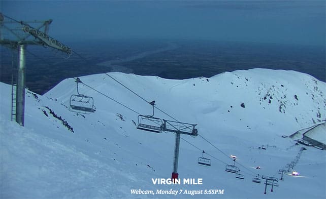
In New Zealand the resorts are in good condition despite seven days of mostly dry weather. However, a mild spell is on the cards now. Mount Hutt, near Christchurch, is the resort of choice at the moment. It currently has 244-276cm of snow bedded down on its slopes.
Pictured below is how Mount Hutt looked on Monday evening.
Meanwhile, in the Alps…
SCORCHIO.
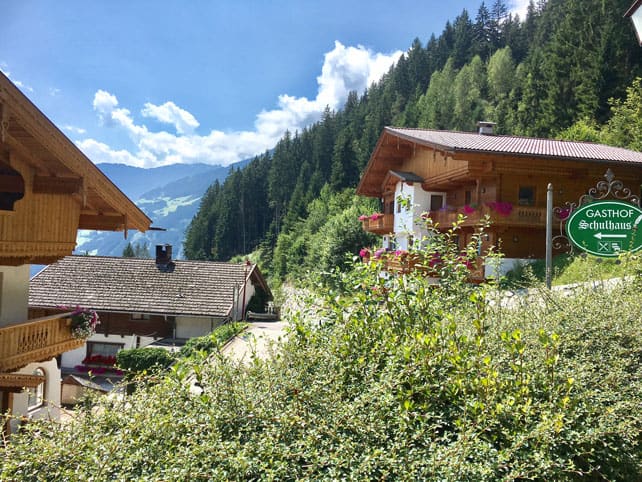
The Alps have not been immune from southern Europe’s heatwave. Two of our editors, Peter and Felice Hardy are currently in the Tirol in Austria and during the course of the last six days they’ve reported temperatures of 39C in the Zilltertal, and the occasional spectacular thunderstorm.
Here’s how the valley looked on Friday.
39C in an Alpine valley! The glacier ski areas have taken a hammering as a result, and are looking pretty grey and uninviting at the moment. But those who’ve come to swim in the lakes and take the odd gentle walk have been lapping it up.
Now, the weather is set to cool down – and quite sharply too. In the Austrian Alps, the daytime freezing point is going to tumble from 4400m to 2400m on Friday, and there’s even some snow in the forecast…
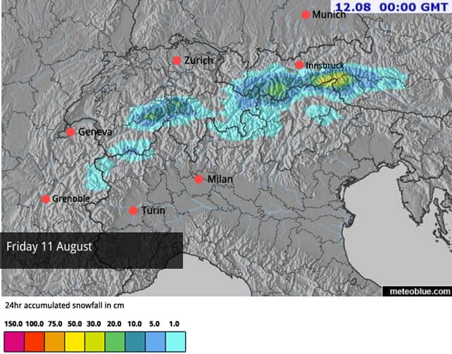
However, according the European Centre for Mid-Range Weather Forecasting, temperatures are likely to recover on Sunday and next week will start very warm.
For more on the summer scene in the Alps, check out our new summer section.




Add Comment