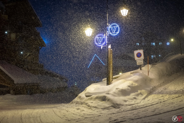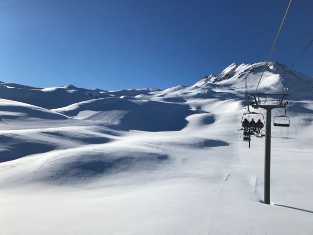
Thank goodness. The French Alps got some snow this week, which has perked up the pistes no end. In the north, over the Portes du Soleil, they had about 30cm on Tuesday and Wednesday. The Chamonix valley had about 20cm, and in the Tarentaise (home to the Courchevel, Val d’Isere et al) about 15cm fell. It’s been cold too, so the snow has settled to down to the valley floors.
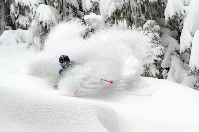
However, you wouldn’t call these snowfalls heavy. What’s more, on the lower slopes, they’re lying on a thin, hard-packed underlayer, which will start to re-emerge as the new snow is scraped away by passing traffic. So wrap up warm, stay high – and stick to the deeper, softer cover at altitude. This photo, posted this morning in Val d’Isere by John Yates-Smith of YSE, shows you what’s waiting if you know where to look.

By contrast, they’re desperate for the snow to ease up in Austria and eastern Switzerland. Here, the white stuff has been falling almost continuously since December 30. As a result, across the Tirol the avalanche warning is almost universally 4/5 today, which precludes any off-piste skiing. Even so, Austria has seen a steady run of avalanche fatalities in recent days. Be careful if you’re skiing there now or in the near future, and take all avalanche warnings seriously.
The snow depths tell their own story. Above St Anton, there’s now 445cm of settled snow on the Valluga, and 230-330cm mid-mountain. In the Tiroler Zugspitz Arena, there’s 170cm mid-mountain, and 325cm of snow at the top. Meanwhile, the Nordkette above Innsbruck is closed again because of the avalanche risk.

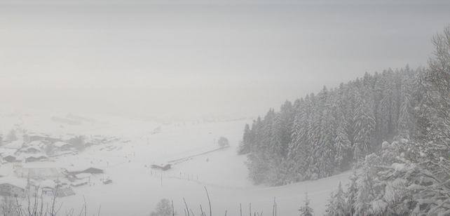
Pictured above is how it looked earlier today above Ellmau in the Skiwelt. When the skies do eventually clear, and the snow settles….wow. However, there’s now sign of an immediate change in the weather.
Meanwhile in North America…


Add Comment