


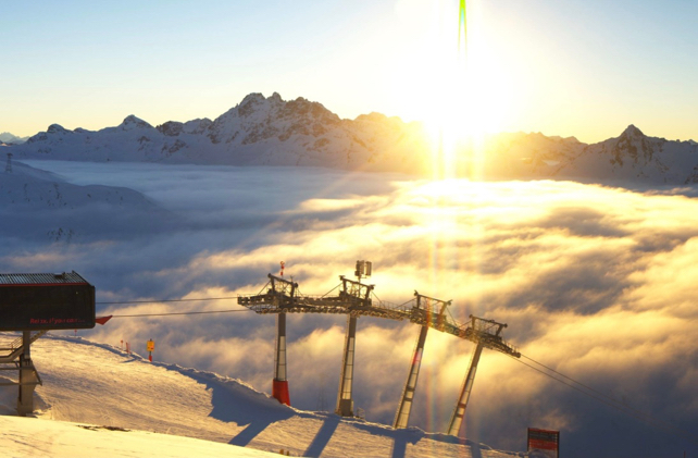
After more than two weeks of almost continuous snowfall – and several fatal avalanche accidents – the clouds in the eastern Alps finally lifted last Wednesday. What’s more the snowpack settled very quickly, and now in many areas the avalanche risk is 2/5. That’s not “safe” by any means. But it’s a lot more manageable than the 5/5 we saw in eastern Switzerland and Austria on January 14.
The result has been a fabulous six days of skiing: summed up by the photograph, below, taken by one of the guides at Piste to Powder in St Anton on Saturday.
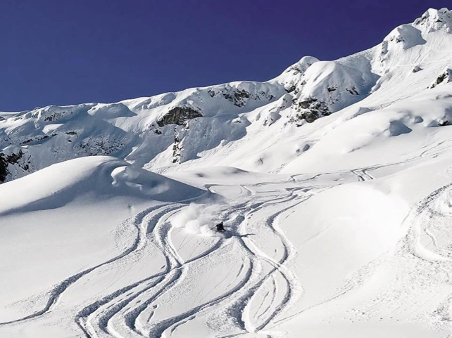
Meanwhile, this shot was taken in the Skiwelt last Thursday.
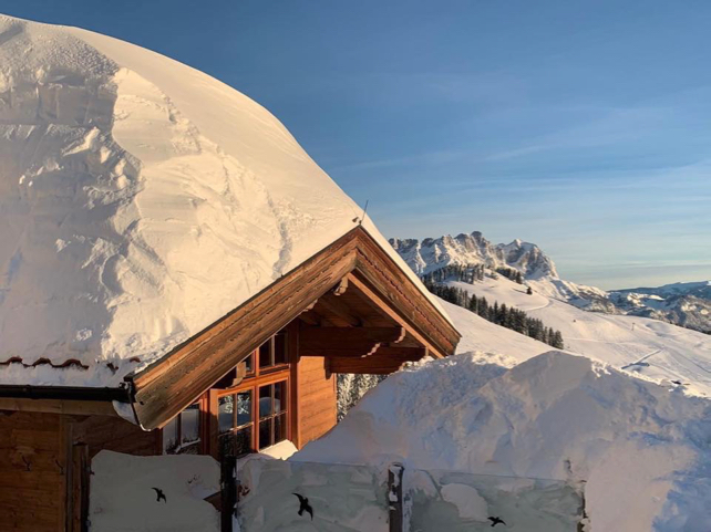
What’s more the snow is going to stay in tip-top condition, thanks to a prolonged cold spell. Top temperature in Lech today, for example was -3C. Tomorrow, it won’t top -5C, and on Wednesday it’ll be -6C. The next significant snowfall is likely to be on Saturday, and it’ll come from the north-west, so it’s going to settle in the valleys again.
There’s been good skiing this week in the north-western Alps too, thanks to heavy snow over the weekend of January 12 and 13.
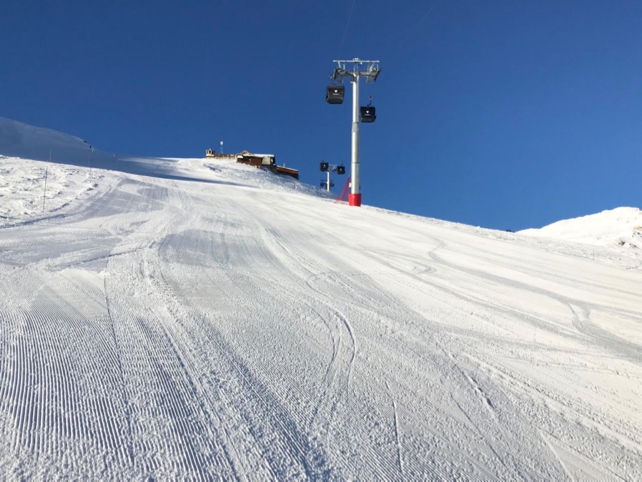
Here’s how it looked on piste in Val d’Isere first thing this morning.
Here too, the avalanche risk is mostly 2/5, and it’s going to stay cold – with the daytime freezing point no higher than 300m. More snow is expected too – though it’s likely to be patchy and fairly light, until Sunday at least. (Heavier and more consistent snowfall is expected in the Pyrenees.)
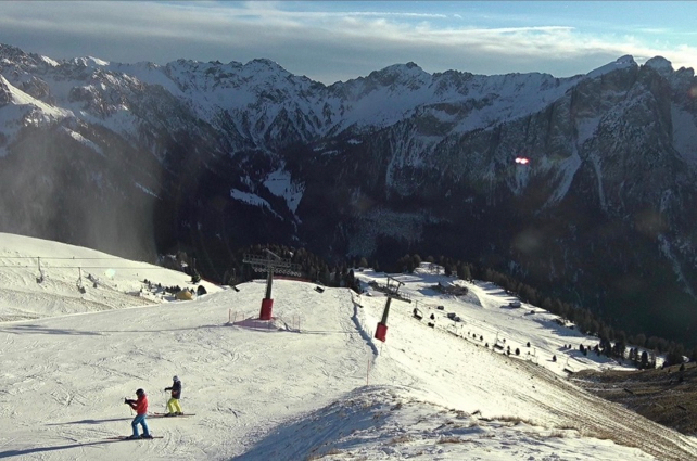
Meanwhile, Italy continues to have a very different January. Yes, it’s cold: but also much drier. It’s a good thing the Italian resorts have such good snow-making systems: as you can see from this shot above Canazei in the Italian Dolomites. On piste, the snow is deep and soft. Off-piste, the cover is much thinner.


Add Comment