At last! Winter seems to be waking up in the Alps. After a long spell of mild weather in Europe, a series of cooler weather fronts are expected across our favourite mountains.
Snow will start falling at altitude in the French and Swiss Alps this afternoon – and will settle down to 1800m for a time in the west.
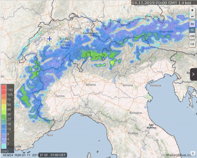
But the really big dump is expected on Sunday – as you’ll see from this snow forecast from our friends at Meteoblue.

Before that, temperatures will be yo-yoing about and there’ll be heavy rain at times – as well as tempestuous winds. But on Sunday night the mercury is forecast to drop sharply. On Monday morning, there’ll be snow at village level in many resorts.
What’s more, it’s going to stay pretty cool over the Alps next week, and we’re likely to see more snow. Meteoblue’s forecast show the white stuff falling, on and off, till next Friday at least.
All of which is good news for the glacier ski areas and high-altitude resorts. Up there, the autumn ski season is well underway. Once skies clear and the wind drops, there’ll be some excellent skiing to be had in these early-season resorts. The pistes are likely to remain in good nick now too – even though we’ll probably get more mild spells before the end of the month.
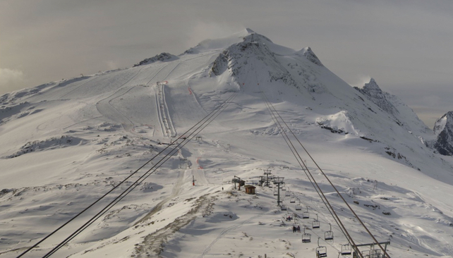
Here’s how it was looking on the glacier at Tignes today.

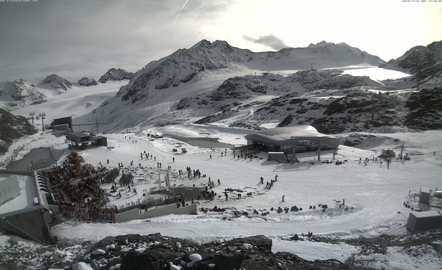
And this was the scene in the Pitzal in the Austrian Tirol.
Meanwhile, across the Atlantic, the Rocky-Mountain resorts of the USA and Canada are looking forward to strong starts to their seasons, thanks to a record-breaking October. In Colorado, for example, Breckenridge has reported its highest-ever October snowfall – 120cm, and opens for skiing on November 8. In Banff National Park, Lake Louise is opening today – a week earlier than normal.
If you haven’t started your ski fitness programme yet, now might be a good moment…


Add Comment