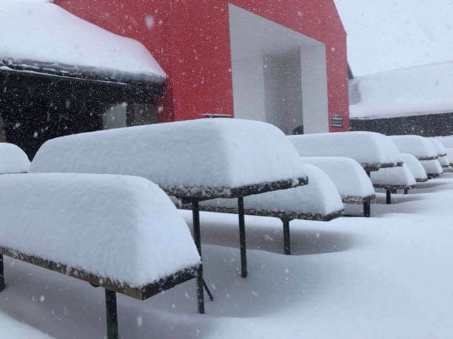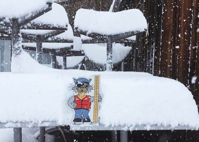
The end of the ski season is fast approaching in the South Island of New Zealand. But Mother Nature is signing off in style. She’s just dumped over half a metre of snow on some of the island’s ski resorts.
Treble Cone, above Lake Wanaka, will be one of the first ski areas to close, on September 23. But by the end of today’s skiing, 60cm of snow had fallen on its slopes. Expect a powder party once its avalanche teams have made them safe.

In other NZ ski resorts the snow hasn’t been quite so heavy – Cardrona nearby reckons it has had 35cm of could, dry powder, and The Remarkables about 30cm. Cardrona doesn’t close until October 14. Let’s hope the next few weeks see more of these chilly southern storms. In the week before this new weather front blew in, spring had a firm grip on the Southern Alps.
Elsewhere in the southern hemisphere, the season is also winding down. Several ski areas in the Andes near Santiago have already closed due to a long mild spell, and even Valle Nevado is looking threadbare. Still, the weather’s been perfect for dancing…

Meanwhile, there are two weeks left to run in Thredbo in the Snow Mountains of Australia. Here’s a video summary of the last week’s spring conditions.
https://www.youtube.com/watch?v=PyxF2NcSews
The lifts here are due to stop running on October 1.
Meanwhile, in the Alps…
Warm air continues to flood across the Alps, and in the late-summer sunshine the daytime freezing point is nudging 4000m. In other words, it’s much too warm for mid-September. There should be a short-lived taste of autumn this coming weekend, when a cold front drifts into the eastern and central Alps. But it’s likely to be followed by more warm sunshine next week, and the mid-range forecasts aren’t suggesting a significant change in the weather till the end of the month at least.
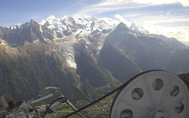
Here’s how Mont Blanc looked from the top of the lifts at Brévent, above Chamonix this afternoon. A good day to be trail-running or mountain-biking…

Fancy an early-season ski trip? Check out our guide to the best high-altitude resorts for tips on where to travel.


Add Comment