


Heavy snow is falling in parts of the Alps.
Eastern Switzerland and Austria are getting the lion’s share. For example, on the glaciers above Solden in the Tirol, they’ve had 30cm so far. Here’s how it was looking earlier this morning in Hochsolden at 2000m. It’s still snowing hard at altitude (though there’s rain lower down in the valley), and it should continue into the afternoon.
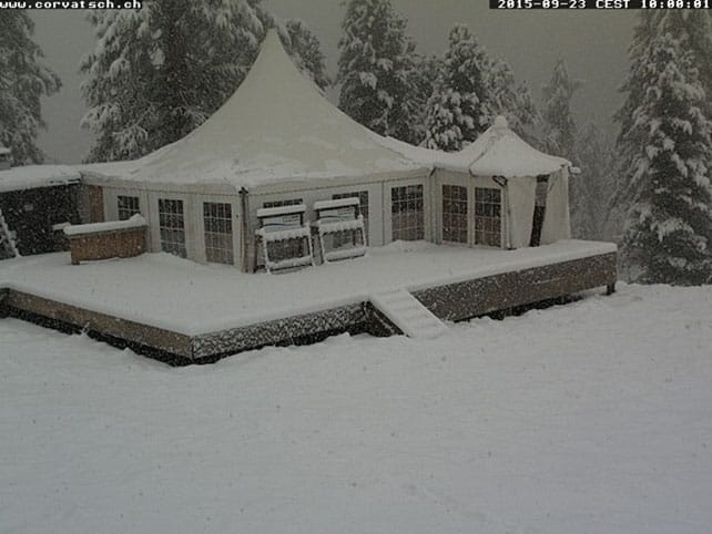
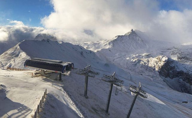
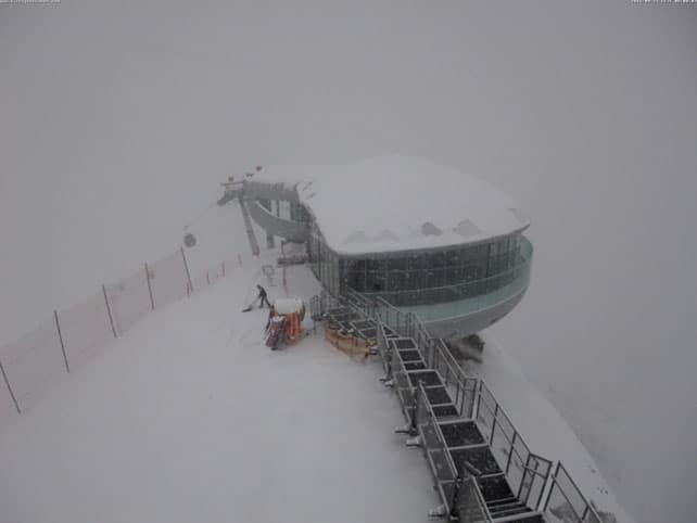
In St Moritz, in south-eastern Switzerland, they reckon on 30cm in the mountains so far and 10-20cm in town. Pictured below is the scene earlier today on Corvatsch.
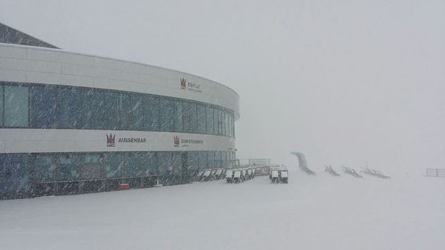
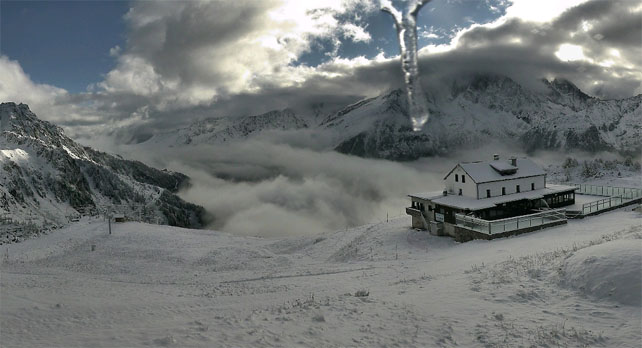
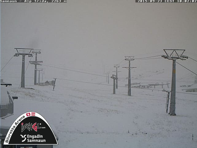
Meanwhile, further east on the Stubai Glacier (pictured below), south of Innsbruck, they had 10cm overnight, and it’s forecast to snow hard until the afternoon.
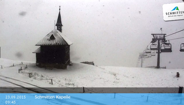
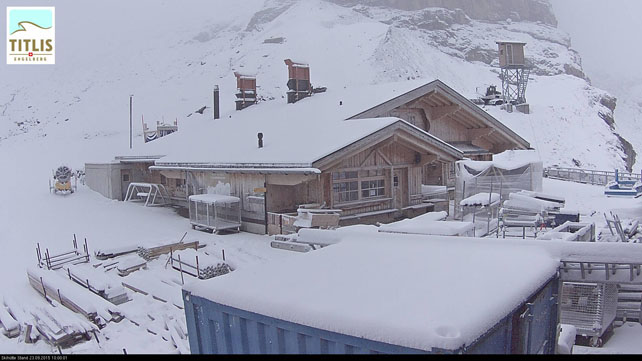
Below you can see the snow starting to settle at 2000m, on top of the Schmitten above Zell am See.
Just south of here, on the Grossglockner massif, there could be half a metre of snow before the storm blows itself out. That’ll be good news for the Kitzsteinhorn glacier, nearby.
There’s been snow further west, although it’s easing up now, and accumulations aren’t likely to be so deep.
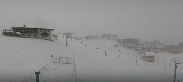
Pictured below were the slopes above Tignes this morning, in the Espace Killy, France.
And this was the Brevent sector of Chamonix’s ski area.
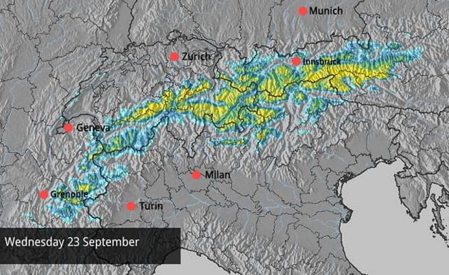
Here’s the latest Welove2ski snow forecast for the Alps for today, which gives you an idea of the accumulations we can expect from the storm.
As I said in yesterday’s Snow Report, the new snow is great news for the glaciers, which all need a dump like this to get them into shape for the autumn glacier-skiing season. Actually, they could do with another 30-40cm on top of this, as their cover is thin after the hot summer. Several glaciers are already open (two of them, Zermatt and the Hintertux stay open all year), and several more are waiting for enough snow to get started. Meanwhile on October 24 and 25, the World Cup ski-racing season gets underway on the Rettenbach glacier above Solden.
But don’t expect the snow on the lower slopes to stick around for long. It is only September, after all. From tomorrow, the clouds will lift and temperatures start to rise. In France and Austria, the daytime freezing point could be up to 3400m by Friday, which is higher than the top lift station on most glaciers. So even up there, the new snow will be affected.
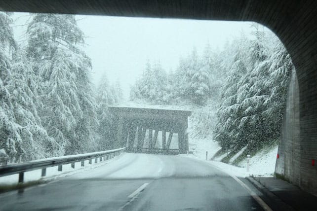
Still, we hope it’s sign of things to come. Here are a few more shots of the snow.
For details of snow conditions beyond the Alps, check out our September 22 Snow Report. We’ve got lots of tips on where to find the best early-season skiing, too.


Add Comment