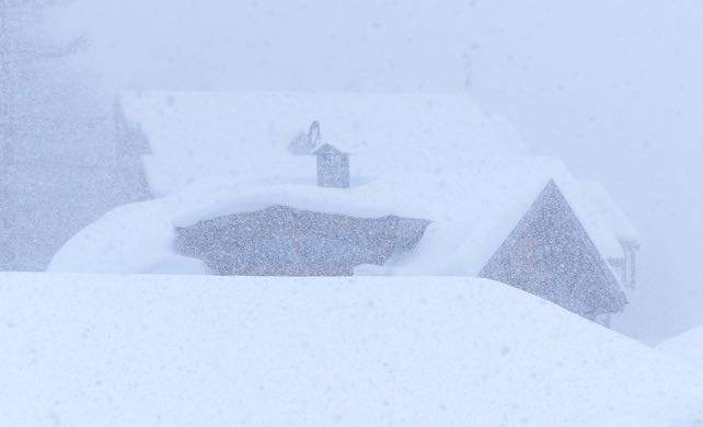
We’ve reached the moment of peak pre-Christmas snow. The miraculous 10-day storm is petering out, and a period of mild, sunny weather is on the cards, especially in the western Alps. It looks as though it will last until Christmas at least.
Right now conditions are superb, and the next couple of days of skiing will be magnficent, as the skies clear, and temperatures remain chilly. Snow depths are exceptional for the time of year. In Val d’Isere, for example, there’s over a metre packed down on the pistes at village level, and nearly two metres higher up. Courchevel has 108-130cm of settled snow, and in the Austrian Arlberg there’s 70cm in St Anton and 295cm at the top of the Valluga. In Engelberg in Switzerland they have 60cm in town, 230cm mid-mountain and over four metres on the glacier.
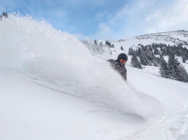
Off-pisters will need to proceed with caution, as the risk is 3/5 in many parts of the northern Alps. That said, conditions are fantastic given we haven’t yet hit Christmas – as you’ll see from this mouthwatering video shot in St Anton.
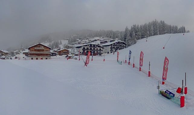
Here’s how it’s looking in Les Gets this afternoon, where there’s 70cm bedded down on-piste at village level. In recent seasons there’s been as much mountain biking as skiing at Christmas here. That seems unlikely in 2017.

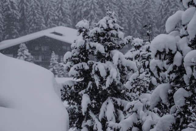
And this was the scene in the Zillertal in the Tirol earlier today.
On the southern side of the main Alpine ridge, the natural snow depths are shallower, but low temperatures are have allowed prodigious quantities of snow to made by the cannons. Cervinia has 50-100cm of snow on its pistes, and above Canazei in the Italian Dolomites there’s 30-130cm of cover. The piste skiing is excellent.
The milder weather is creeping in from the west, and it’s at this end of the mountains that temperatures will rise most sharply. In France, the daytime freezing point will be up to 2200m on Thursday, and could creep higher at the weekend. There’s more than enough snow now in the lower resorts to withstand a thaw, but it will lose its light, soft, mid-winter quality, as it goes through a daily cycle of melting and refreezing. Below 2000m, skiers might have to adopt “spring” tactics over Christmas to get the best from the conditions until the weather turns.
Currently, the mid-range forecasts suggest we could see another big winter storm around December 28 – although it’s too soon to be sure of it. It maybe be preceded by rain at lower altitudes…
Meanwhile, in the east, it will stay colder for longer, with the freezing point only reaching 1400m on Friday. According to our snow forecast, more snow is expected here on Thursday and Friday, bringing some resorts a 40cm pre-Christmas top-up.
Meanwhile, in North America…
A long, frustrating dry spell is drawing to a close in western Canada and the USA. There’s already been a little snow in Canada. Whistler reports 12cm in the last 24hrs, and Lake Louise has had 17cm overnight. The snow is likely to move down into the snow-starved American Rockies on Wednesday and Thursday.
Here’s how it was looking in Lake Louise this morning.


Add Comment