The extraordinary mid-December storm continues. It’s been snowing hard again today across much of the northern Alps, and snow depths are so far beyond recent early-season levels that it feels like we’re talking about a different range of mountains.
Except of course these wild variations in snowfall are very typical of the Alps.
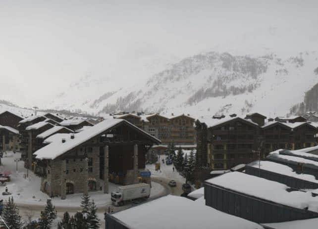
In Val d’Isere, there was 94-175cm of settled snow on-piste this morning, and that’s before you add today’s dump.
Here’s a webcam shot taken this afternoon, which gives you an idea of wintry it was there today.
In Courchevel, they’ve got 91-112cm of cover. I love this rather moody shoot from the top of the Saulire earlier this afternoon…
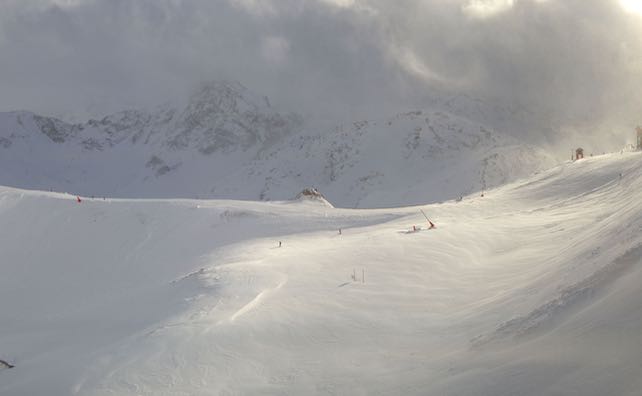
Here’s how it looked in Serre Chevalier, south of Grenoble. Note the sunshine! Serre Chevalier isn’t open this week: the season starts properly on December 16 – and they’ve already got 40-150cm of cover.
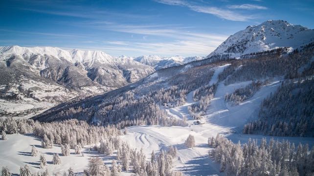
Meanwhile, this is how it looks in Ischgl in the Austrian Tirol this afternoon. Average snow depths were at 80cm this morning.
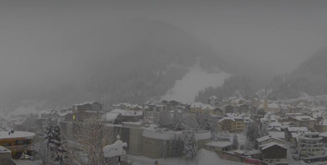
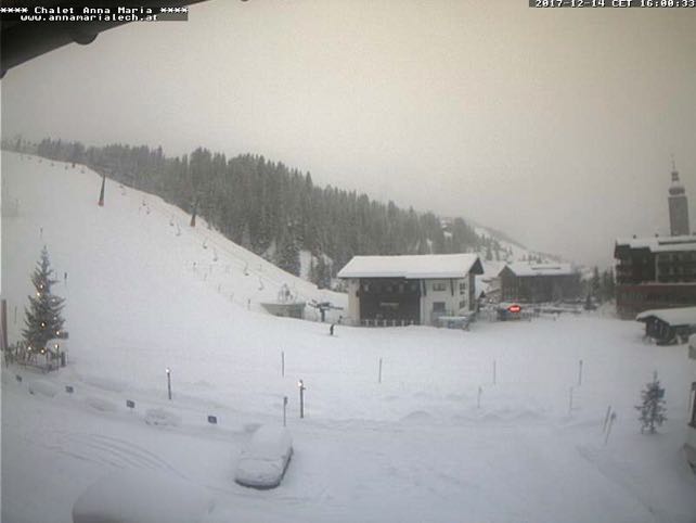
And this was the scene in Lech, which shares its ski area with St Anton, Warth and Zurs. On the Valluga, at the top of the ski area, there’s already 260cm of settled snow, with 55cm in St Anton and 140cm mid-mountain.
Across much of Italy there’s been less snow: although some parts of the central Italian Alps and western Dolomites saw quite significant falls on Monday. As a result, Madonna di Campiglio now has 50-100cm of snow across its slopes.
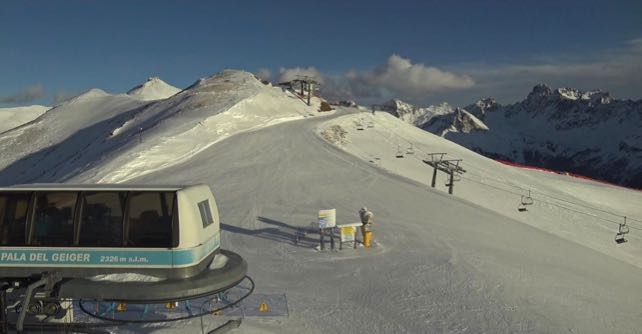
Further east in the Dolomites, there’s a solid base of top-quality snow-cannon snow underneath a thinner coating of Mother Nature’s cover. Here’s how it looked above Canazei this afternoon. Across the Dolomiti Superski area 935km pistes are now skiable.
It is, in short, snowy beyond our wildest dreams, and the current concern is about avalanches, not bare, grassy slopes. Check out the Facebook video of a planned avalanche set off by the piste security services in La Clusaz yesterday, for a sense of the potential risks. Please be careful if you’re tempted to ski off-piste!
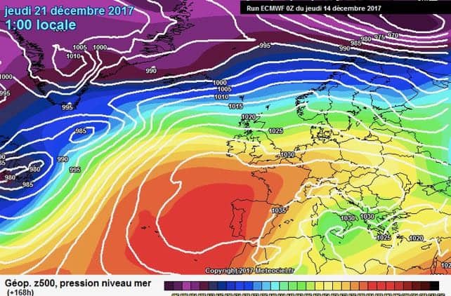
However, the weather will change next week in the run-up to Christmas, and a much milder, sunnier spell is forecast. It’s too soon to be sure of it: but if it comes, you can expect the snow on slopes below about 2500m to be affected. It’s not that it will melt away completely – there’s too much of it around now for that to happen. But it won’t be as light and soft as it is now, and will be going through a daily cycle of melting and refreezing.
Here’s the latest chart from the ECMWF to give you an idea how different next week could be.


Add Comment