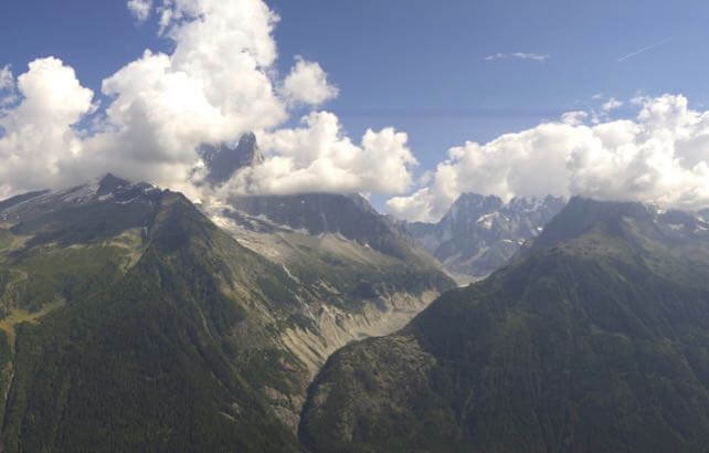
It’s hard to believe, with the temperature in the Chamonix valley nudging 28C this afternoon: but on Saturday it’s probably going to snow in the Alps.
The high pressure that’s dominated the region’s weather this month is forecast to retreat into the Atlantic, allowing in much cooler, wetter air from the north. At the moment, Austria looks most likely to see the white stuff. It could fall down to 2,000m in the Tirol and Vorarlberg.
It’ll stay cool and unsettled for a few days, but by Thursday next week the weather will have calmed down and the sun will be out. Crucially, however, it won’t be as hot – which is great news for anyone who’s taking part in the Ultra Trail du Mont Blanc next week. Trail running when it’s toasty isn’t much fun – especially if you’re competing over a 170km course that climbs through 10,000 vertical metres…
Meanwhile, in the Southern Hemisphere…
It’s been another snowy weekend in south-eastern Australia. Thredbo claimed 45cm of new snow between Friday and Sunday morning. Currently, the natural snow depth in the resort is 203cm.
What a season they’re having…
https://www.youtube.com/watch?v=BgtvcWVj6Ek
The ski resorts of New Zealand have had less snow, but conditions were excellent at the weekend.
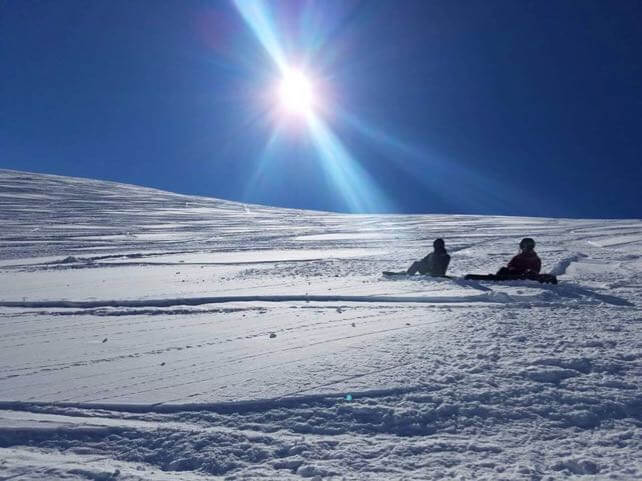
This was The Remarkables, near Queenstown, on Saturday. The resort has had 16cm of fresh snow over the last week.

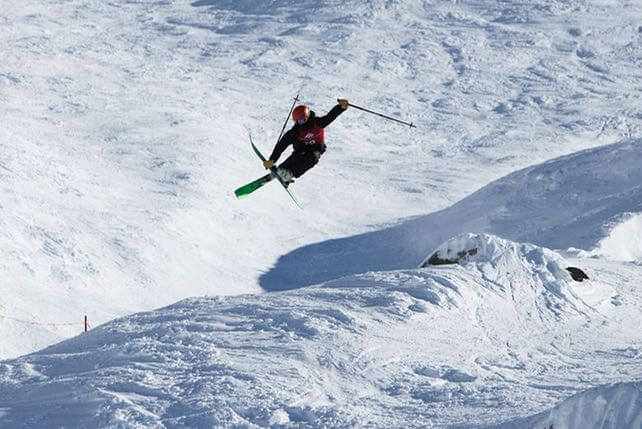
And this was Saturday’s Mini Mountain event in Treble Cone, above Lake Wanaka.

The resort had 25cm of snow last week, and settled snow depths currently range between 144 and 169cm deep across the mountain.
The outlook for NZ’s South Island is changeable, to say the least – but at least the trend is generally cold. A low pressure system is currently swirling over the country, and snow showers are expected right across the Southern Alps over the next five days.


Add Comment