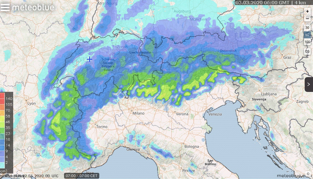
Check out Meteoblue’s 24-hour snow forecast to 7am tomorrow morning, March 3. Parts of the French Alps and Italian Dolomites are expecting 50cm of the white stuff. Further east, the Austrian Arlberg and Hintertux Glacier could see 30cm as well.
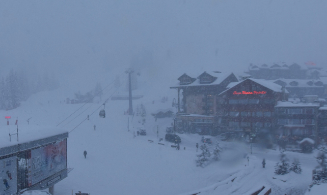
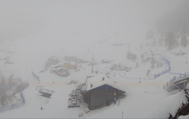
Here’s how it was looking this afternoon in Courchevel in France.
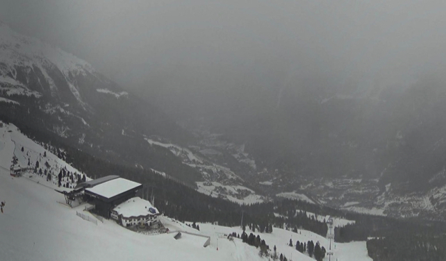
And this was the view in Solden, Austria as the snow began to fall.
Meanwhile, this was the scene above Courmayeur, in the Aosta Valley this afternoon.
This is the latest in a string of snowstorms to hit the region over the last week. According to MeteoFrance, around a metre of snow had fallen in Val d’Isere since Tuesday, February 25 – before the latest dump was delivered today. Here, 30cms are expected by the time the skies clear.
Yesterday, off-piste conditions in the resort were reported to be amongst the best of the season. Today, however, the avalanche danger was rated 4/5: which pretty much precludes any further off-piste skiing.
What’s more, as the skies clear tomorrow and temperatures rise there are likely to be lots of spontaneous discharges of snow on sunny slopes. Great caution will be needed if you’re powder-hunting.
Then, guess what? More snow is expected on Thursday and Friday, before temperatures rise at the weekend.
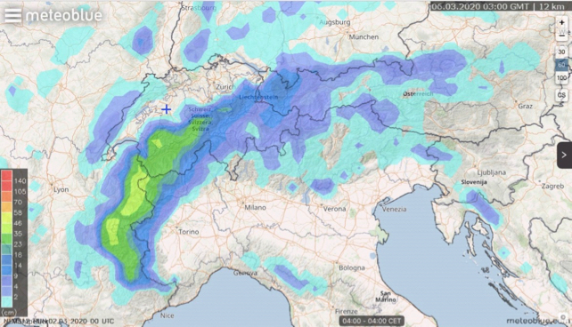
The weather is set to be changeable next week as well. So we can expect more snow. Just be sure to aim high to get the best of it. It is March, after all. Whenever the sun comes out, it’ll quickly affect the snow on lower slopes.




Add Comment