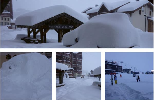
There’s up to a metre of fresh snow in the French Alps, thanks to one of the biggest early-season storms to hit the region in recent memory.
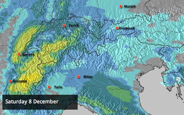
The storm blew in on Monday, and it’s still snowing now. There’s plenty more in the forecast too, with Saturday looking like the next big-snow day.
Skiing has been difficult, to say the least. In the resorts already open, most of the slopes are above the treeline, and white-out conditions, accompanied by biting northerly winds, have kept most people indoors. Today in Tignes, for example, 100km/h gusts have been recorded on the Grande Motte glacier, and the top of the ski area is closed. Top temperature up there today is forecast to be -19C – and that’s before you factor in the wind chill. The avalanche risk is 4/5.
There’s some great video of current conditions in neighbouring Val d’Isere on the Radio Val d’Isere’s Web TV page. The commentary’s in French – but with so much snow around, no translation is necessary.
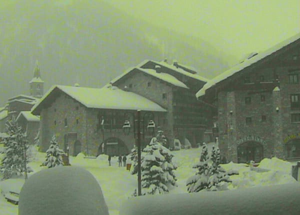
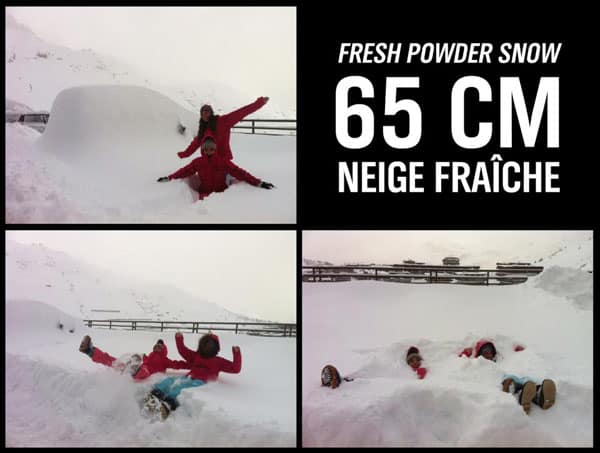
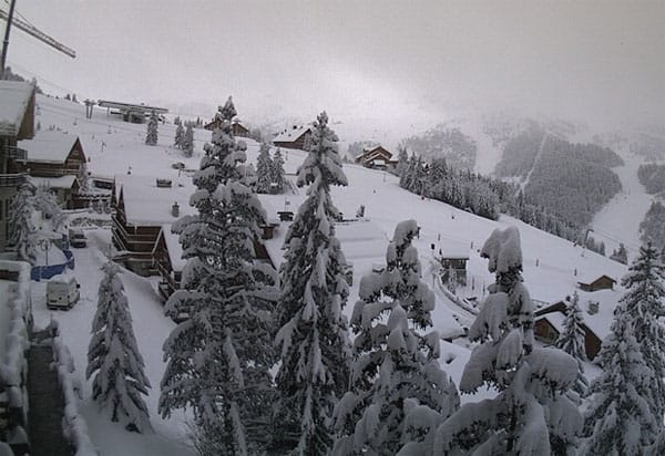
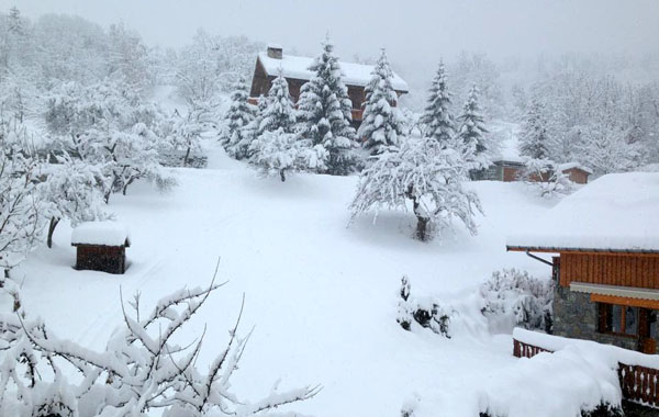
It’s not just the quantity of snow that’s fallen but the frigid temperatures accompanying it that have made this storm special. One of our editors, Peter Hardy, drove back from Val d’Isere to Geneva on Monday, and reported heavy snow falling all the way to the airport. It’s been manna from heaven for the lower resorts, which are working hard to prepare for Christmas – and several are opening for season previews this weekend to celebrate. Among them are Le Grand Bornand (which reports 80cm of snow on its upper slopes), and Les Carroz in the Grand Massif.
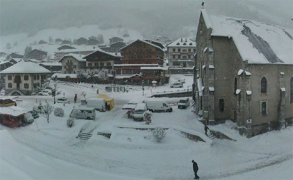
There’s snow in the forecast every day for the next five days, but according to our precipitation/cloud cover maps, the skies will clear for a while on Thursday, before the next big weather front rolls in on Friday. With the avalanche risk so high extreme caution will be needed – and skiers should resist the temptation to ski off-piste. All the same, on safer slopes conditions are going to be out of this world. Up high in Val Thorens for example the snow is now lying 195cm deep – that’s a metre deeper than Monday’s figure! The pistes are going to be squeaky, cold and grippy. In word, bliss.
(It’s worth noting at this point that Meteo France’s avalanche service reckons the early-season snow depths are some of the deepest since 1950.)
France has had the heaviest snow, but it’s been falling everywhere across the northern Alps this week – up to 70cm has been recorded in western Switzerland, and there’s been plenty in the Arlberg resorts of Austria. As a result, St Anton has been able to confirm that it will open tomorrow: a big relief after it was forced to postpone its intended opening last weekend.
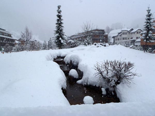
We’ll have more snow news in tomorrow’s snow report. Currently, it looks as though this icy northern blast will continue until Tuesday – and then temperatures will rise again. However, a combination of heavy snow and hard-working snow cannons mean that the cover in almost every resort – high and low – should be good over Christmas. So if you’re planning to ski soon, get to work on your ski fitness! You’re going to need it.


I’m ever-so-slightly excited this morning. I’m off to the French Alps on Saturday – and LOOK HOW MUCH SNOW THERE IS. https://t.co/wx0ut7y1
French resorts open this weekend… and look how much snow there is! We’re booking our tickets now : ) https://t.co/7pMAocFV
RT @snowandrock: French resorts open this weekend… and look how much snow there is! We’re booking our tickets now : ) https://t.co/OAxCHkam
RT @SnowAndRock: French resorts open this weekend… and look how much snow there is! We’re booking our tickets now : ) https://t.co/7pMAocFV
@mongrandbo snow powder is there! https://t.co/gZw8QNwK
“@SnowAndRock: French resorts open this wkend… and look how much snow there is! https://t.co/sh0Ythsy” @kyle_woods @robkenny1 @carl_woods
A Metre of Fresh Snow in the French Alps https://t.co/jSz5Orwh
A Metre of Fresh Snow in the French Alps https://t.co/M2gKDqrQ more than a meter in Megeve 😉
A Metre of Fresh Snow in the French Alps https://t.co/M2gKDqrQ