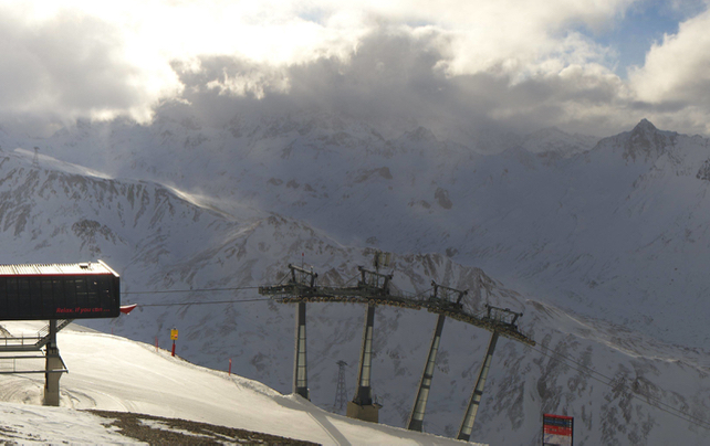
This month, the weather in the Alps has been flip-flopping regularly. One moment, the region is engulfed in a blizzard, with snow piling up even in the lowest resorts. The next, it’s as mild as March, with the daytime freezing point climbing above 2500m.
The last five days have been typical. On Friday, a big storm muscled into the western Alps, with snow settling down to about 1000m. In places half a metre fell in just 24 hours. Then, on Saturday the snow turned to rain below about 2100m, and on Sunday, as the skies cleared, temperatures jumped.
It has stayed warm since then. Today in the western Alps the daytime freezing point has been up near the 3000m mark.
So although the cover at altitude remains very deep for the time of year (parts of western Switzerland have more than 170% of their usual snow depths for mid-December), its condition is variable.
Down at 1000m, the snow is patchy. Below 2000m it’s often wet and heavy. Above 2000m there’s a real mix of conditions: wind-slabs, high, sheltered stashes of powder, and lumpy, south-facing slopes. On the groomed pistes, skiers won’t be too troubled by these variations. But if you’re planning to ski off-piste, a guide will be essential.
Today, there’s been some snow along the south side of the main Alpine ridge: but lower down in Italy it’s been raining. Expect drier conditions by Thursday, before another storm system arrives on Friday. Temperatures will drop – and there should be snow down to the valley floor in even the lowest resorts on Saturday and Sunday.
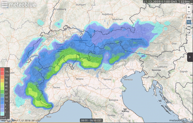
Here’s Meteoblue’s snow forecast for the Alps for the 24hrs up to 8am on Saturday, December 21.

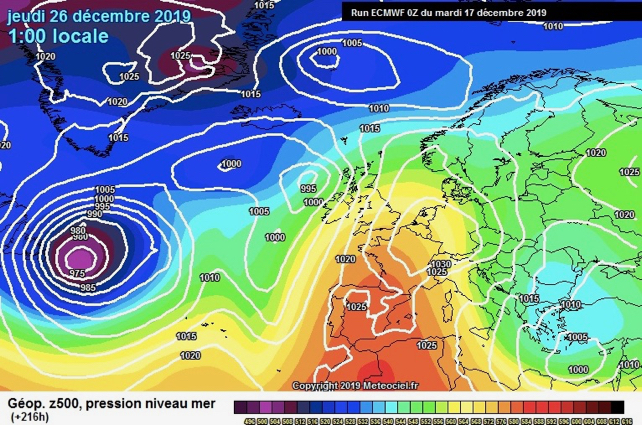
Then, the mid-range forecast for Christmas is for increasingly sunny and mild weather. Here’s the current outlook for Boxing Day, courtesy of the ECMWF.

Over Christmas, expect some lovely weather for mucking about with the kids, or cruising the pistes: but rather less in the way of powder, unless you’re skiing in the highest resorts.


Add Comment