


Winter is tightening its grip on the Alps.
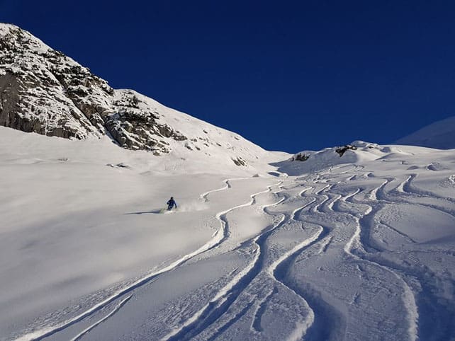
After last week’s cold snap, the piste-skiing is already excellent in those Alpine resorts that are already open. As you’ll see from the photo above, taken in the Austrian resort of Lech on Saturday, there’s some powder about too, if you know where to look.
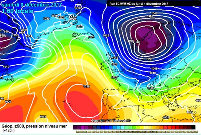
What’s more, if the mid-range weather forecasts are anywhere near accurate, we’re due another significant spell of wintry weather, starting on Friday.
Here’s the current ECMWF forecast for Saturday, courtesy of meteociel.fr.
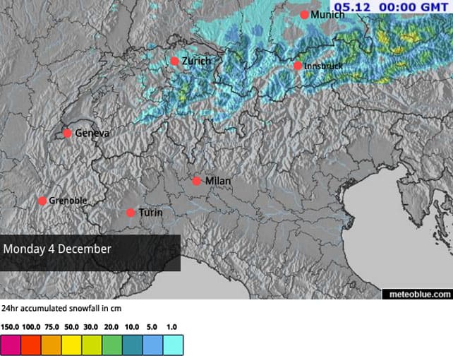
In fact, the current spell of wintry weather hasn’t even finished yet in the eastern Alps – as you’ll see from today’s snow forecast. As I write, it’s still snowing in part of the Tirol and the Salzburgerland.
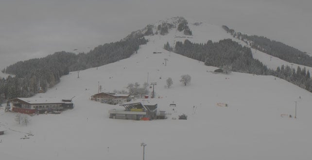
Here’s how Soll, in the Skiwelt, looked earlier this afternoon.
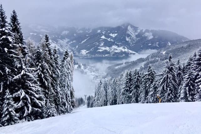
And this was Zell am See this morning.
By contrast, in the west, high pressure is already in control of the weather, and temperatures are rising. On Wednesday and Thursday, the daytime freezing point could hit 2500m in France. But the good news is that the thaw will be short-lived, and by Friday, when the first snow starts to fall, the freezing point will have sunk to 500m.
Snow depths are already very respectable for the time of year. In Lech, there’s already 70-115cm of cover on the pistes. In Ischgl, nearby, the cover isn’t so deep, but excellent work by the snow cannons means that 195km of piste are already open. Meanwhile, in Italy, the Dolomiti Superski area is offering 441km of skiable pistes, with a minimum snow depth of 40cm.
In France, Val d’Isere-Tignes has 75-46cm of cover on the pistes, and 42 out of 157 pistes are open. Val Thorens has 110-85cm of settled snow on its slopes and 51/86 pistes open.
Here’s how Val d’Isere looked this morning.
Not bad, huh? We’re still some way off the truly epic start to winter we saw in 2012, but it’s been the best opening week of the ski season since then. There is always the chance of a nasty warm spell with rain before Christmas – and for that reason I wouldn’t bet my festive break on a low-altitude resort just yet. But if we do get more snow this weekend, then Christmas in a resort with plenty of skiing above 2000m will be a very attractive proposition.
Meanwhile, in North America…
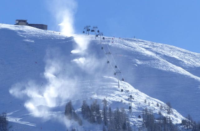
Across the Atlantic, the Pacific Northwest and northern Rockies are still the places to aim for. Further south, in Colorado, there’s been very little snow so far this season. Compare that with Whistler, which reports four metres of the white stuff so far this winter, and a settled snowpack of 153cm, mid-mountain.
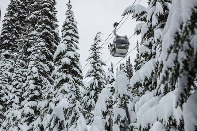
Here’s how it looked on December 1.
It’s worth bearing in mind, however, that the next 10 days are expected to be dry across almost all of the western US and Canada.


Add Comment