Sometimes Mother Nature can be a tease.
For much of last week, the weather at village level in the western Alps was grim: strong winds, unseasonably mild temperatures and – in places – pouring rain. Yes, anyone who cared to look at a webcam or a snow forecast could see that it was dumping higher up. But still: the mood across the region was subdued to say the least.
Then, at the weekend, temperatures dropped and the sun came out…
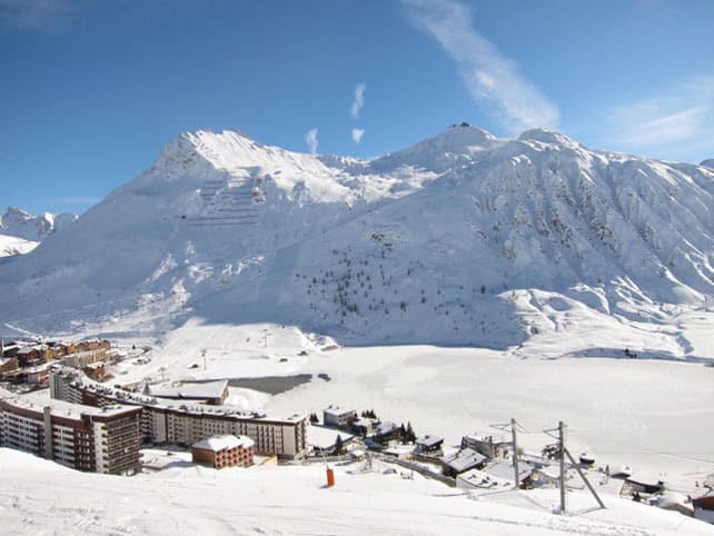
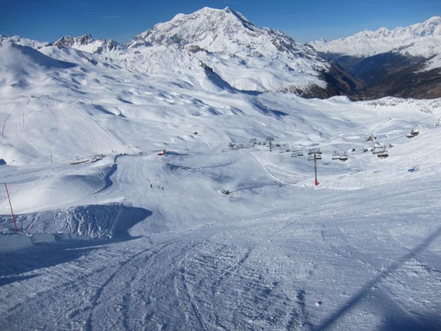
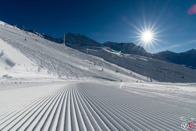
This was Val d’Isere, which opened on for the season on Saturday.
This was Tignes…
And this was Val Thorens, which opened on November 19, but saved the celebration for its Grande Premiere party of November 25-26, which served up free ski and snowboard testing and live music. 15,000 snowfiends showed up to join the fun.
In other words, parts of the western Alps have been absolutely walloped. In my last snow report I posted an unlikely-looking forecast which suggested a few high-altitude spots along the French and Swiss border with Italy would get 150cm of the white stuff in 24 hours. Well, Radio Val d’Isere has reported two metres fell on the Pisaillas Glacier in 48 hours. The snow wasn’t quite as heavy elsewhere across the area, but at altitude the settled, on-piste cover is now 155cm. 155cm on November 28!
By contrast, below about 2100m the cover is now thin or non-existent across much of the region. The rain and mild temperatures took care of that. But at least now it’s cold enough for the snow cannons to run at full pelt.
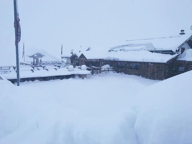
Cervinia in Italy was another high-altitude resort that had heavy snow last week. This was the Chalet Etoile restaurant on Friday.
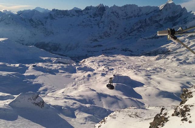
And this was how Cervinia’s ski area looked on Saturday. Up high, there’s an impressive 160cm of snow packed-down on piste.
Meanwhile, further east in the Alps, there was less precipitation last week – but higher temperatures. That did bad things to the snow cover, lower down, but temperatures have dropped significantly now: and the snow cannons are running at full pelt.
What’s more, it’ll be staying cold for much of the week. Whereas in the French Alps the daytime freezing point may briefly touch 3000m on Wednesday, in Austria it’s not likely to get much above 1600m, thanks to a cool northerly airflow.
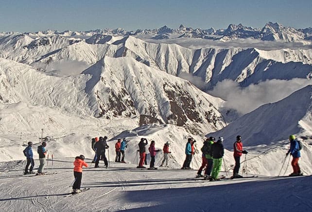
Here’s how it’s looking in Ischgl today, which opened on Thursday last week.
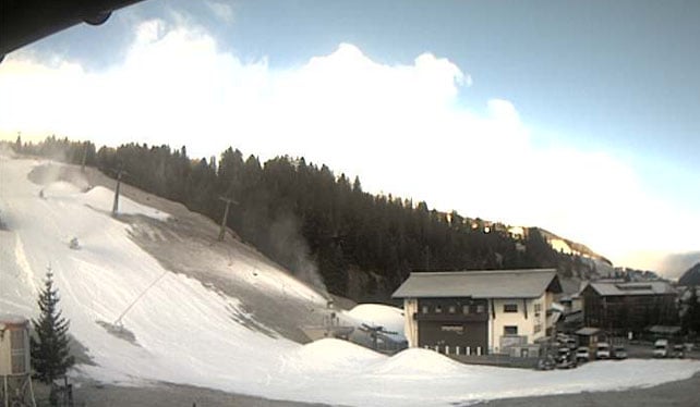
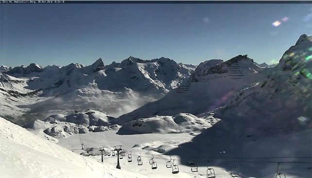
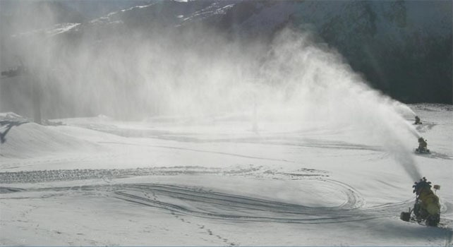
And here’s evidence snow-making from Lech-Zurs in the Arlberg, which opens at the weekend – with two new lifts connecting them to St Anton.
As you can, there’s plenty of snow in the ski area, higher up.
The cannons are firing in the Italian Dolomites too: this is the Passo San Pellegrino above Moena in Trentino.
As for the medium-term outlook – well, it’s going to be sunny for much of the week and colder in the east than the west. The best chance of snow is at the eastern end of the Austrian Alps, but that’s not yet certain – and the the trend seems to be for high pressure to dominate over western Europe for at least a week (and quite possibly two). So if you’re planning an early-season ski trip, you’ll need to aim high.
Meanwhile in North America…
Winter may have got off to a slow start in the Rockies: but conditions are improving rapidly. In Utah, the resorts of the Wasatch mountains are getting their first proper winter storm – with up to 60cm forecast for Snowbird and Alta by the time the clouds lift. “Monday should get better and better and Tuesday morning should be money. If only we had a bit more terrain open…” says Opensnow.com reporter Evan Thayer.
Here are a few snowy moments from Snowbird’s opening day, yesterday.
And this was the 5am snow stake today at Beaver Creek in Colorado.
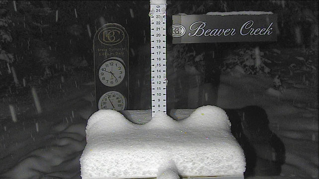
Colorado snow guru Joel Gratz reckons most resorts should have at least 25cm of snow by the time the storm clears. A week of settled and sunny weather is expected after that.
North of the border, Whistler reports 6cm of fresh snow this morning, after a wonderfully snowy week. Over two metres fell on the upper slopes on either side of opening day. There’ll be more snow flurries this week, but the outlook is drier and sunnier.




Great work, much appreciated. Bring on the Snow!:)
We are in the Otzal valley where the early season skiing is superb this week thanks to low temperatures and sunshine.
Thanks to Sean for recommending it in an article?