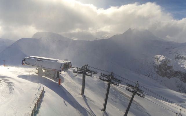
“Eventful” is one way to describe the weather in the Alps over the last week. Parts of Italy were hit by vicious winds, torrential rain fell in some areas, and – up high – there was heavy snow.
As a result, the glacier ski areas are suddenly in excellent condition for the time of year.
On the Grande Motte glacier above Tignes, for example, there’s now 100cm of cover on the pistes. That’s impressive, given its autumn opening was held back until October 17 on account of the mild weather.
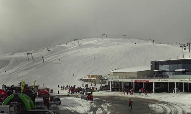
Here’s how it looked in Solden in the Tirol this morning, with 11 lifts and 30km of pistes already open for skiing. At the top of the ski area, there’s now 186cm of settled snow.
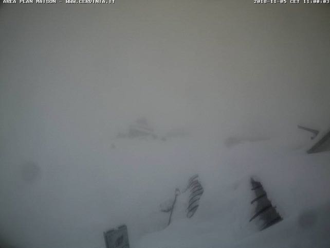
Pictured below was Cervinia this morning. There’s not much to see, except for one important detail:how much snow there is on the roof. 110cm of the white stuff has already settled here, mid-mountain, and 160cm at the top of the ski area. There’s good skiing across the border in Zermatt, too – although the links between the two resorts are not open today. When the skies do clear, some of the best early-season skiing will be found here.
However, it’s worth noting that although there’s been a lot of precipitation, it has also been mild, especially at the eastern end of the Alps. In Solden today, for example, the temperature at resort level is +11C – despite the excellent conditions on the glacier.
So in the lower resorts the net effect of last week’s dramatic weather has been negligible. There’s snow on the peaks, but most of the slopes are still a vivid green.
The turbulent trend looks set to continue – although we’re not expecting the same mayhem as at the end of October. There’s snow falling along the main Alpine ridge today, and in a few other high-altitude resorts, notably Passo Tonale in Italy. This will intensify on Tuesday evening, and then on Wednesday the snow will fall to lower altitudes for a time in the western Alps.
More weather fronts are expected at the end of the week in the west, with a similar effect: snow at altitude, occasional chilly shifts in the wind – but generally mild. So the snow will continue to accumulate on the highest Alpine pistes, but not lower down. Next week could be even milder, though it’s too soon to be sure of that.
That’s fine for now. It’s only early November. But if you’re planning an early-season trip, make sure there’s plenty of altitude in your plans, all the same.
Meanwhile, in North America…
High–altitude Breckenridge, in Colorado, is set to open on November 9. Conditions are looking good…
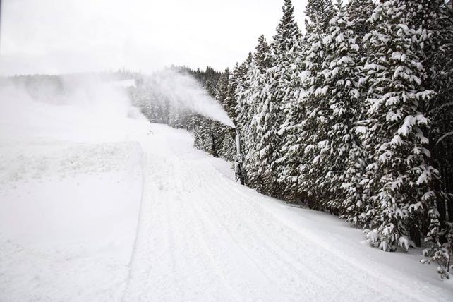
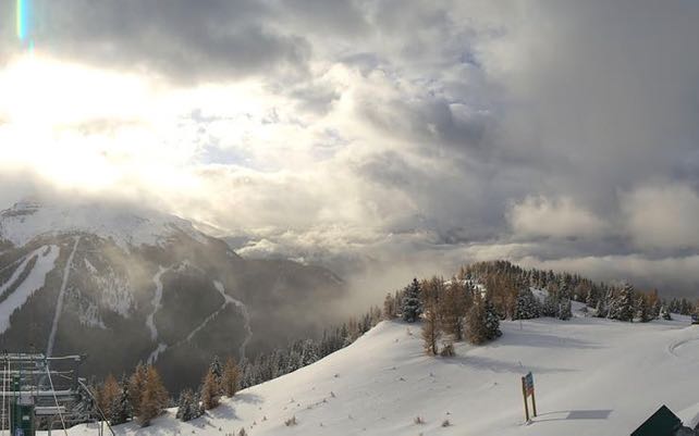
Lake Louise is also opening on November 9. They’ll be working the snow cannons hard on the lower slopes in preparation for the big day, as cover is patchy lower down, but up top it’s properly wintry.




I really enjoy reading about the progress Mother Nature is making with the snow in the Alps. I appreciate your stories and updates!