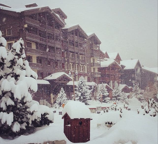
It’s not quite as monstrous as we thought it might be, at the beginning of the week. But still, the storm that hit the Alps yesterday evening had some muscle, and in places has dropped up to 35cm of snow overnight. It’s likely to continue snowing along the Franco-Italian border for much of the day, too.
The snow has favoured Italy and those resorts in France, Switzerland and Austria that line the Italian border. In France, Val d’Isere has had 30-40cm so far. Neighbouring Tignes claims 20cm, and little Bonneval-sur-Arc (on the other side of the Col de l’Iseran from Val d’Isere), reports 25cm. It was still snowing heavily there at the time of writing.
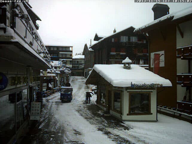
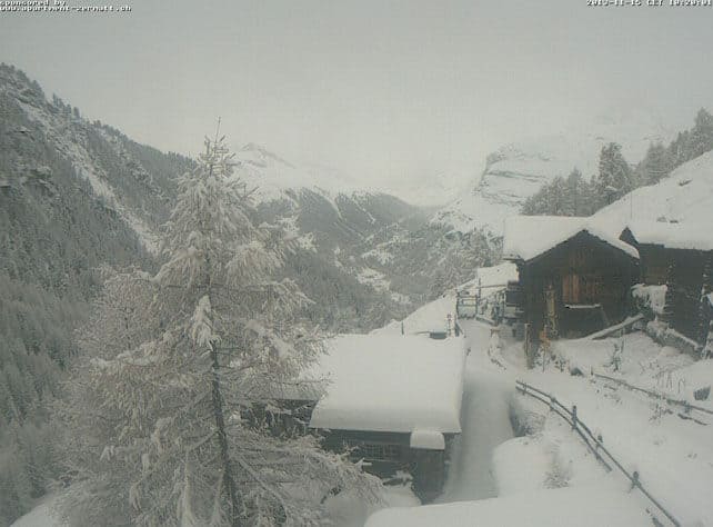
Over in Saas-Fee, Switzerland, the glacier is closed to skiers today because of the avalanche risk, and there’s been 30cm in town, and 35cm up top. Across the border in Italy, both the Monterosa ski area and Cervina claim 15cm of new snow.
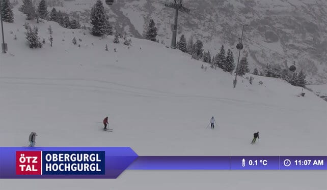
Meanwhile, anyone who read our Snow Report yesterday will know that Obergurgl in Austria is now open for skiing – the first big resort without glacier skiing to get going for winter. It got an overnight present from Mother Nature of 30cm of new snow at the top of the ski area. Powder day!
Today’s Snow Forecast for the Alps will give you and idea of where the snow is falling.
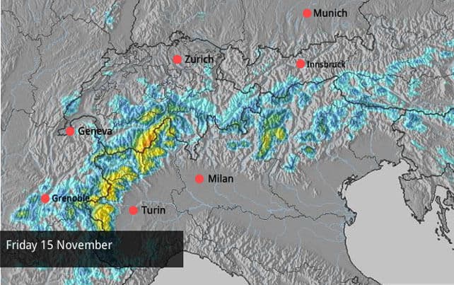
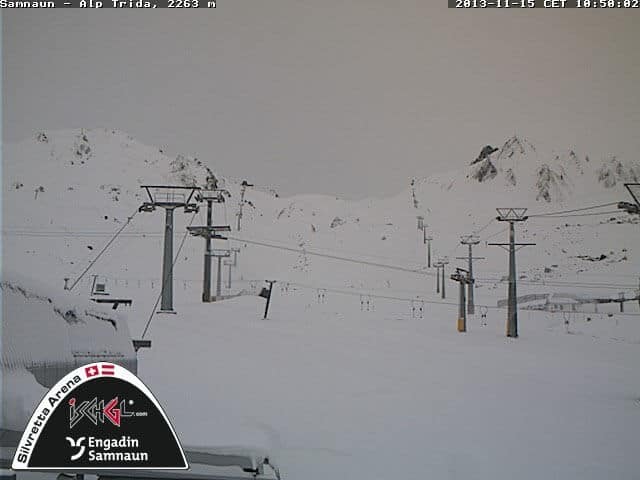
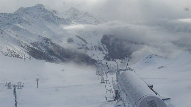
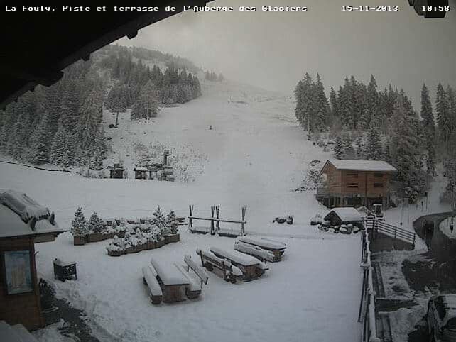
And here’s a sample of the morning webcams and Facebook shots.

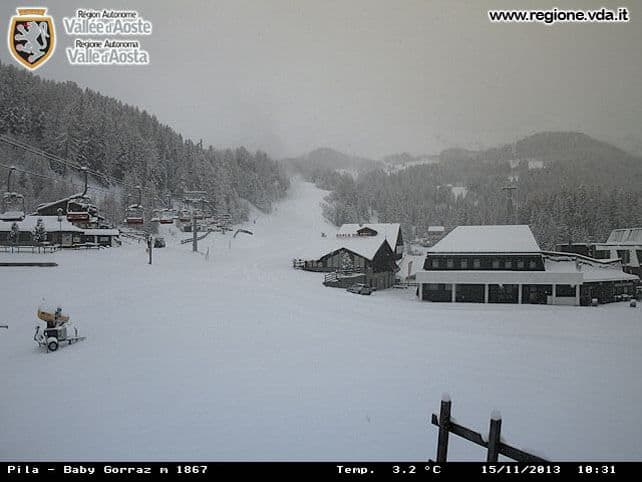
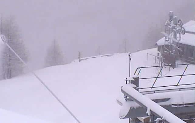
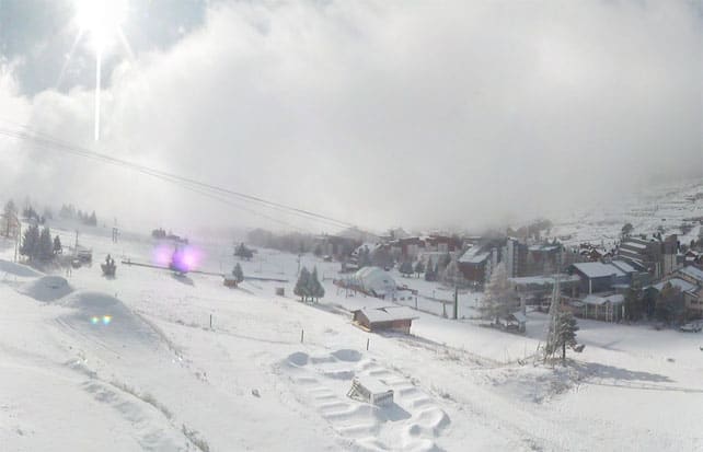
What’s next? Well, according to French forecasters, Meteo Chamonix, it’s going to stay cold in the French Alps into Saturday – with a raw, humid, north-easterly wind called La Bise predominating. Then, on Sunday and Monday it’ll warm up, and the freezing point will rise to 2600m. By November standards that’s not a particularly sharp thaw, and it’s expected to be followed by colder weather – and more snow – on Tuesday. Currently, our Snow Forecast is predicting heavy snow in the western Alps on Tuesday, though it’s too soon to be certain just how much will fall.
Further east, it will be warmer over the weekend, with a mild southerly wind blowing and the freezing point up to 3000m in parts of Austria. Here too the temperature is expected to drop on Tuesday, though how the weather will play out beyond that is a moot point. The mid-range forecasts haven’t settled on a consensus yet. Some kind of intense cold snap is on the cards: though increasingly it looks as though it will be short-lived.
Fancy a quick pre-Christmas ski trip but not sure where to go? Check out our guide to the best resorts for early-season skiing for some ideas.


Again! And again…and again….!!!”Heavy Snow Hits The Alps https://t.co/cLMkij0WBD“
Who’s excited?! Heavy Snow Hits The Alps https://t.co/17j3uw5iKR via @welove2ski
Take a look at this…………
its snowing………… https://t.co/UX9zxkIxEl
Let it snow…….https://t.co/YH27E3w0jc