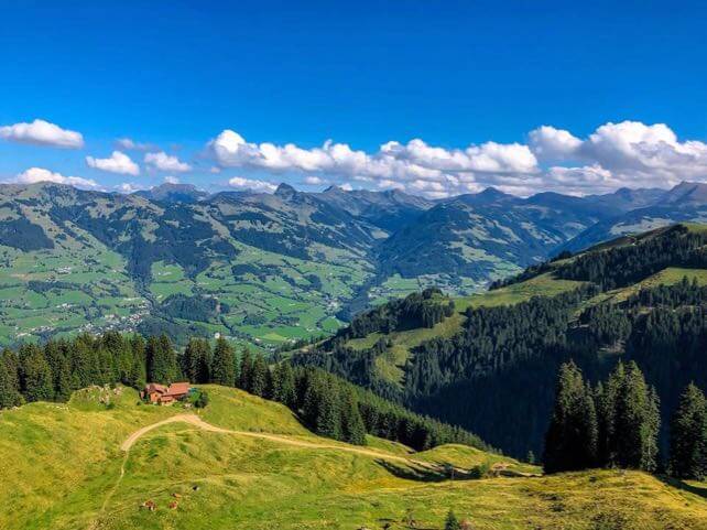
Sorry snowfiends. If you’ve come in hope of another dose of September snow I can’t oblige. In sharp contrast to the weekends of August 25-26 and September 1-2 it’s been sunny and warm in the Alps. And it’s about to get even warmer.
According to French forecasters Meteo Chamonix, a southerly airstream is going to bring mid-summer heat for a short time this week. Temperatures will be up to 30C in the Alpine valleys, and tomorrow the daytime freezing point could rise to 4700m. In the Austrian Alps it won’t be much lower, at 4500m. The snow on all the glaciers will suffer as a result.
This blast of really hot weather shouldn’t last long. The weather should turn stormy and (slightly) cooler on Thursday. But after that, there’s no consensus in the mid-range forecasts about what to expect. The middle of next week could see an unsettled, snowy interlude. Or the late-summer heat may return.

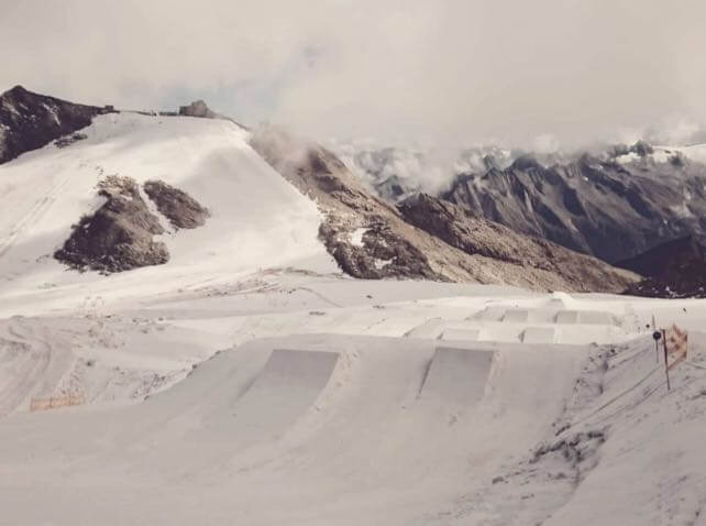
If you fancy skiing, regardless, there are several options – most notably the Hintertux glacier, which is open all year. On Saturday, it opened its Betterpark freestyle area too. But I’d wait for October, and a higher probability of fresh snow and an autumnal chill. Check out our guide to the best resorts for early-season skiing for ideas about where to start.
Meanwhile, in the Southern Hemisphere…
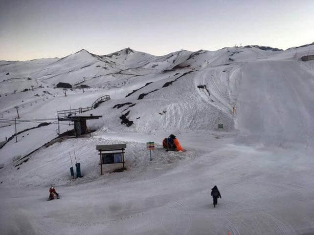
As you can see from this photo of Valle Nevado, in the central Andes, spring has definitely sprung in the South American ski resorts.

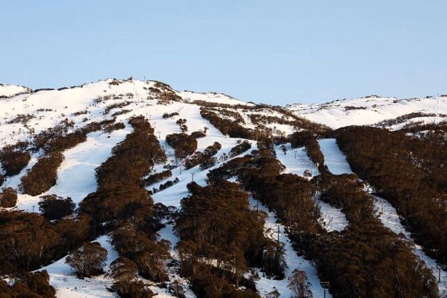
It’s the same in Australia. Pictured below was Thredbo this morning, which was expecting a classic spring day: starting with firm, hard-packed pistes and finishing soft up top and slushy at the bottom.

Neither regions are expecting much the way of snow this week. By contrast, the forecast for the Southern Alps of New Zealand is calling for two stormy spells, on Thursday and Saturday, which should bring snow to the peaks. With temperatures generally mild, skiers will have to move quickly if they want to enjoy the powder before it gets wet and heavy.


Add Comment