At last! It looks as though the weather in the Alps is going to change. However, the transformation won’t be immediate – and there’s still a chance it won’t materialise in the full-blooded form predicted by the mid-range forecasts.
Right now, high pressure and mild temperatures are still in control (although there was snow in eastern and central Austria on Tuesday and Wednesday). In the French Alps today, the freezing point will be up around 2500m, and in Austria it’ll hit 2200m.
There’ll be more sunshine over the New Year weekend, but then on Monday temperatures will drop and on Tuesday we could see light snowfall across the whole of the northern Alps. Here’s the current January 3 snow forecast.
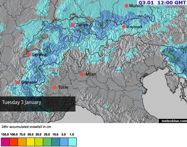
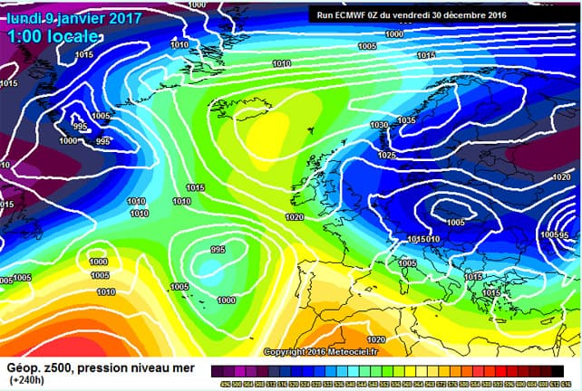
It may be that, in the end, the snowfall will be more focused on Austria: and it will probably be followed by a day or two of sunshine. But then – finally – a more significant lump of cold, unsettled weather is predicted to settle over the region.
This is the latest January 9 forecast from the ECMWF.
I realise this is ten days away. But what’s giving me hope is that several other mid-range forecasts are predicting more or less the same outcome. Fingers crossed! (It’s also worth noting that the current run of forecasts suggests the eastern half of the Alps are more certain of a wintry spell than the west.)
In the meantime, there’s the fresh snow in the eastern resorts of Austria to be skied. 25-30cm fell in places during the mid-week snowstorm that brushed the far side of the Alps on Tuesday and Wednesday.
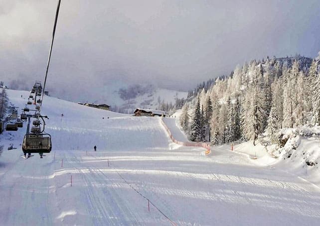
Here’s how it was looking in Schladming yesterday.
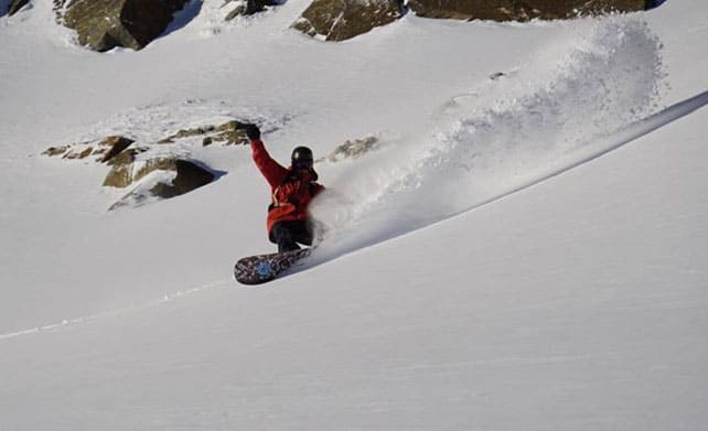
There was powder on the Kitzsteinhorn glacier, south of Zell am See, too.
Mild sunshine returned to the area yesterday, and will have affected the snow on the lower slopes. But if you can get above 2200m you should still find soft, squeaky snow (and maybe a scrap or two of powder).
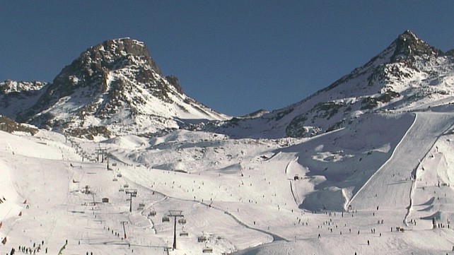
Elsewhere, the situation is unchanged from my last report. Resorts with good snow-making systems have lots of skiing on offer, despite the dry weather that’s dominated the Alps since late November. These include Ischgl, which has 191km of skiable pistes at the moment. Here’s how the resort’s main bowl looked earlier today.
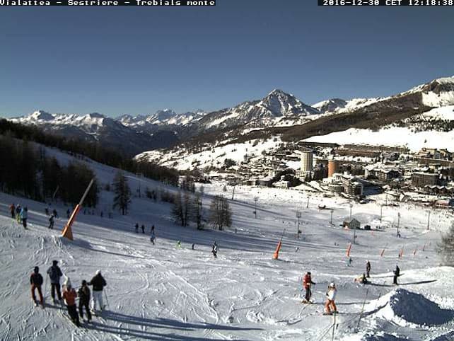
In the south-western Alps there’s good natural cover, too – thanks to snow in late November and just before Christmas. Pictured below was Sestriere earlier today.
And this was Serre Chevalier.
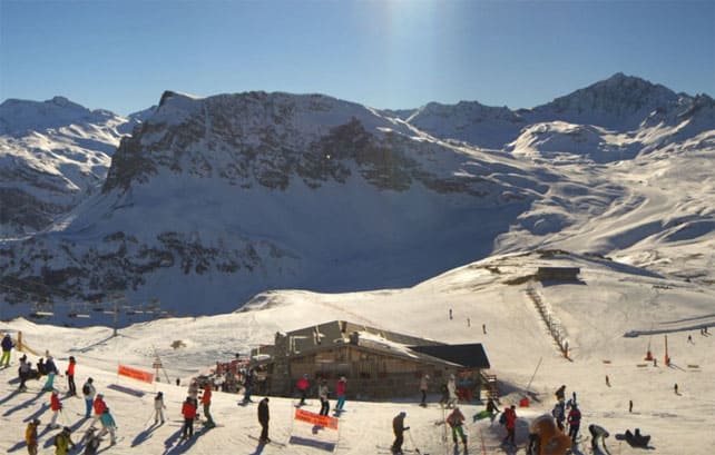
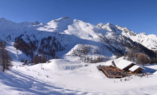
The high-altitude resorts of the west have a decent mix of natural and man-made snow, too, especially those close to the Italian border. This was Val d’Isere at lunchtime today.
Other ski areas are doing less well, notably the lower resorts of the north-west. Today, for example, the Portes du Soleil in France has only 50 out of its 330 pistes open.
Meanwhile, in North America…
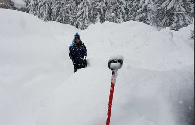
In sharp contrast with the Alps, the western resorts of North America have had wonderfully snow December. Whistler in Canada is among the latest beneficiaries. Yesterday it reported 56cm of snow in 48 hours.
Here’s Inghams rep Liz earlier this week in Whistler, with plenty of digging to do…
Further south, the weather has been quieter and milder since the weekend: but more snow is expected between Sunday and Wednesday as a cold front moves down from the north. Temperatures will drop sharply. Breckenridge in Colorado is expecting a high of -10C on Wednesday. In Jackson Hole, Wyoming, it could be -18C. The snowfall is likely to be lighter as a result: and a day or two of blower pow could well be on the menu.




Stunning on piste conditions now in Saalbach, fresh snow this week and temps constantly below freezing so cannons on full blast ! Get there now ! Cheers Jon
And in Val d’Isere – almost all lifts open and all areas in Val d’Isere/Tignes open. Great skiing to be had under clear blue skies with cold temperatures.
Thank you Sean!
I’d like to point out what a fantastic work has been done in the northeast of Italy.
Despite the lack of natural snow, the conditions throughout the dolomiti superski are just amazing.
Cheers