In the Alps, February finished with a bitterly cold flourish. By contrast, the beginning of March has been mild. We’ve not had any freakishly warm weather yet. But temperatures have risen significantly from the Arctic shock last Tuesday. On Thursday, Friday, Saturday and Sunday the daytime freezing point nudged the 2100m mark – and whenever the sun was out, well…
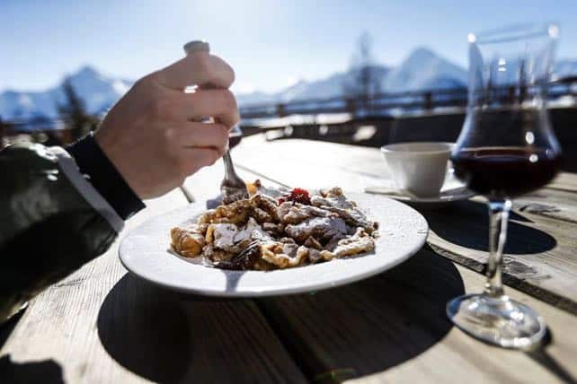
…as Mayrhofen’s Facebook feed suggested today, it was the perfect weather for lunch on a restaurant terrace.
In the western Alps there’s been some fresh snow about, too. South of Grenoble, Serre Chevalier reported 20cm of the white stuff on Sunday, and some lovely skiing – summed nicely up by this photograph.
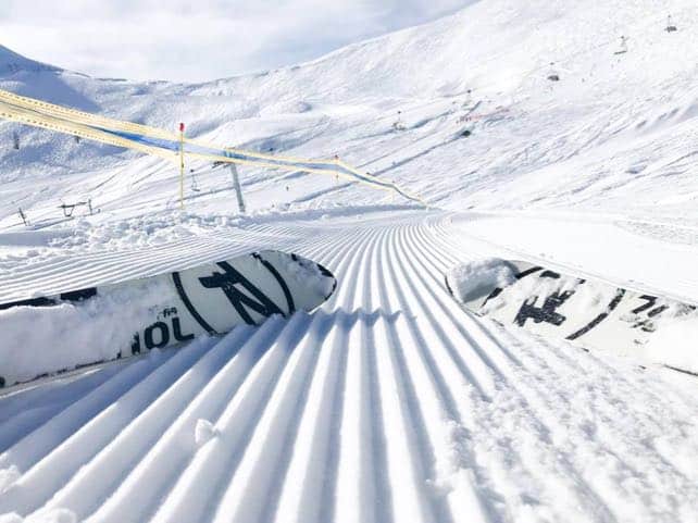
Meanwhile, the Three Valleys (home to Courchevevel, Meribel, Les Menuires & Co) notched up about 25cm of new snow between Thursday and Saturday, and there were similar amounts in Val d’Isere-Tignes. Here’s how Tignes looked yesterday.
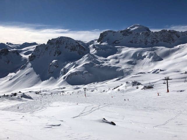
The rise in temperatures has of course affected the quality of the cover. On shady slopes above 2000m, and in the sun above 2500m, the pistes are still soft and squeaky. But lower down the surface is harder, as a result of the daytime cycle of freezing and melting.
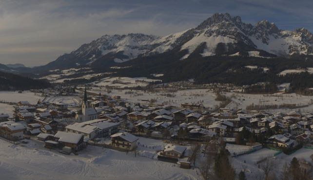
Nevertheless, conditions on-piste are still very good given we’re now into March, and in the western Alps snow depths are still close to record-breaking. What’s more, even in lower resorts such as the Skiwelt, the valley floors are still white. Here’s how it looked in Ellmau late this afternoon.
The situation off-piste is less cheerful. In the western Alps, the new snow is resting on a fragile layer of loose crystals that fell during the Arctic blast, and as temperatures have risen, the instability has grown. There was a grim reminder of the consequences when four skiers died in an avalanche in the southern French Alps on Friday.
Meanwhile, in the east, the risk is lower, because there’s been less new snow. But wherever new snow has accumulated (largely because of the wind) it’s resting on the same kind of unstable layer as in the west. It’s As the Tirol’s excellent avalanche assessment point Freshly formed and older snowdrift accumulations were “highly prone to triggering”, as the Tirol’s avalanche forecast pointed out this morning.
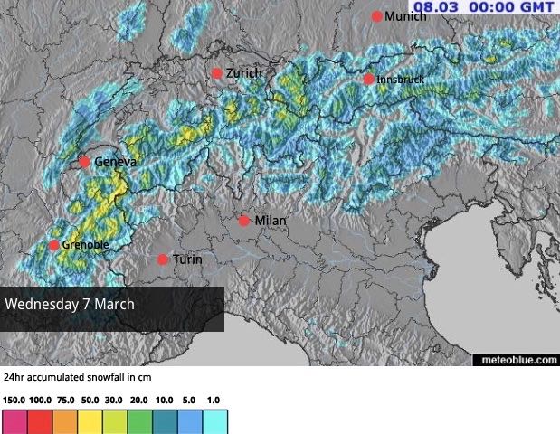
The outlook now is changeable, to say the least. Temperatures are set to drift downwards in the middle of the week, and we’re due more fresh snow – which will settle down to 1000m.
Here’s Wednesday’s snow forecast.
Then, temperatures are likely to rise again, and on Saturday spring will be back in control of the weather. In many resorts, we’re likely to see spells of snow at altitude with some rain at village level.


I read your bulletins regularly. I wonder why there is never any mention or photos of Alpe d’Huez and its satellite resorts. Is it some sort of bias on the part of the author? I seem to recall that the Hardys used to think quite well of it.