


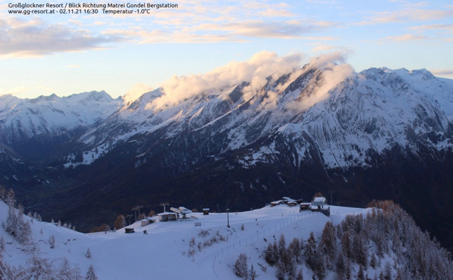
Here’s a sight for sore, snow-starved eyes: sunset at Kals-Matrei this evening in the beautiful Osttirol. The snow comes courtesy of the first snowstorm of the week, which blew into the Alps on Sunday night, and dropped more than 30cm of snow at altitude in several resorts.
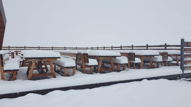
Here, for example, is how it looked at Cervinia in Italy yesterday, while the snow was still falling. Cervinia is already open for skiing at altitude, as is Zermatt across the Swiss border. Today, it reported 90cm of settled snow on the highest pistes.
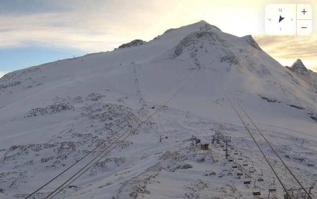
Meanwhile, pictured below was the Stubai Glacier near Innsbruck in Austria this morning. Here, they reported 35cm of fresh snow overnight.
Meanwhile, on the Hintertux glacier, at the top of the Zillertal, they reported 40cm of snow today.
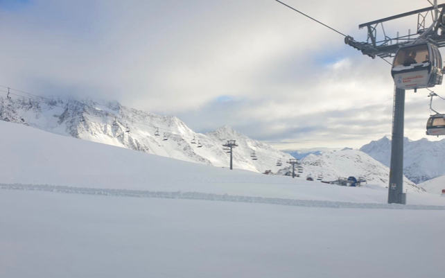
And this is how it looked above Tignes in France this evening. So far, snowfall in France has been lighter than in the central and eastern Alps, but as you can see, the base on the glacier’s pistes is building up nicely.
But what’s even more exciting is the forecast over the next couple of days.
More snow is coming. It’s due in tomorrow and will spread across the whole of the region before it exits northwards on Thursday. As you can see from Meteoblue’s snow forecast below, southern Switzerland, Lombardy, the Dolomites and the southern edge of Austria, including the Osttirol are likey to get the lion’s share.
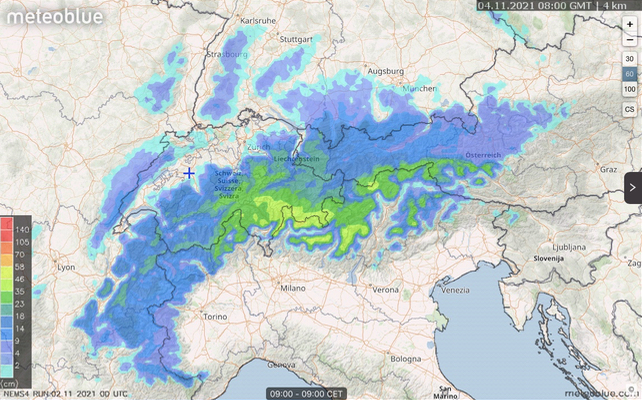
It’s still too soon to talk about a strong start to winter – and it’s also worth noting that the mid-range weather charts from the ECMWF are predicting milder weather next week. But even so, if you’re heading to one of the glacier resorts which are already open, such as one of the five in the Tirol, or Cervinia-Zermatt, or Tignes then Hallelujah. At 3,000m, the new snow will mean more pistes to ski, and deeper, grippier cover. If you get the chance, grab your ski boots and go.
As for me, I’ll be back on the Hintertux on Monday. I can’t believe my luck.


Add Comment