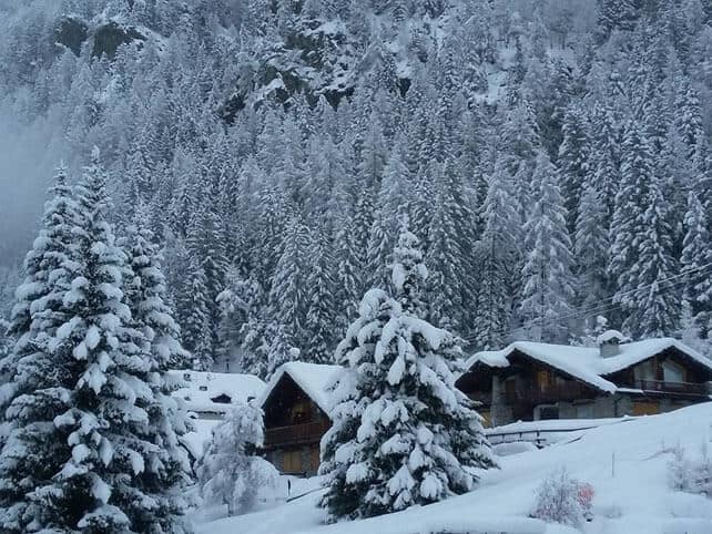
Right now, we’ve got heavy snow falling across the Italian Alps. The storm kicked off on Saturday, got going properly yesterday, and is continuing today – before it shifts north into the Austrian Tirol and eastern Switzerland overnight.
When I wrote last Thursday’s snow report it looked like this would be one of the storms of the season, with over a metre falling in 24 hours in some places. It hasn’t been quite as intense as that, and some resorts have had only light snow (little Madesimo, west of St Moritz, for example has only reported 10cm from the storm so far).
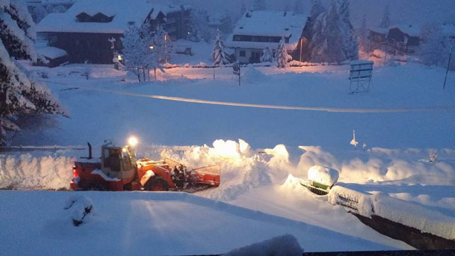
But there have been some quite heavy falls elsewhere. In the west, Limone reports half a metre of fresh snow, and judging by the snow forecast there’s going to be plenty more there today.
Here’s how it was looking earlier this morning in Limone.
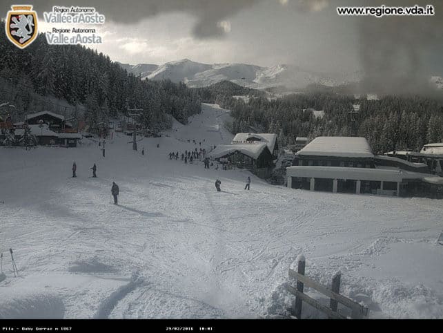
Meanwhile, in the Aosta Valley, east of Mont Blanc, little Pila reports 80cm of fresh snow on its higher slopes. Here, it’s now clearing up.
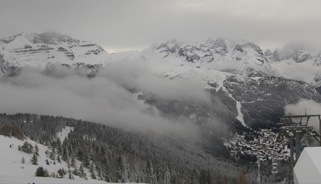
Further east, in the Brenta Dolomites, Madonna di Campiglio reports 40cm of fresh snow yesterday. More fell this morning, although the clouds have now lifted a little.
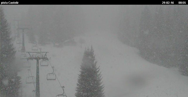
Meanwhile, these are the slopes near Moena, in the Val di Fassa, where up to half a metre of snow has fallen so far.
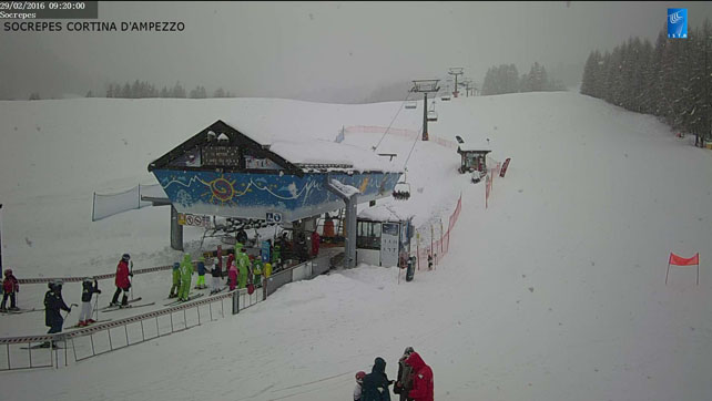
And this is Cortina d’Ampezzo, where 30-40cm of snow has fallen so far.
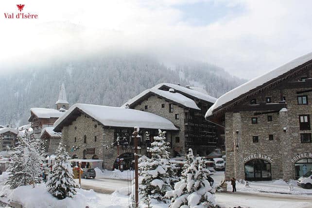
Right through the Alps resorts near the Italian border have done well too. Val d’Isere picked up about 20cm in town yesterday and 45cm above the hamlet of Le Fornet. There’s also been snow in places like Saas Fee and St Moritz in Switzerland, as well as Obergurgl and the resorts of the East Tirol in Austria.
Here’s how it’s looking in Val d’Isere this morning.
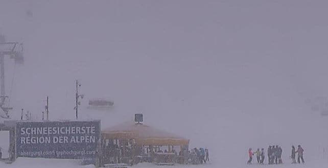
And here’s the snow still falling in Obergurgl.
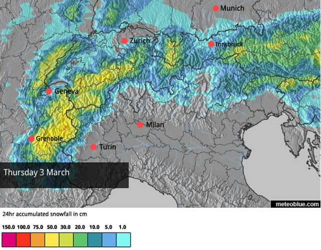
As I said, the storm shifts north overnight. But the real excitement for the northern Alps comes on Thursday and Friday. Check out our latest snow forecast for March 3…




Add Comment