This season, we seem to be having mid-winter in early spring. January may have been mind-bogglingly snowy, but it was mild too. By contrast, the last three weeks have generally been colder, and the latest wintry spell is set to continue until Friday.
In Austria, the daytime freezing point was down to 700m today, and it’ll be at 300m on Wednesday, making it one of the chilliest spells we’ve had all season, apart from the big freeze at the end of February.
In France it’s a little milder, but still far from normal. Here, the daytime freezing point will be around 1000m. A strengthening north-easterly wind (known as La Bise) will make it seem colder too.
There’s also some fresh snow about – thanks to light to moderate falls since Thursday last week. (The southern French Alps, the Aosta Valley, the Italian Dolomites, and Swiss and Austrian resorts along the Italian frontier have had the best of it.) If skies had been clearer today you’d have said conditions were perfect – on-piste at least.
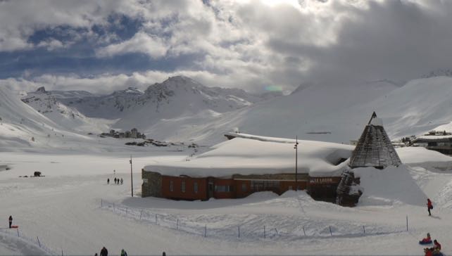
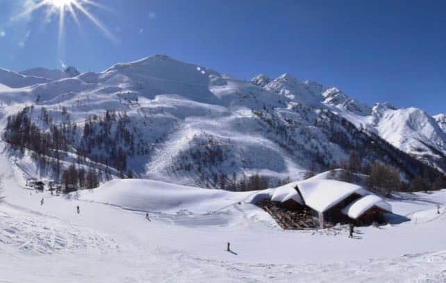
As it was, the sun only really shone in the south-western Alps, as you’ll see from this webcam shot from earlier this afternoon in Serre Chevalier. Note all the snow on the roof of the mountain restaurant. The French resort lies south of Grenoble and in common with Les Deux Alpes and Alpe d’Huez has had an excellent March, with lots of snow. It was clearly a great place to be skiing today.

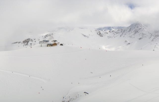
Elsewhere in the French Alps, conditions were more mixed. This was the top of the Courchevel in the Three Valleys this afternoon.

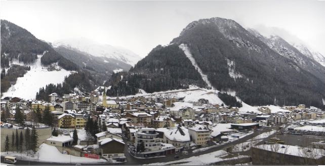
Pictured below was Ischgl in Austria. Low cloud and frequent snow showers meant visibility was pretty poor in the eastern Alps today, but the trend is for clearer weather this week, with plenty of sunshine on Wednesday.

Off-piste, the avalanche risk is considerable, at 3/5, across much of the region. Unstable windslabs have formed as a result of the recent snowfall, and the low temperatures mean they’re brittle and poorly-bonded, too. The best policy is – as ever – to hire a guide and err on the side of caution.
Still, whenever the sun comes out – and provided you’re dressed for winter, not spring – it’s going to be fantastic week in the Alps. And even though temperatures are expected to rise at the end of the week, they’ll still be lower than average for the time of year.


Add Comment