Last week it looked as though the weather would turn wintry in the eastern Alps after Easter. But we didn’t expect it to get as snowy as this…
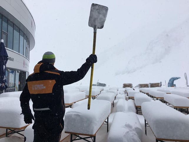
This morning, the Tirol’s avalanche-warning service reported up to half a metre of new snow in 24 hours, with the white stuff settling in the valleys, as well as at altitude. Today the freezing point is likely to be at 800m: a level we haven’t seen since early February.
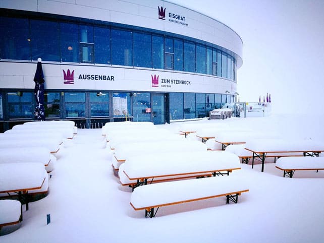
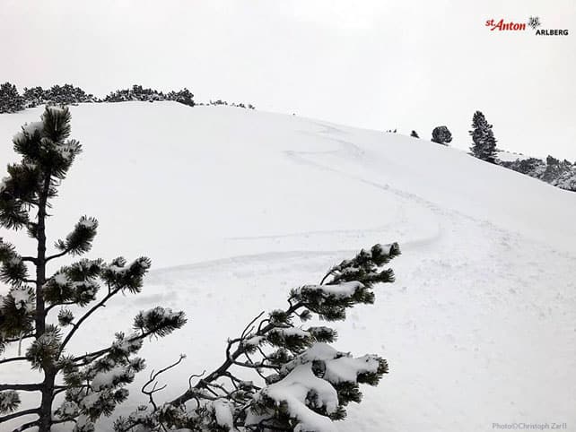
Here’s how it looked yesterday afternoon in St Anton.
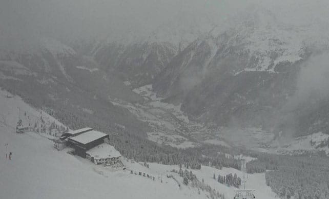
The picture below gives a sense of how top-to-bottom the snow is in Austria this morning – looking down into the Otztal from Solden.
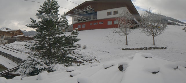
This is Soll, in the Skiwelt. The Skiwelt shut its lifts two weeks ago…
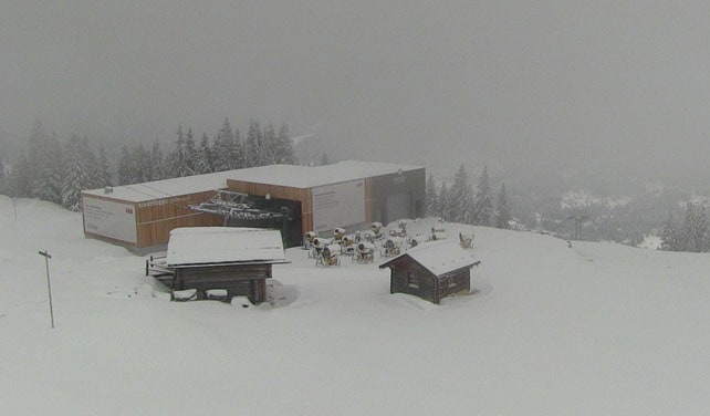
It’s been snowing hard in eastern Switzerland too. This is how it looked in Klosters today.
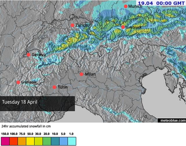
There’s more snow in the forecast too. Below is today’s snow forecast, although it’s worth noting that the heaviest falls were in the small hours of this morning.
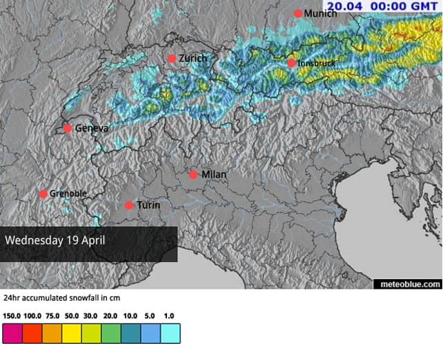
This is tomorrow’s snow map.
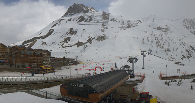
By contrast, it’s been mostly dry in the western and southern Alps. Here’s how it was looking in Tignes at lunchtime. There was a 2-3cm sprinkling of snow here yesterday.
Already, skiing conditions in Austria and eastern Switzerland have been transformed by the dump. But what’s unusual about this cold snap is the fact it could persist into next week – albeit with short warm interlude on Saturday. The ECMWF is currently forecasting cooler weather again on Sunday and then a proper freeze on Thursday April 27.
It is, however, to soon to be sure of that. Off-pisters who are looking for a last glorious charge through powder should ideally be skiing today or tomorrow – providing they read the avalanche warnings carefully, equip themselves properly, and proceed with caution (the risk in up to 3/5 in many areas). However, piste-skiers should still find the groomers in great shape up high at the weekend, in ski areas such as the Stubai, Hintertux, and Obergurgl.




Add Comment