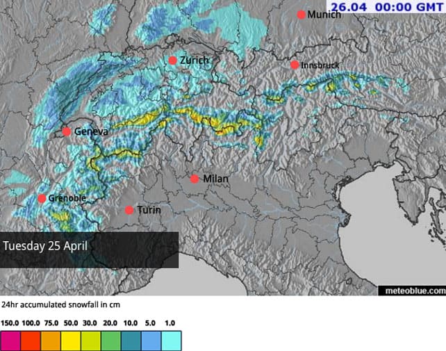
Winter’s back. There was up to half a metre of fresh snow across the northern half of the Alps over the weekend – and temperatures have plunged. The daytime freezing point today will be down at 800m today in Austria, and 800-1200m in France.
More snow is expected over the next five days, with either tonight or Tuesday promising the heaviest falls. Here’s today’s Welove2ski snow forecast (although it’s worth noting some forecasts are suggesting Tuesday will be snowier).
So far, it looks as though Austria has had lion’s share of the white stuff, with half a metre reported in the Stubai and Zillertal Alps – adding to the large amounts of snow that have fallen there since April 8. But there’s also been 15-35cm across the northern half of the Swiss Alps, and 30cm at altitude in parts of France, too – for example on the higher slopes in Tignes, Val d’Isere and Val Thorens.
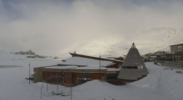
Here’s how it was looking earlier this morning in Val Thorens – the last of the Three Valleys resorts to be spinning its lifts (the other resorts closed yesterday). It stays open until May 8.
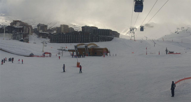
This is Engelberg, which will be open until May 22.
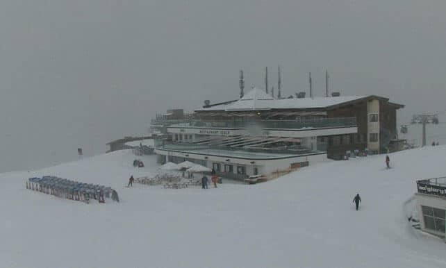
This is Ischgl, which closes on May 1.
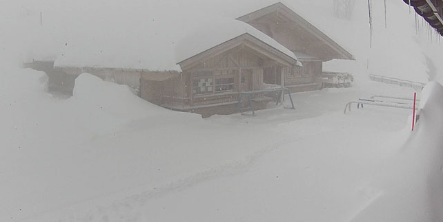
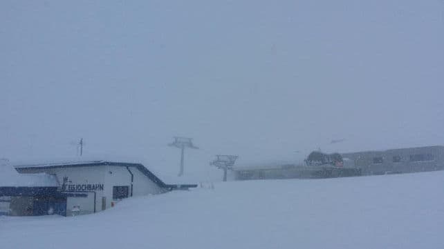
And this is the view up on the Stubai Glacier in Austria this morning. They’ll be skiing here until the end of May.
Whenever skies clear, there’s going to be some wonderful winter skiing on offer, especially above about 2300m. There was rain up to this altitude in many places on Saturday, and underneath the fresh cover it’s still wet and heavy on lower slopes.
Bear in mind also that the avalanche risk is at 3/5, and conditions off piste are very unpredictable just now. Hiring a guide is a very good idea if you’re going to be chasing powder.
Of course, it’s nice to see the new snow – and lucky are those who are out in the Alps right now. But it’s a shame it’s come so late in the month, when most resorts are already closed. We needed a wintry blast like this at Easter…
The outlook is for the cold, snowy snap to last until Thursday. Thereafter we should see a sunny interlude with temperatures a little higher: but it won’t be a full-blooded thaw. In fact, looking at the latest run of maps from the European Centre for Mid-Range Weather Forecasts, there’s a good chance we’ll get another cold snap at the beginning of next week. Then, finally, between May 3 and 5 we should see a return to proper spring conditions.
Check out our feature on where you can ski now for more details on which resorts are still open.




Add Comment