


Bah humbug. Last week, the snow forecast for Saturday and Sunday in the eastern Alps was looking promising – especially for the Austrian glaciers, which were expecting 20-30cm of the white stuff. But in most places only 5-10cm actually fell.
What’s more, the high winds accompanying the snow meant a lot of it was scoured off exposed slopes. Today, skiers today may find themselves wondering if it fell at all.
Still – the sun’s out now, conditions are much calmer, and although temperatures are rising once more, it doesn’t look as though they’ll reach the heights of mid-October. In Austria the daytime freezing point is due to touch 2300m tomorrow, and won’t climb above 3000m until the weekend. So if there is any soft, wintry snow up there, it’s going to stay soft for several days to come.
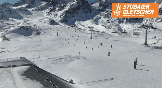
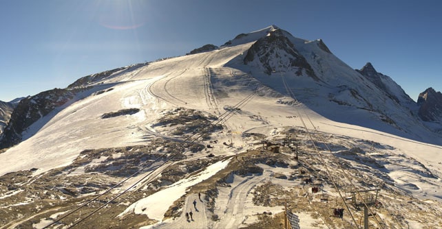
Here’s how it looked on the Stubai glacier earlier today – just south of Innsbruck.
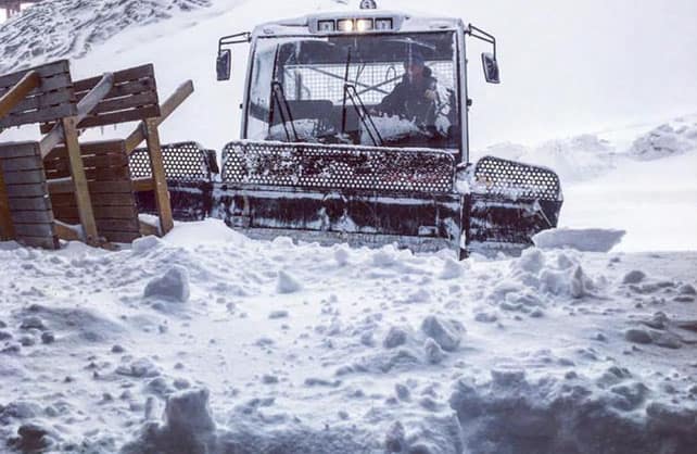
And this was one of the pockets of windblown snow on the Kitzsteinhorn, near Zell am See.
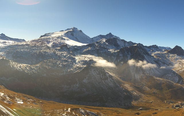
As has been the case throughout the autumn, the western Alps saw much less new snow than in the east. But there was a dusting, as you can see from this webcam shot of Tignes taken at lunchtime today.
Up on the Grande Motte glacier, conditions are good, but they are having to marshal their snow cover carefully. What’s more, this week it will be milder here than in the east, with the freezing point nudging 3000m by tomorrow, so the cover will be going through a daily freeze/thaw cycle, and thinning slightly in the process.
According to the latest mid-range forecasts, the next chance of snow is on Sunday and/or Monday next week. It’s too far in advance to be sure it will come, but currently it looks as though France could do as well as Austria. Fingers crossed they get it, and that a more sustained period of cold settles in.
However, there’s no sign yet that the current pattern of mild weather, interspersed with the occasional snowy interlude, will be broken. If you plan to go skiing in the next couple of months, book a high-altitude resort.
Here’s next Monday’s weather chart from the ECMWF, courtesy of meteociel.fr.

Currently, you can ski on the Hintertux, the Stubai, Pitztal, Kaunertal, Rettenbach, Motttal, Kitzsteinhorn and (in Italy) Schnalstal glaciers, as well as those above Saas-Fee, Zermatt, and Les Diablerets in Switzerland, and Tignes in France. Cervinia is now also opening for weekends.


Add Comment